ACROSS CENTRAL ASIA IN A RENAULT 4
From Lake Baikal to Samarkand
Le Bureau des Rêves is an expedition led in 2014 – 2015 by Louis-Hubert d’Harambure and Thibault de Colnet whose aim was to gather the aspirations of local populations around the world. They traveled successively in Europe, Asia, Africa and South America. While Thibault was away for a while last summer, I joined my friend Louis-Hubert on the shores of Lake Baikal in Russia for an 8,000-kilometer journey in a 4L across ancient Turkestan…
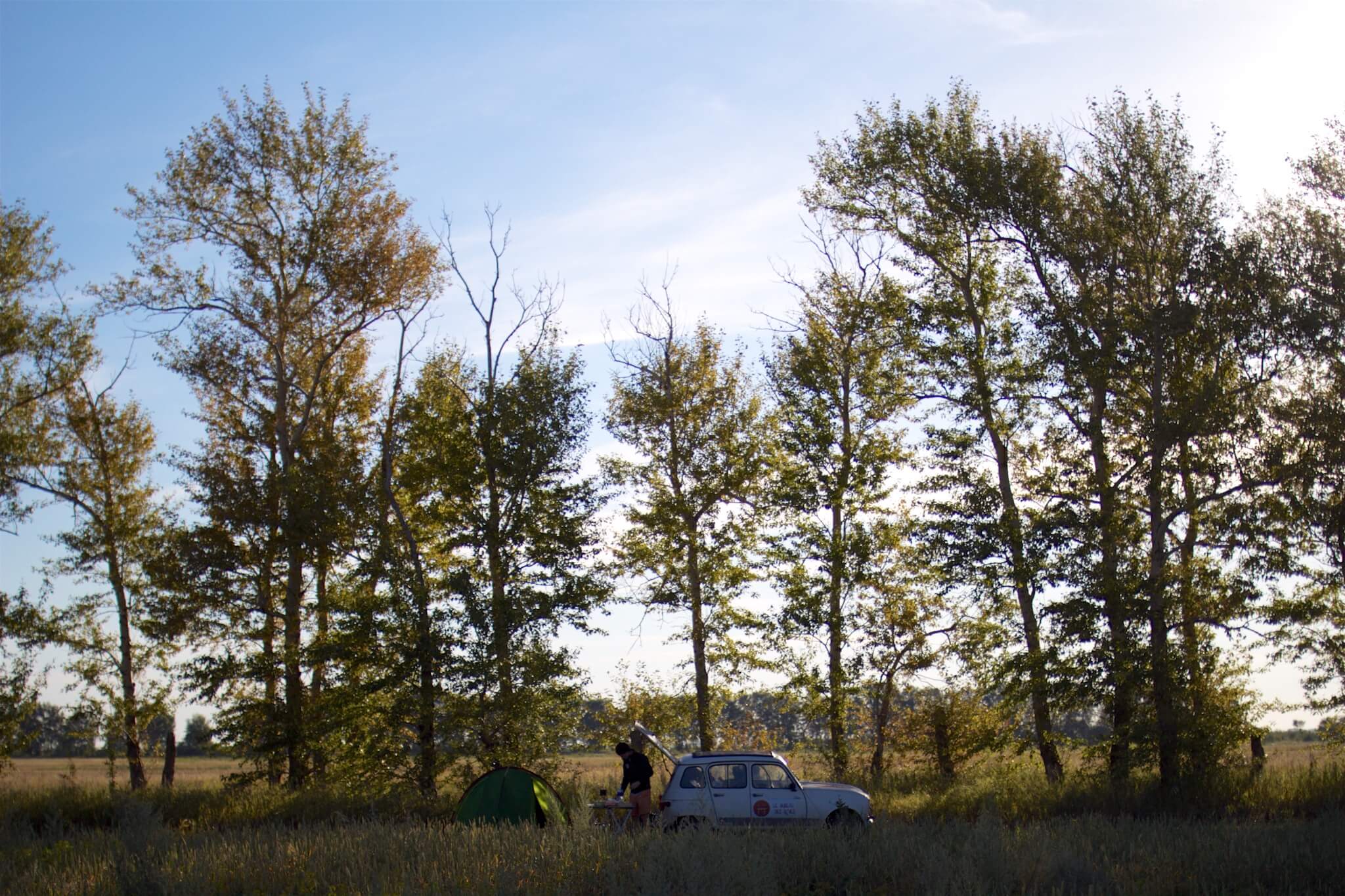
Camp on the green plains of the Altai Krai in Siberia, Russia. Louis-Hubert d’Harambure
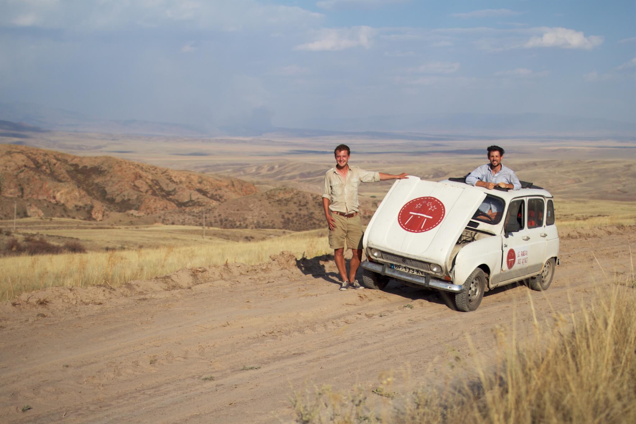
In the Kazakh steppe, the hot air disrupts the 4L’s cooling system. Kazakhstan. Louis-Hubert d’Harambure
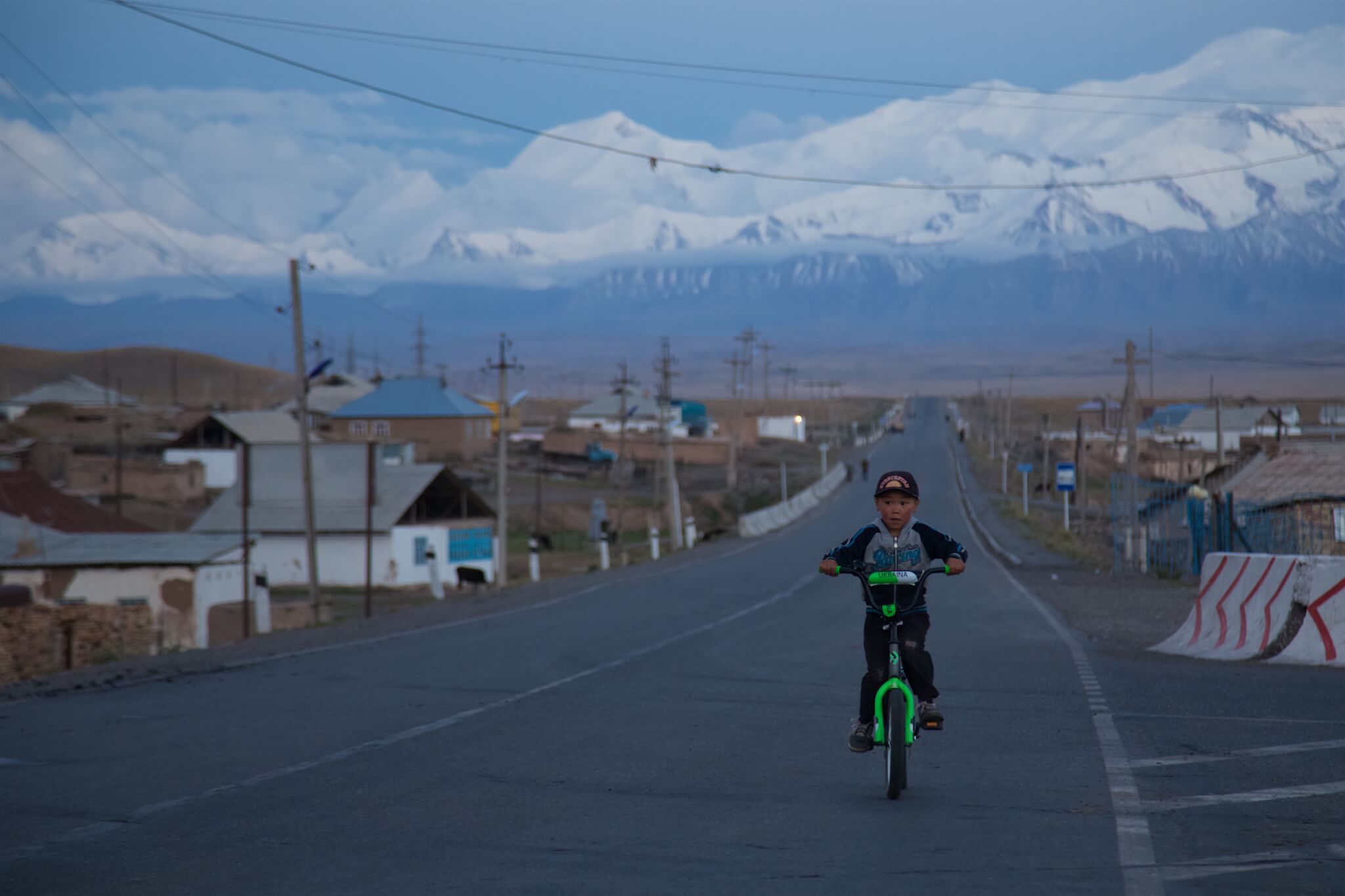
Village of Sary-Tash in the Alaï valley in southern Kyrgyzstan.
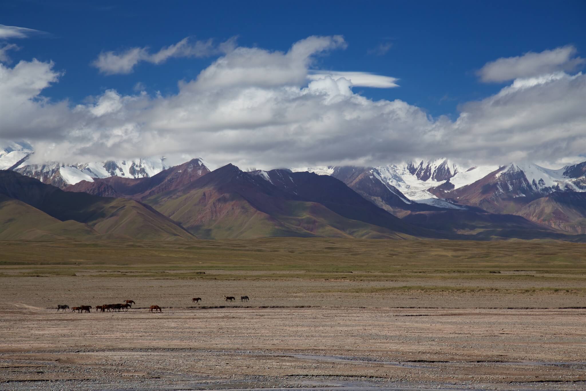
Kyrgyzstan is 90% mountainous, with more than half of the country above 2,500 meters altitude. The majority of the population lives in rural areas and depends on livestock breeding and agriculture. Alaï Valley, Kyrgyzstan.
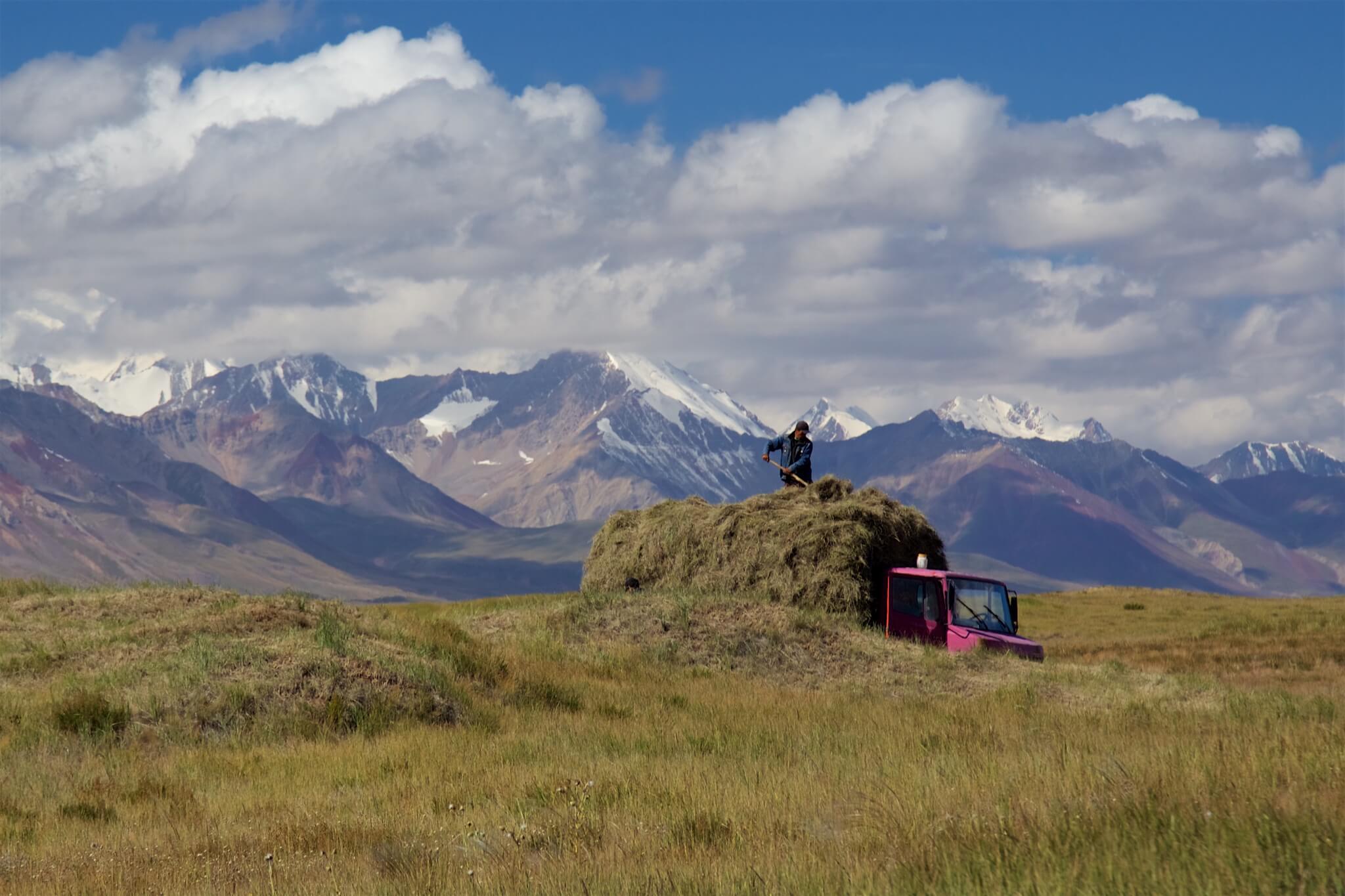
Summer pastures are coveted territories for livestock feed. Alaï Valley, Kyrgyzstan.
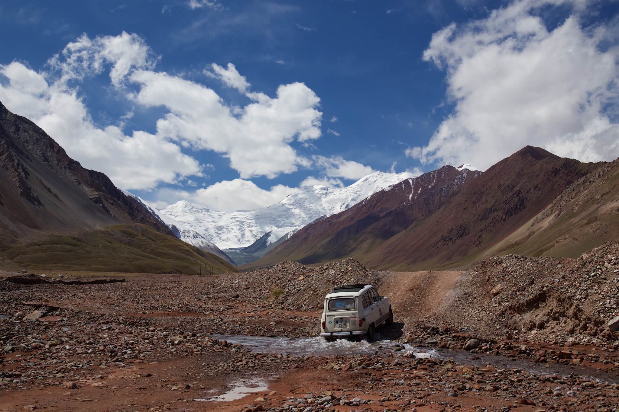
The M41, better known as the Pamir Highway, links Osh, the second-largest city in Kyrgyzstan, to Dushanbe, the capital of Tajikistan. It is one of the highest roads in the world. Built by the Soviets between 1931 and 1934 to facilitate troop transport and supplies, it is perched on a high plateau between 4,000 and 5,000 meters above sea level, and crosses the Pamir mountain range.
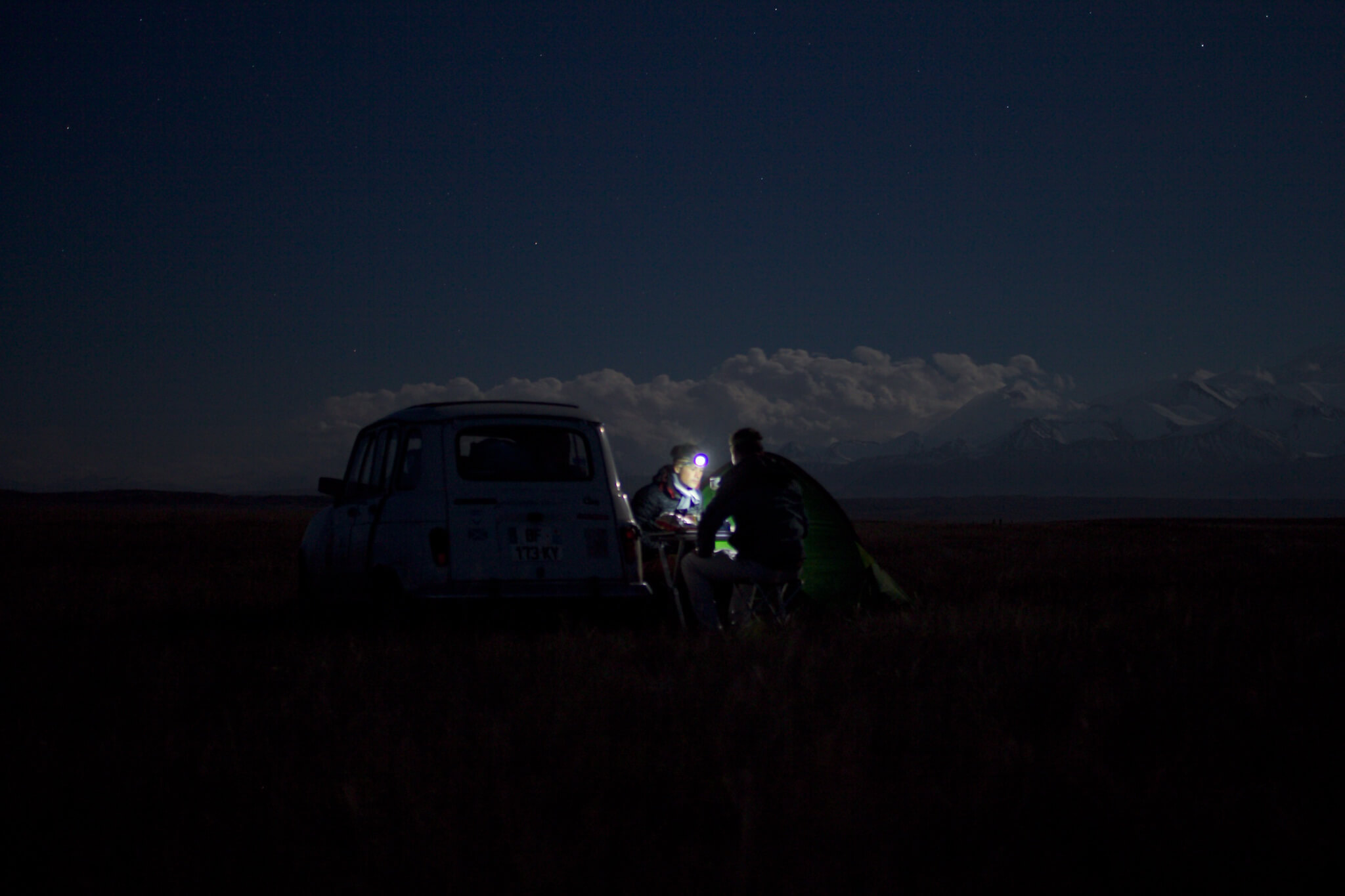
Bivouac in the Alaï valley in southern Kyrgyzstan. In the half-light, Peak Lenin salutes us from its 7,000-meter heights. Louis-Hubert d’Harambure
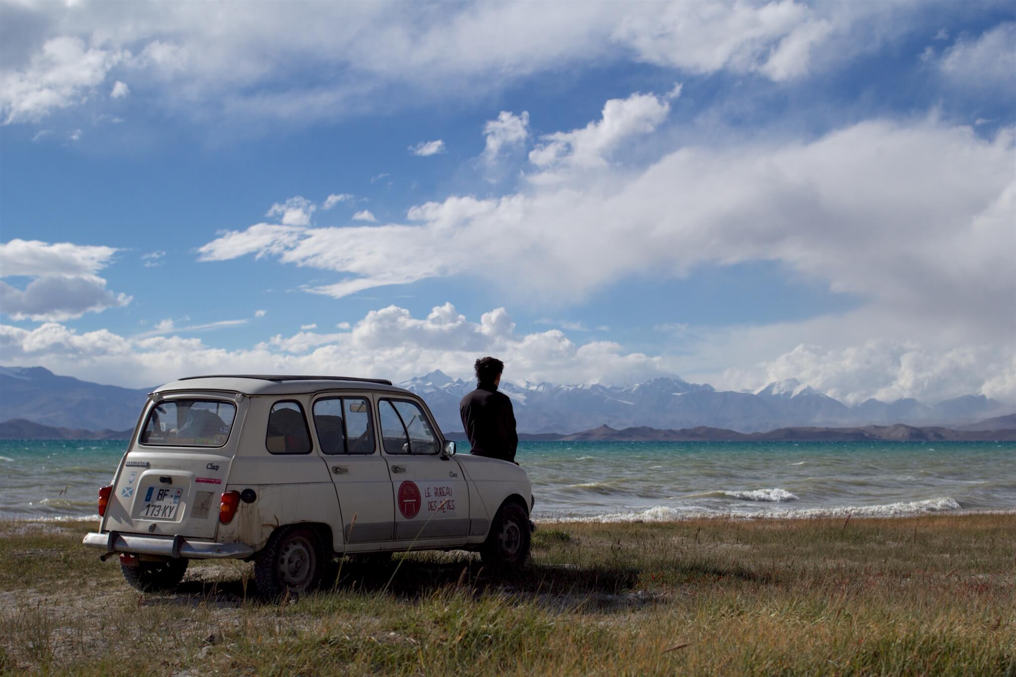
The region’s lakes alone are worth a visit to Central Asia. Louis-Hubert d’Harambure
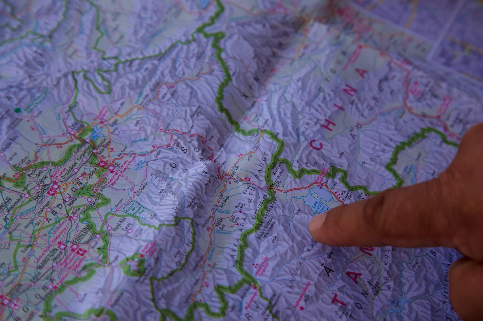
The borders separating the various Central Asian republics were drawn by Stalin between 1924 and 1936, with the main aim of fragmenting their populations and drowning out separatism. The Ferghana Valley, shared between Uzbekistan, Kyrgyzstan and Tajikistan, is a good illustration of this layout. Today, however, this policy of ethnic fragmentation is proving to be explosive between the different peoples, who are mixed together.
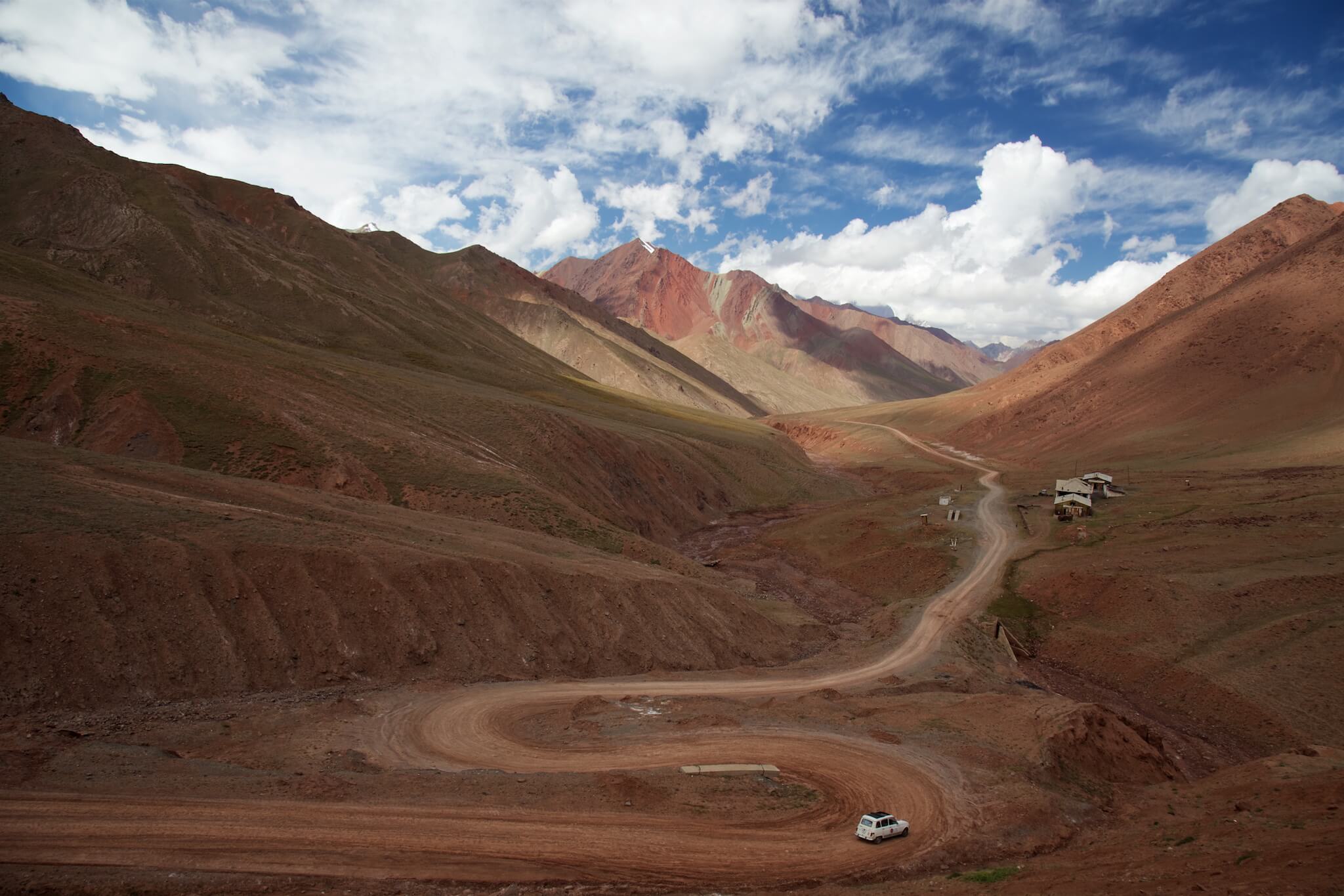
20 km of no-man’s-land between Kyrgyzstan and Tajikistan. To reach the Tajik border post, we have to climb this dirt track which leads to the Kyzyl-Art pass at 4,282 meters.
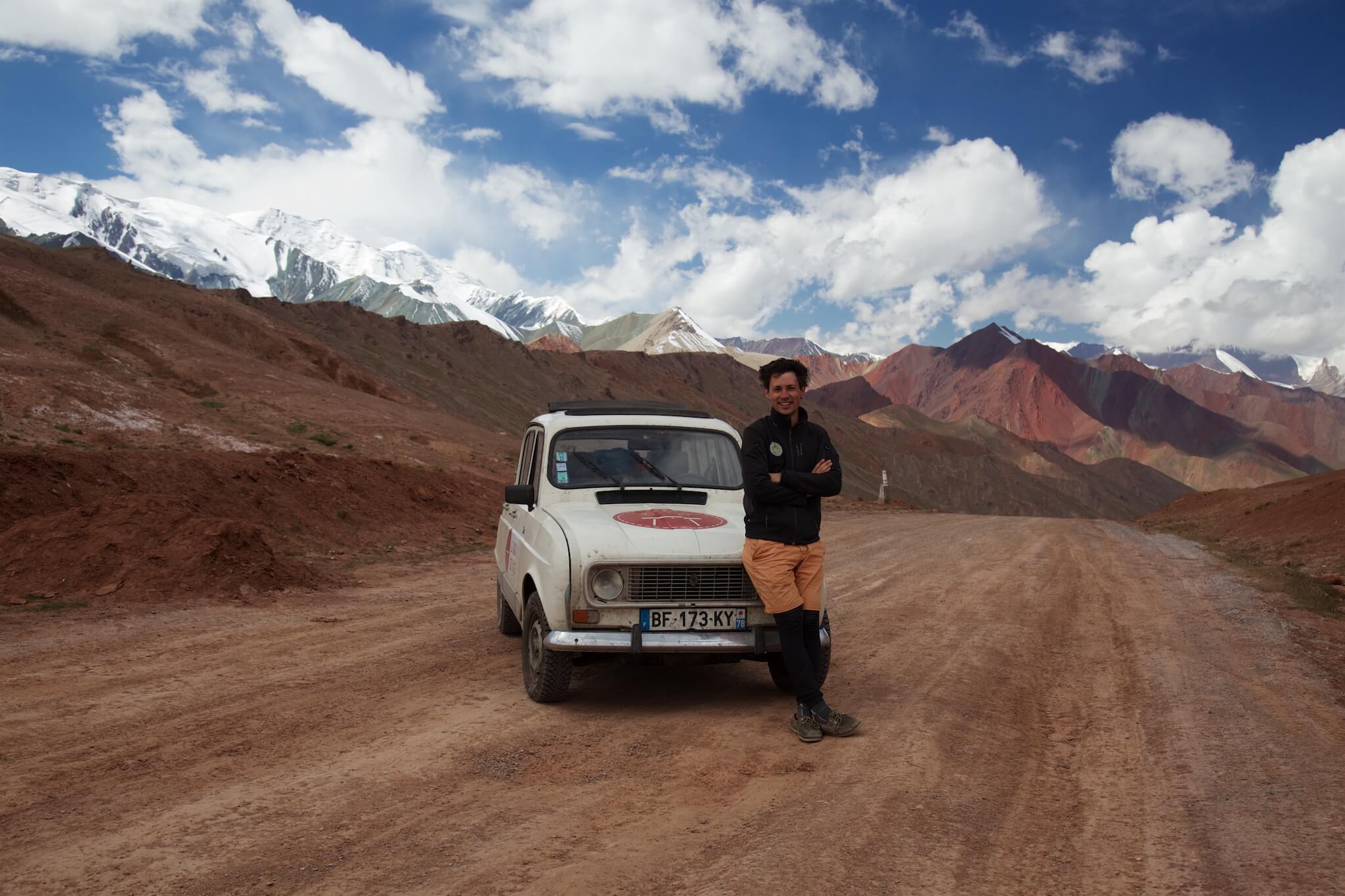
It’s on the second attempt that we’ll overcome the pass, at the bottom of the first. Louis-Hubert d’Harambure
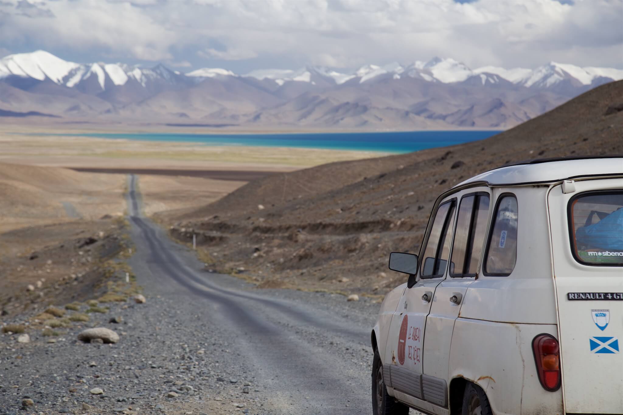
We reach Lake Karakul. Created by a meteorite impact 10 million years ago, it stands at 3,914 metres and claims the title of the world’s highest navigable lake, ahead of Lake Titicaca. Soon the road disappears behind the Ak-Baïtal – “white horse” – pass, at 4,655 metres. The mountain slopes are sublimated by the clouds which, in a steady sweep, obscure their ochre hue. Upper Badakhshan, Tajikistan.
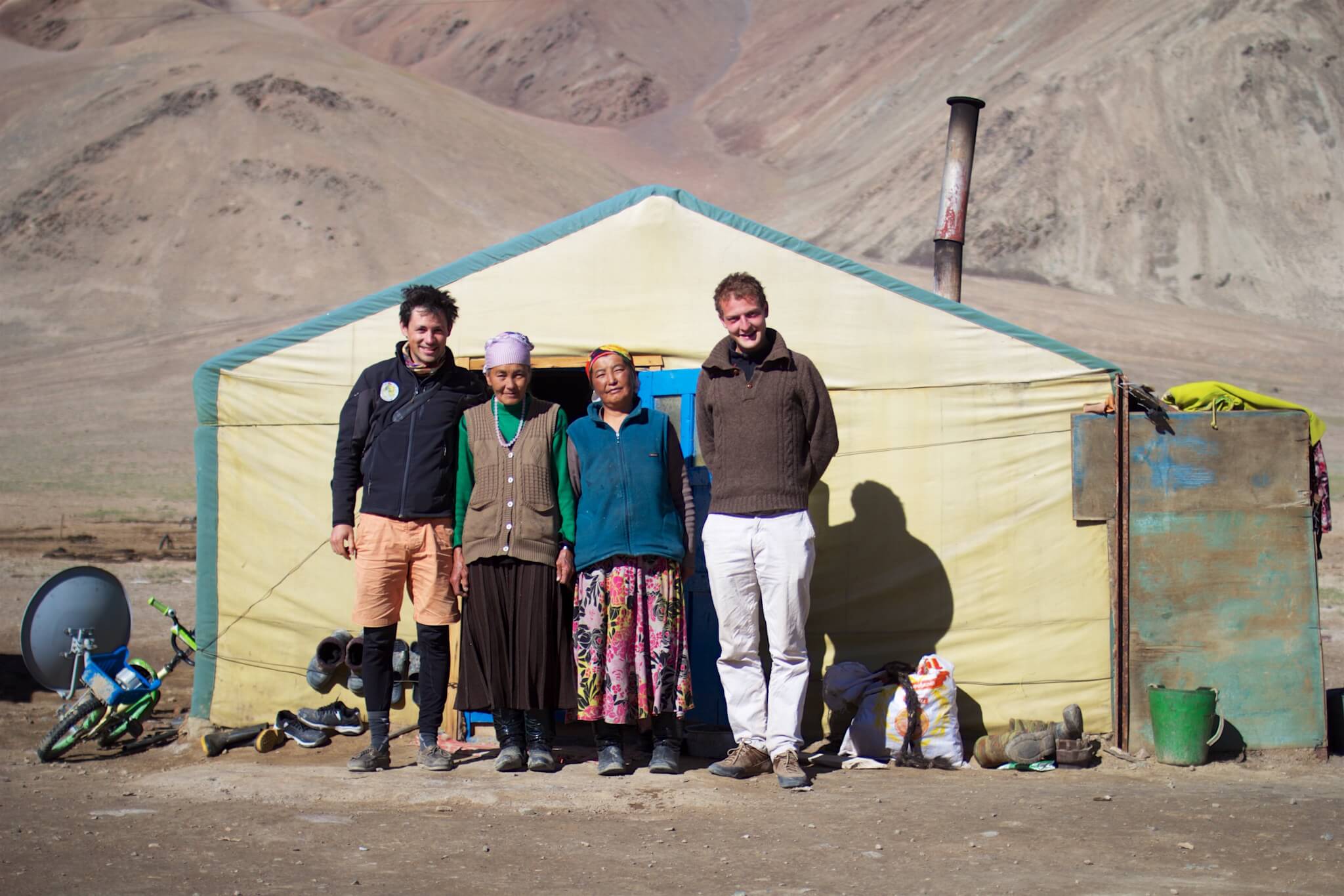
Our hosts are Kyrgyz shepherds, like most of the inhabitants of eastern Tajikistan. Upper Badakhshan, Tajikistan. © Louis-Hubert d’Harambure
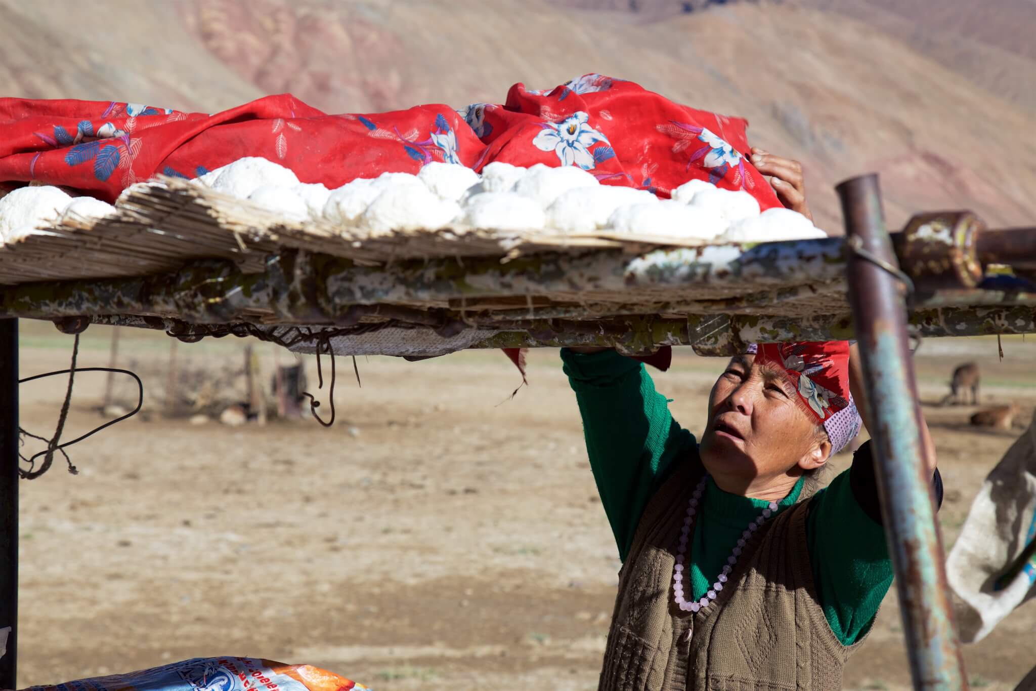
When we wake up, Salamate hastens to serve us “kurut”, a small ball of dried curd with a distinctive flavor. Upper Badakhshan, Tajikistan.
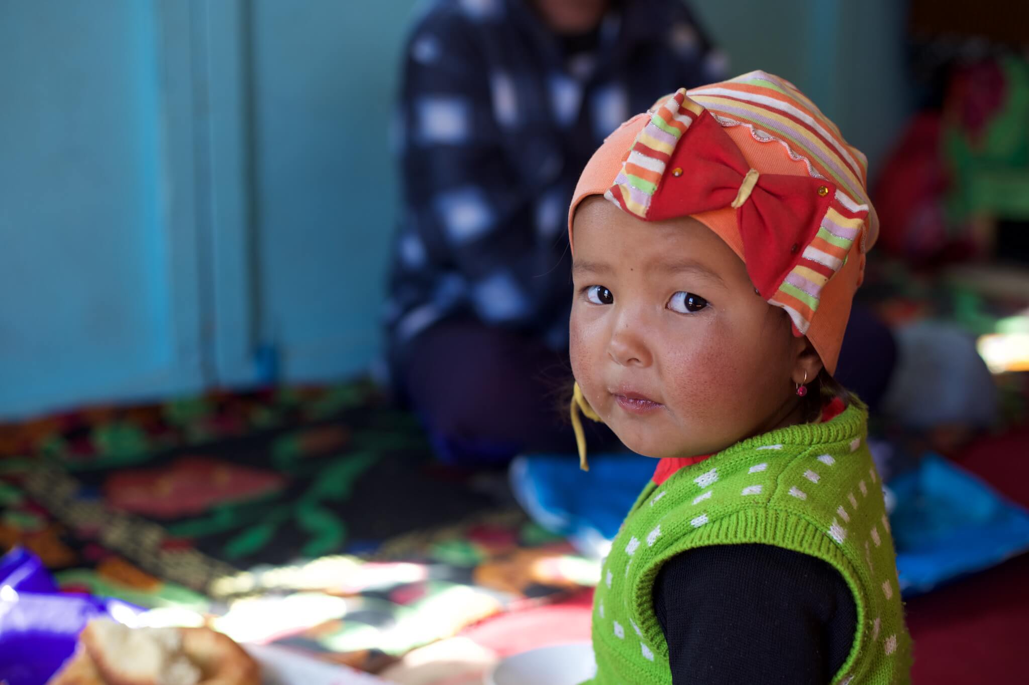
In the yurt, warmed by the stove, our notions of Russian allow us to exchange a few words. The car and the photos of our families arouse our curiosity and are just one of the ways we can forge links. Here, at an altitude of 4,800 metres, winter temperatures can drop to -40°C. Upper Badakhshan, Tajikistan.
We were warned in Bishkek, the capital of Kyrgyzstan, that the hospitality of Kyrgyz nomads is no myth. Upper Badakhshan, Tajikistan.
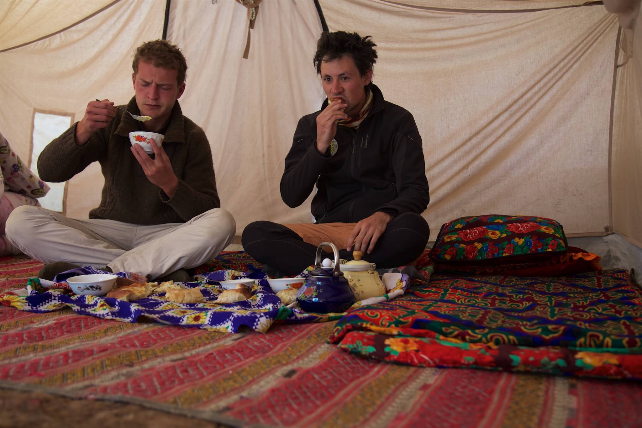
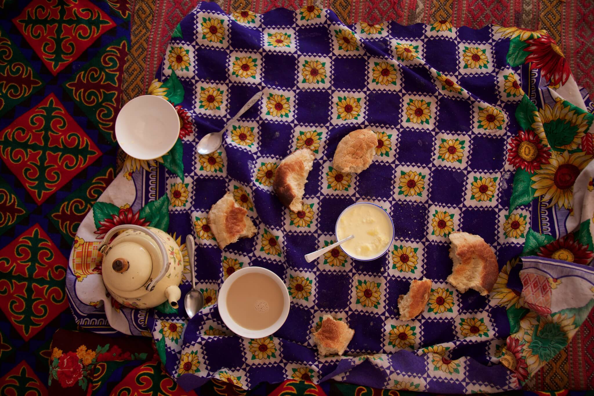
Kyrgyz shepherds live mainly from livestock. So it’s no surprise to find milk in all its forms at breakfast. Upper Badakhshan, Tajikistan.
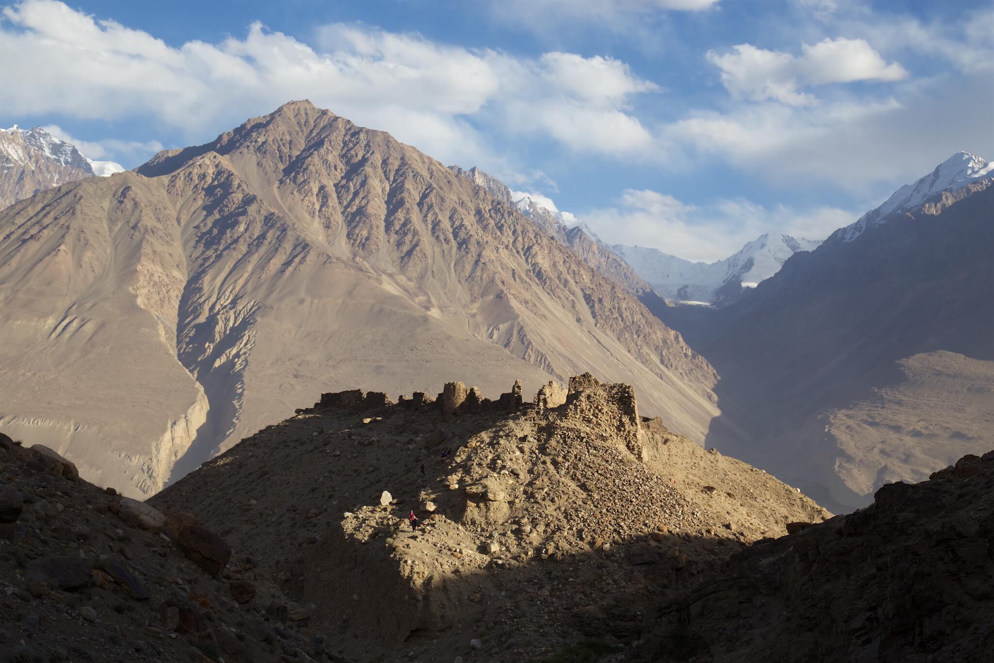
After a few days riding around Kyrgyzstan, I’m finally in the saddle! I’m like a kid, happy to be connected to the asphalt again. I’m taking a lot of photos, I’m not going very fast, but that doesn’t matter. I’m riding, I’m on the road, I’m heading for China.
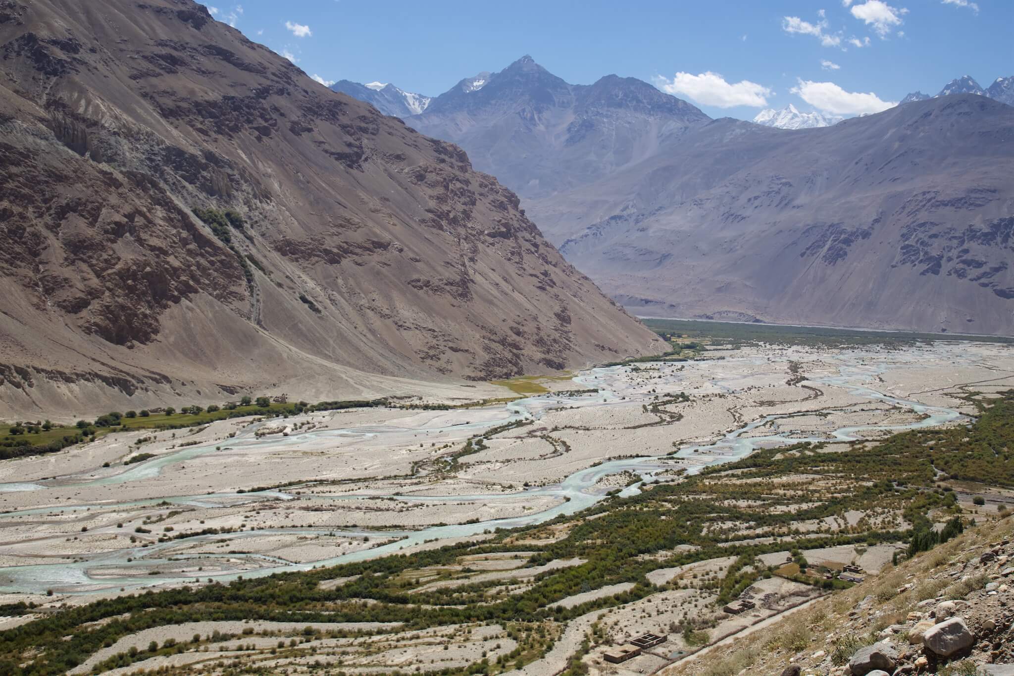
The rivalry between the British and Russian colonial empires in Asia in the 19th century is known as the “Great Game”. Afghanistan, a buffer country between the two empires, was the object of much covetousness. At the end of a tense period that some compare to the Cold War, the Russians and British gave Afghanistan the Wakhan corridor, which served as a barrier between the two giants. Following the Pyanj River, we pass through flower-filled villages and fields where the Wakhis, the inhabitants of the valley, work. On the other side of the river, you can observe Afghan farmers going about their business. Above them loom the peaks of the Hindu Kush range. Wakhan Valley, Tajikistan.
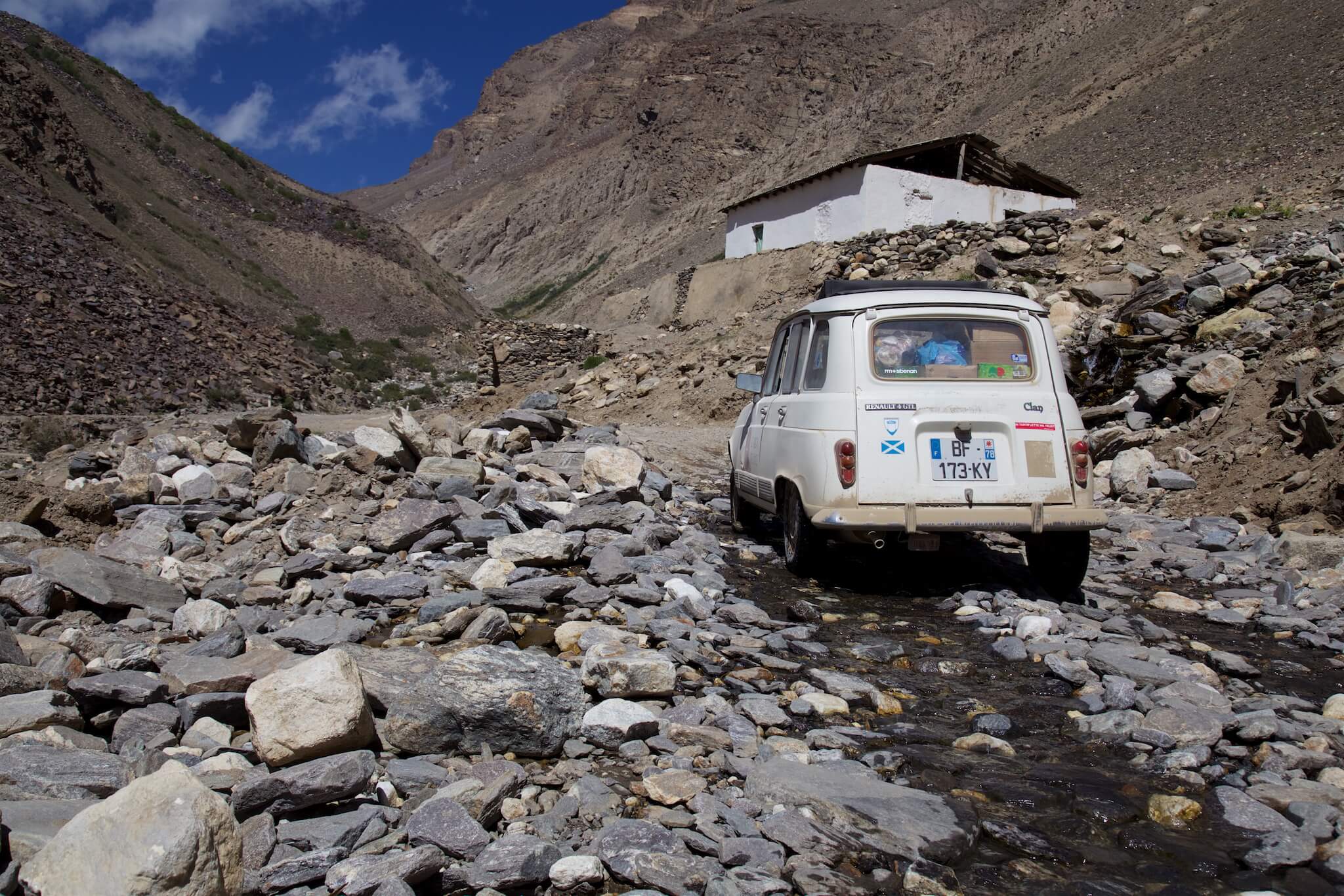
We regularly have to get out of the 4L and clear the runway to be able to move forward. The thin air at an altitude of 4,000 meters puts a strain on the small 34 hp engine. Upper Badakhshan, Tajikistan.
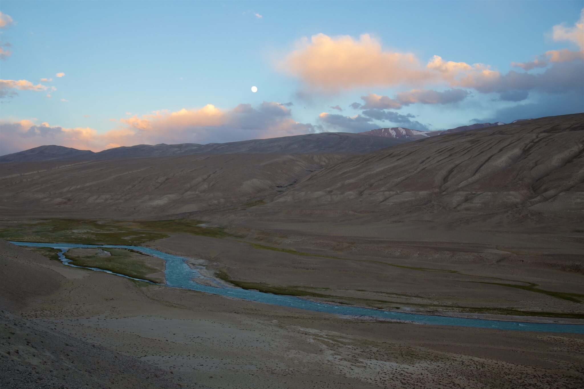
In the Wakhan valley, the Pamir and Wakhan rivers join to form the Pyanj, which we follow for 400 km. Tajikistan on the left, Afghanistan on the right.
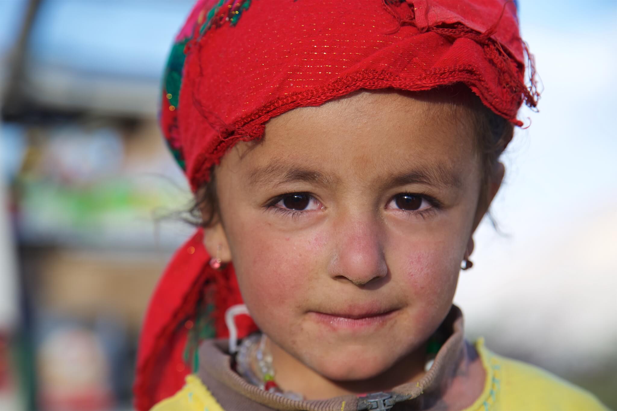
Young Tajik girl in the Wakhan Valley, Tajikistan.
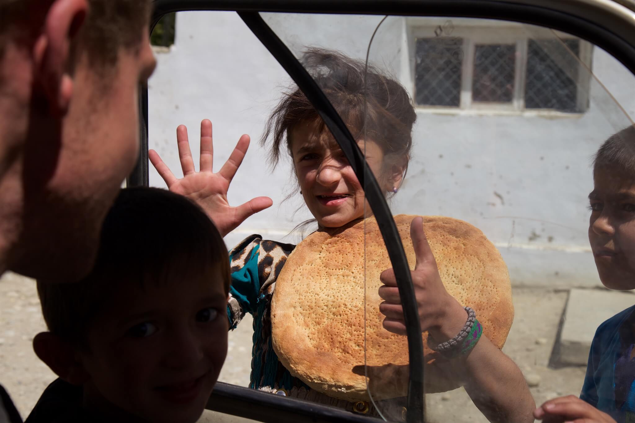
Along the Afghan border in the Wakhan valley, the villages are very isolated. Opportunities to buy bread are few and far between. Wakhan Valley, Tajikistan.
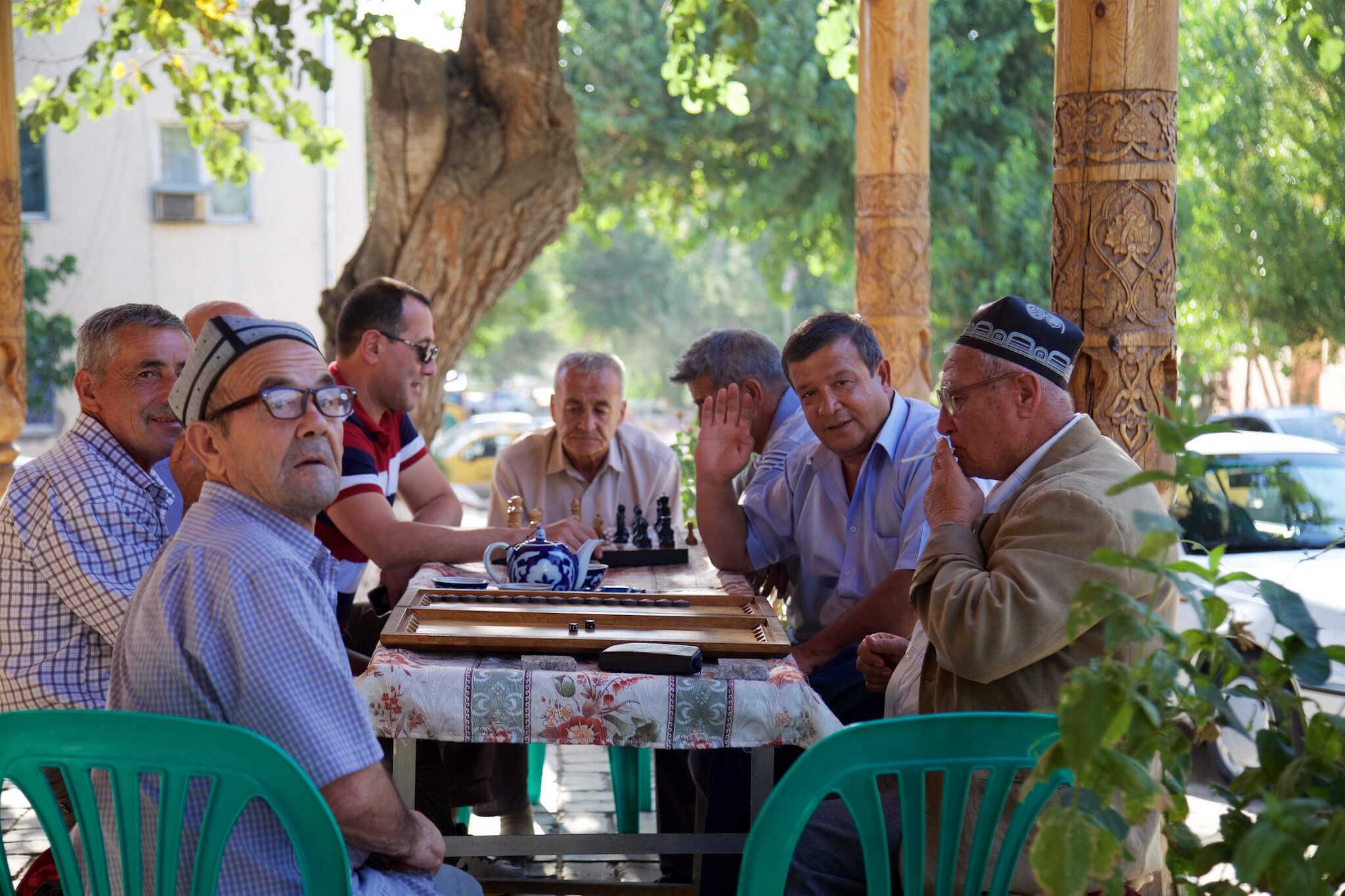
Chess game on a street corner in Samarkand, Uzbekistan.
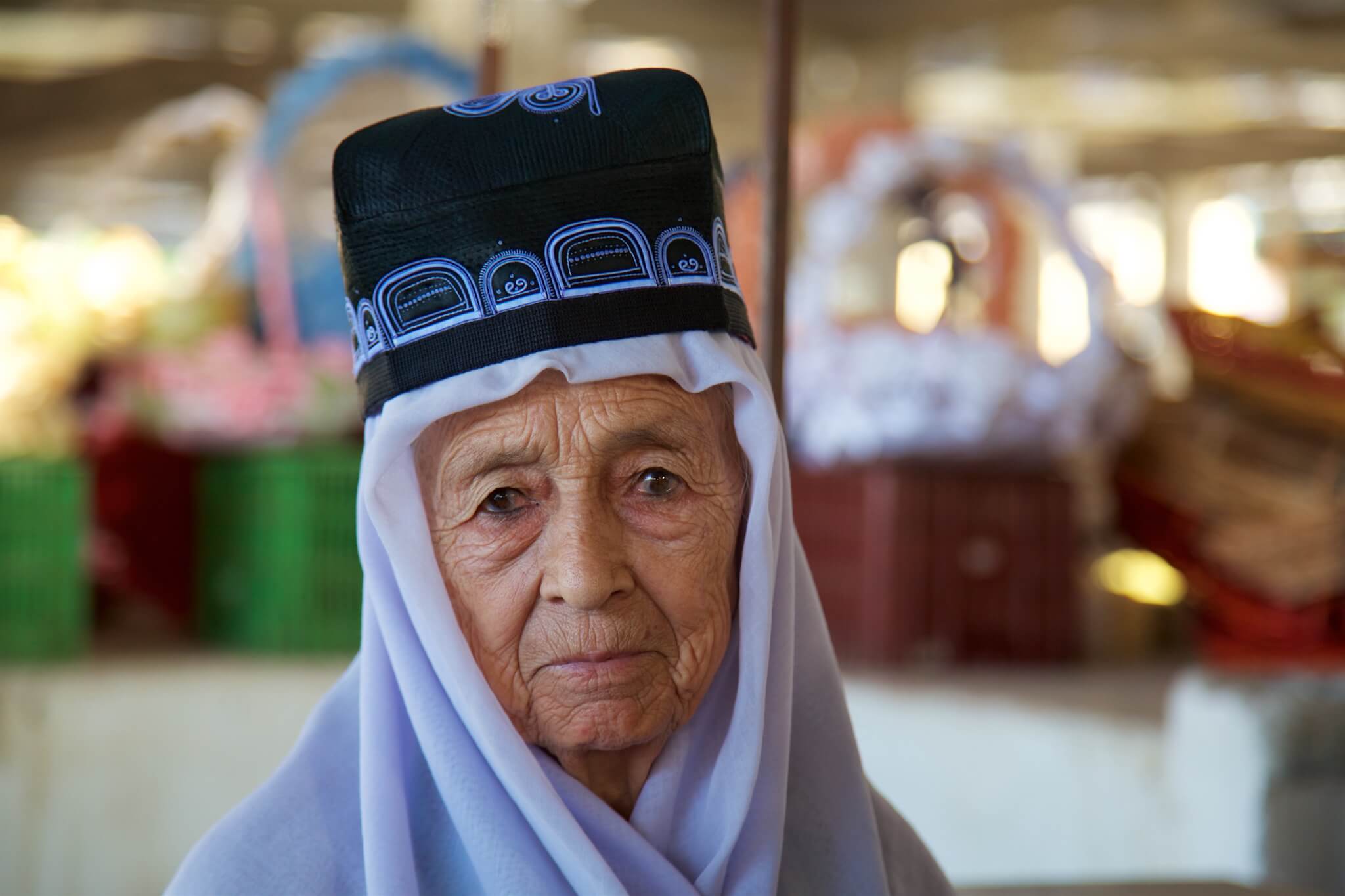
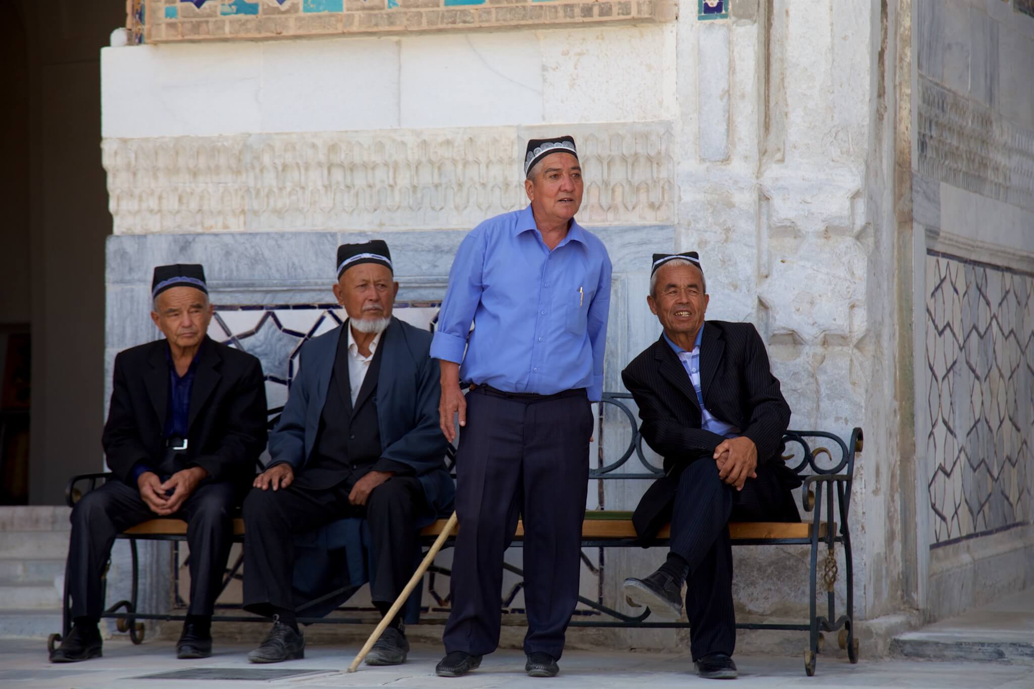
Known as “duppi” or “kalpoq the Uzbek skullcap is an integral part of traditional costume. Samarkand bazaar, Uzbekistan.
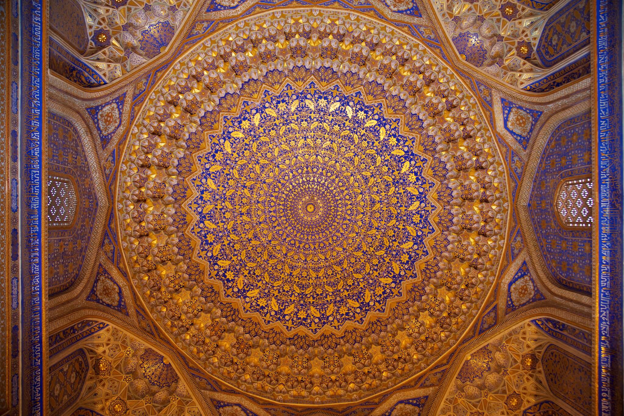
At the crossroads of the Silk Road, Samarkand is rich in mosques with ceramic-covered domes, Persian-architecture medersas and crowded bazaars. Registan, Samarkand, Uzbekistan.

The ancient heart of Samarkand, Registan means “sandy square” in Persian. Samarkand, Uzbekistan.
Tilla-Qari Medersa, Registan. Samarkand, Uzbekistan.
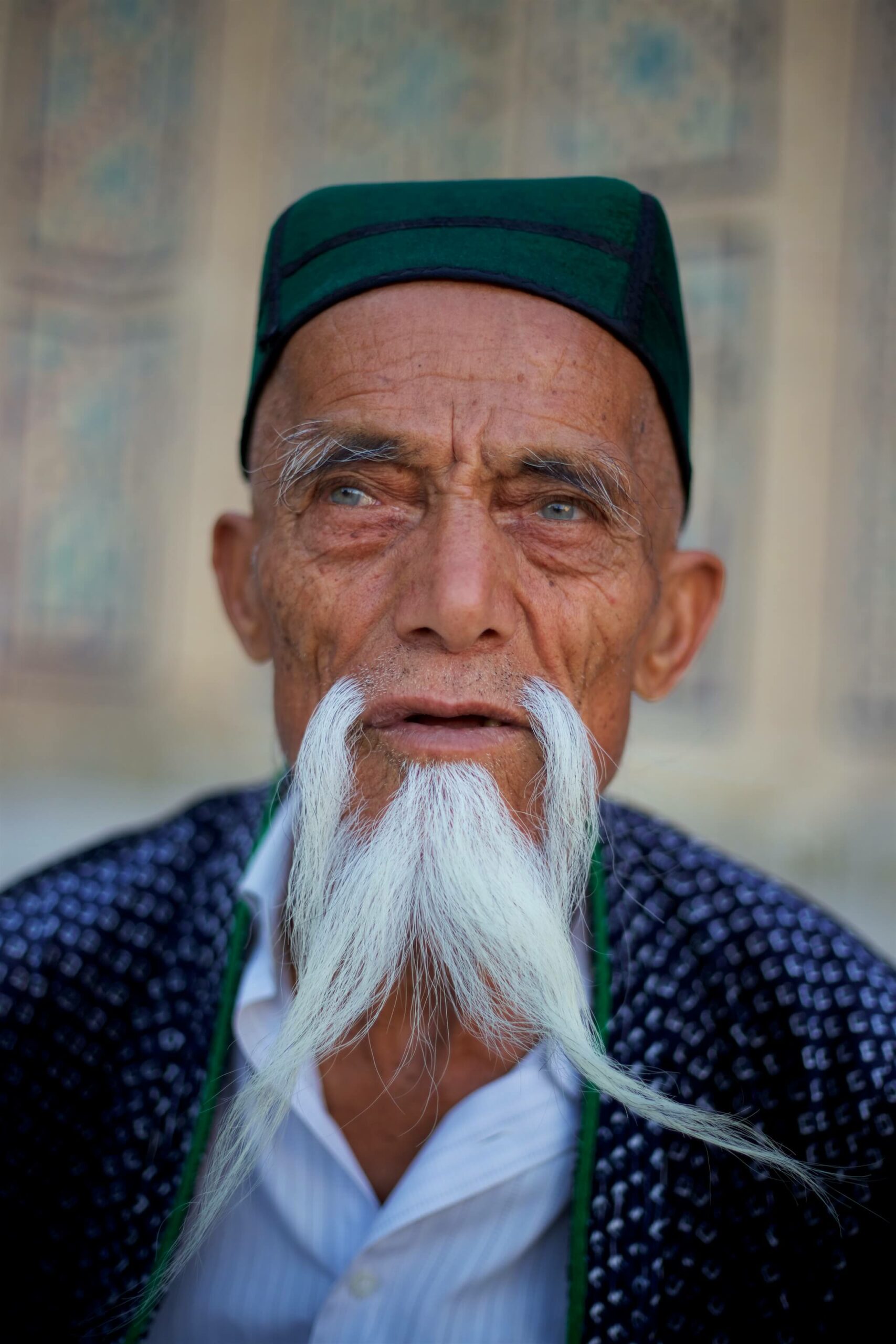
The aksakal. Literally “white beard” refers metaphorically to the oldest and wisest man in the community in some parts of Central Asia. Bukhara, Uzbekistan.