PACKRAFTING THE VJOSA RIVER
Europe’s last wild river
In Europe today, all rivers are exploited: hydroelectric power stations, dams, riverbank development, detour of the flow… Only one river has remained in its wild state. It’s called the Vjosa. It rises in Greece, flows through Albania and empties into the Mediterranean Sea.
In March 2023, thanks to the hard work of several local and international NGOs, as well as the Patagonia brand, the Vjosa was granted national park status, protecting the valley and its biodiversity.
With Ingrid, a specialist in wildlife and biodiversity, we set off in a packraft down the river from its source to its mouth. 300 kilometers on our small inflatable boats for a wilderness adventure, following the rapids and currents.
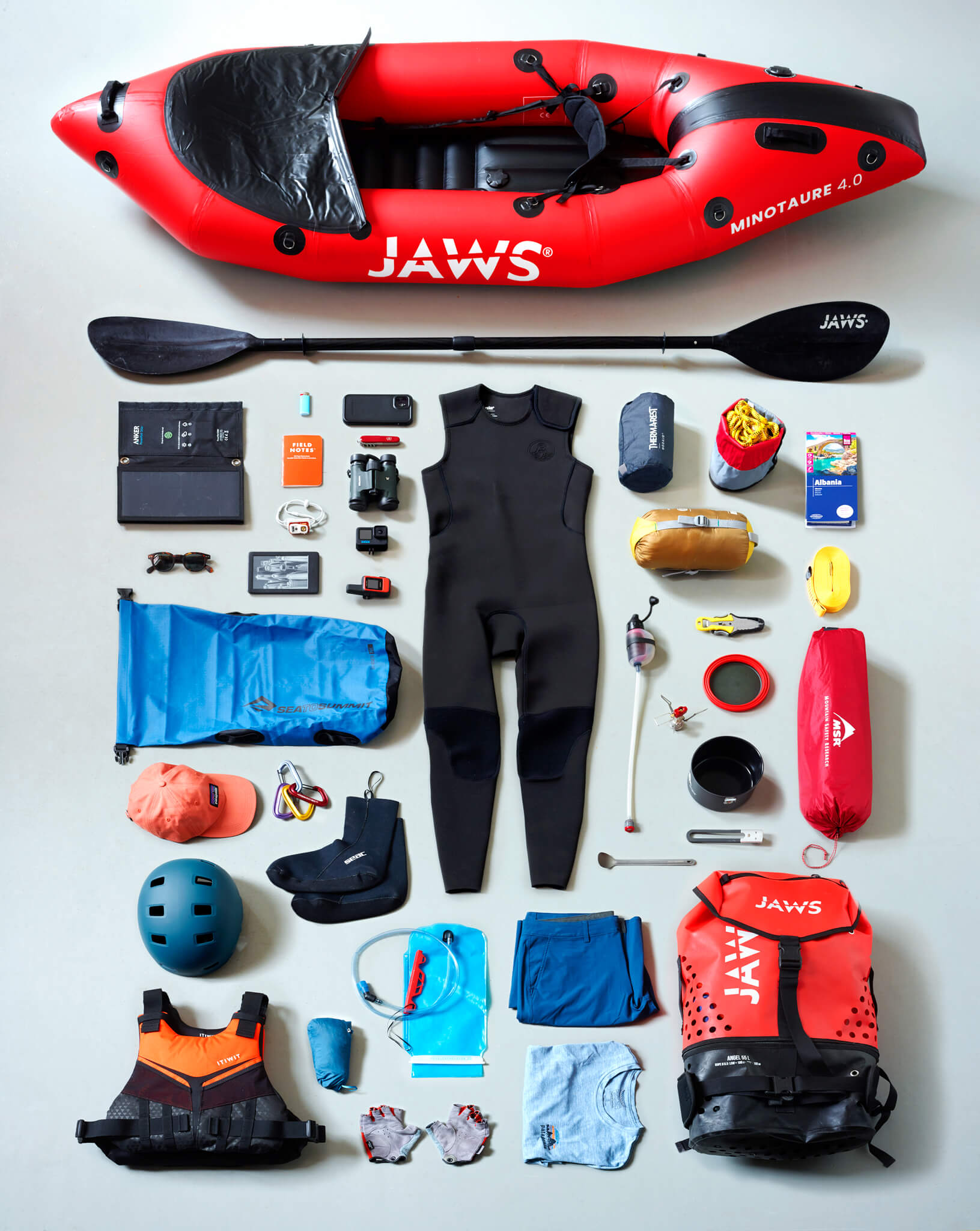
Expedition equipment. We’ll be walking, sailing and camping all at the same time. All our equipment must be light and kept dry in waterproof bags. Christophe Bouquet
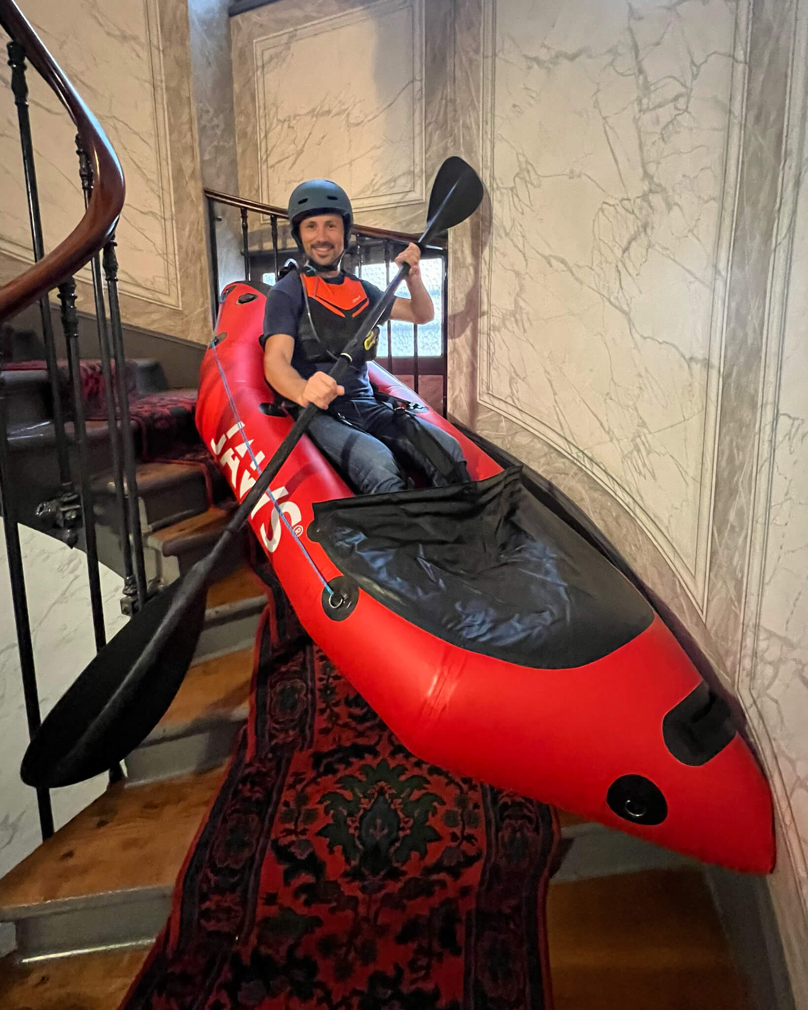
Departure from Paris. For this adventure, we’ve chosen to reach the river without taking a plane. We’ll reach southern Italy by train, then take a ferry to Greece and finally a bus to reach the source of the Vjosa.
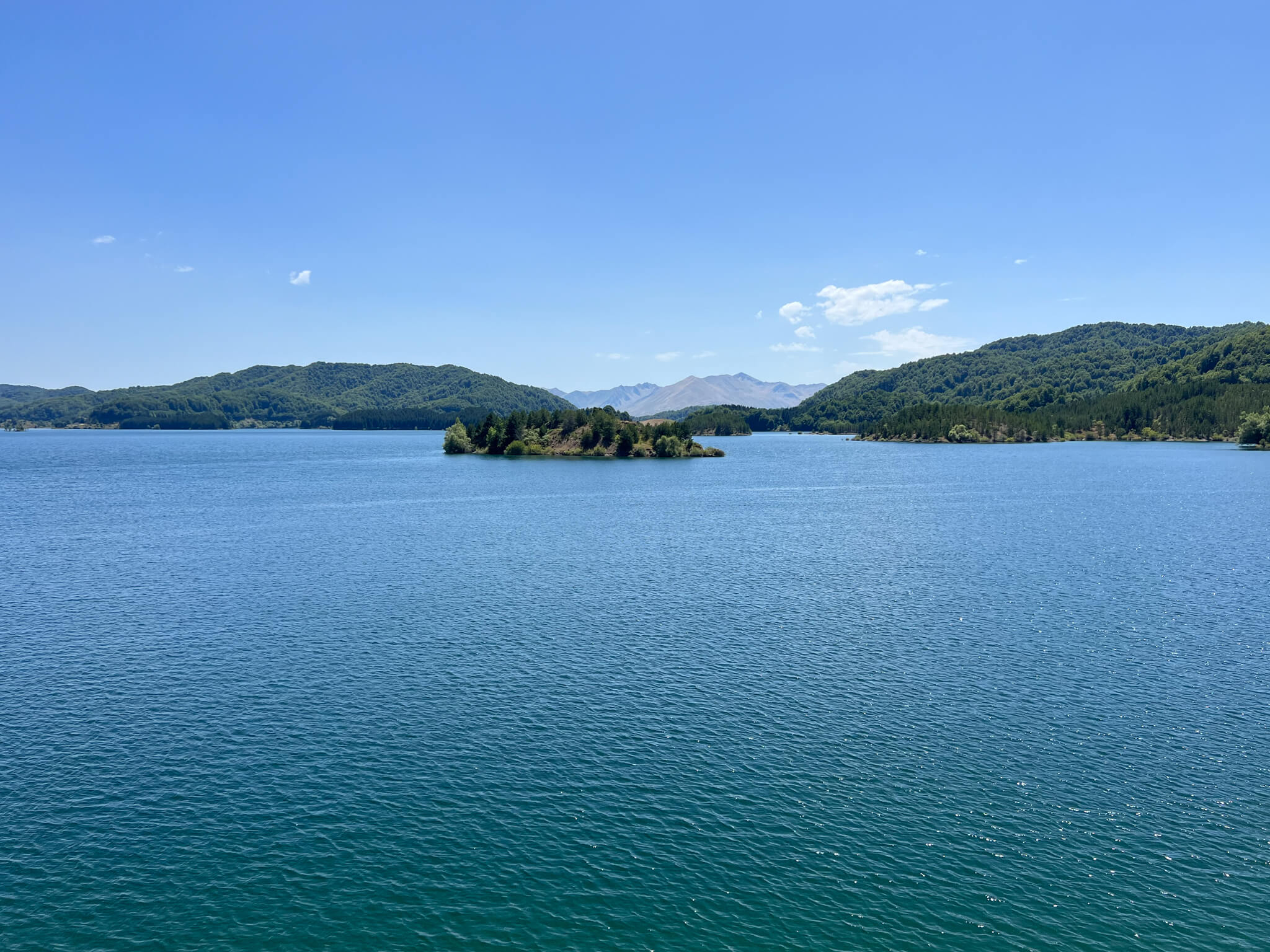
Welcome to Lake Techniti Limni Aoou, in Epirus, Greece, some twenty kilometers north of the town of Metsovo. It’s an artificial water reserve upstream of the Vjosa springs.
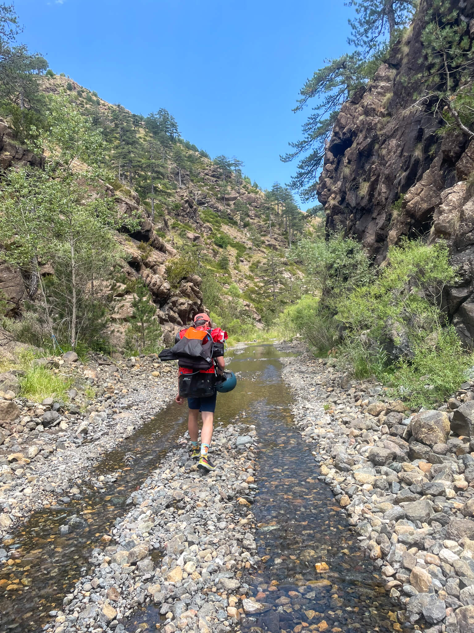
We find the source in the middle of the forest at an altitude of 1350 metres. Unsurprisingly, the river is not navigable in its present state. With our 25 kg packs on our backs, the walk is slow and we have to be patient before we can hope to launch the packrafts.
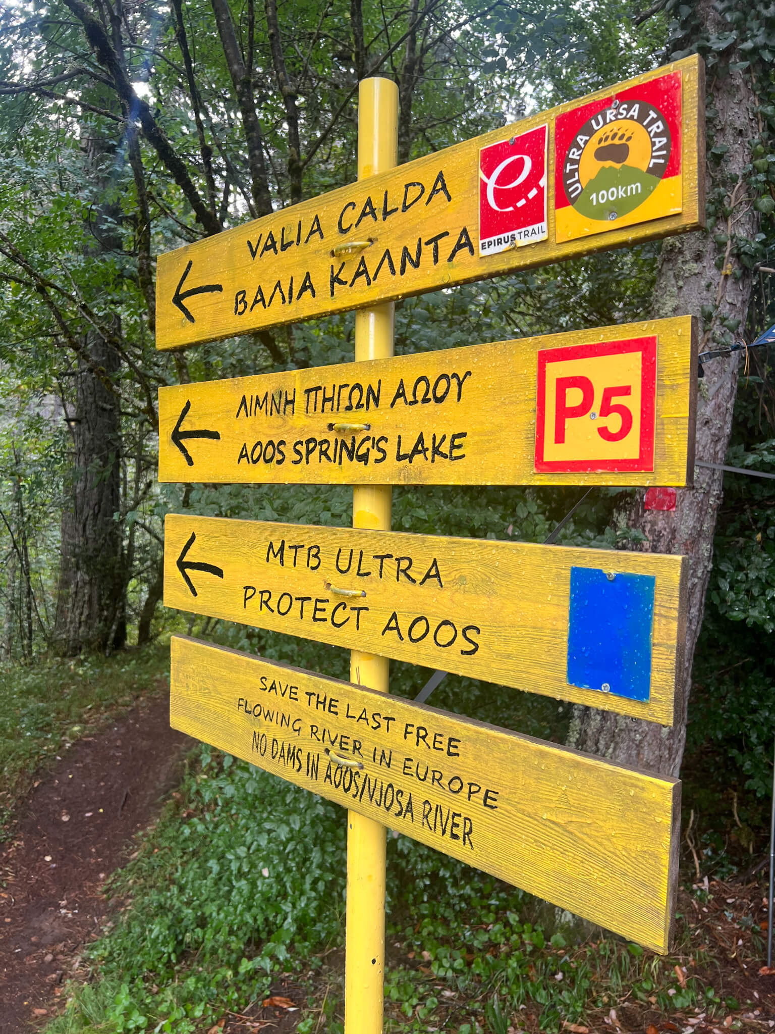
On the Greek part of our adventure, the river is called Aoos. A sign bears witness to a major lobbying campaign to protect the river.
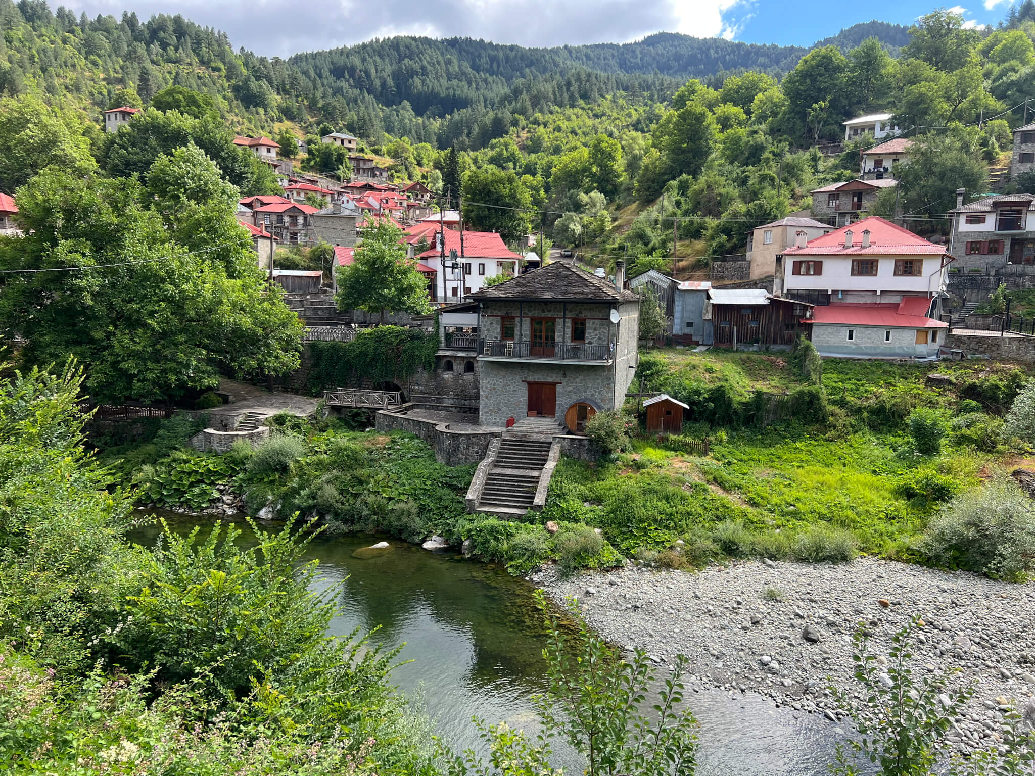
After about twenty kilometers on footpaths, we reach the small village of Vovousa. Here, the river is more consistent, but the level remains relatively low.
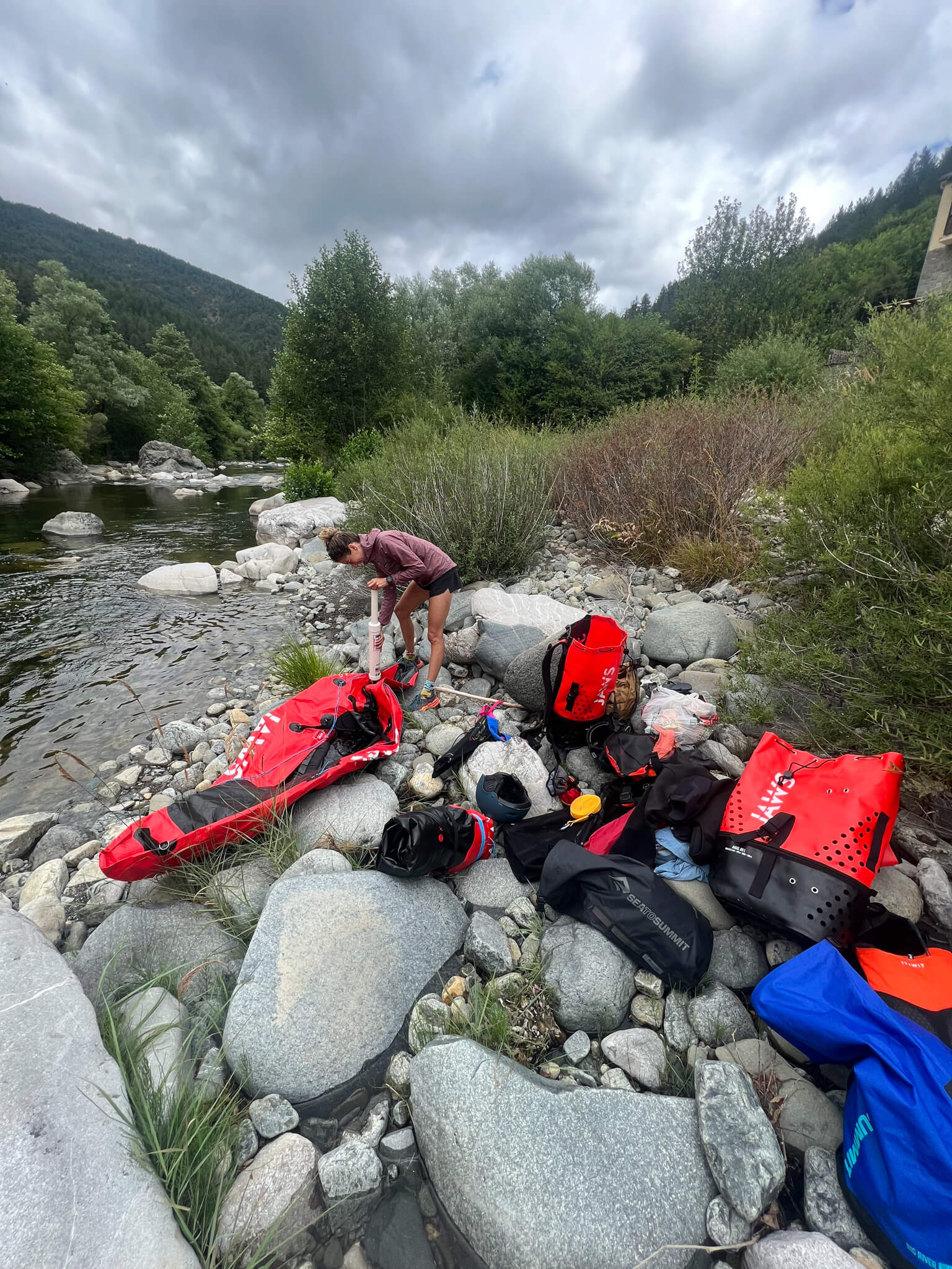
This is where we decide to try our hand at sailing. The transition from hiking to sailing requires us to unpack everything, inflate our packrafts and don a drysuit.
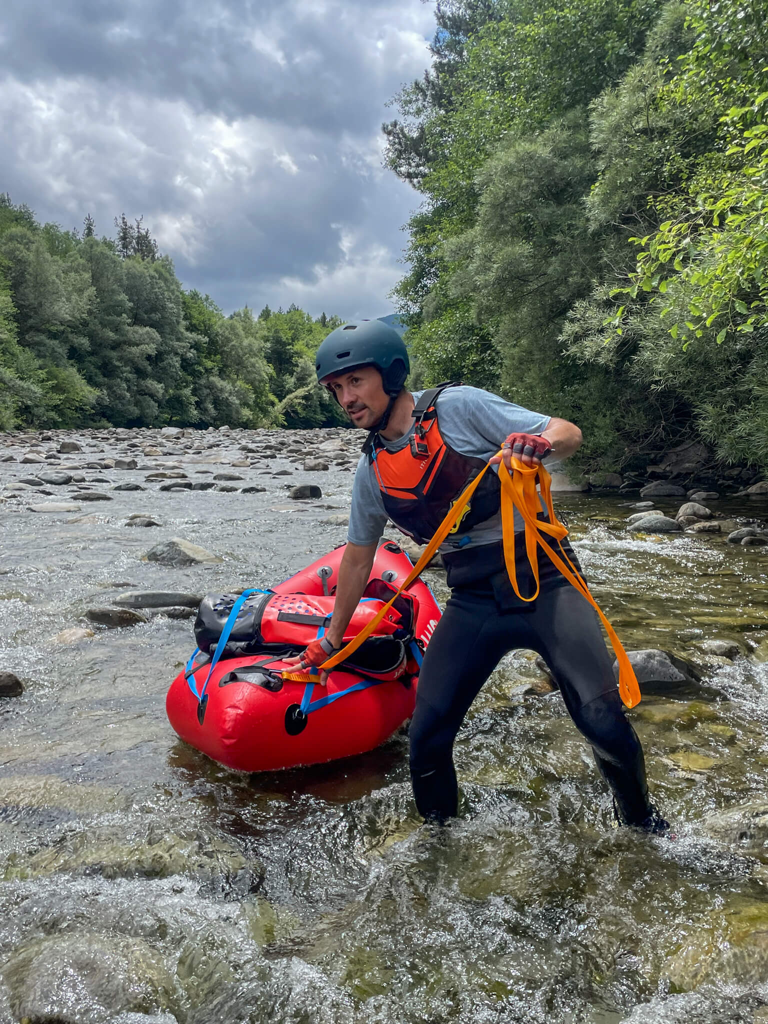
With a lanyard in hand, we walk down the riverbed. We’re not really sailing yet, but it’s a relief to float our load, rather than carry it on our backs.
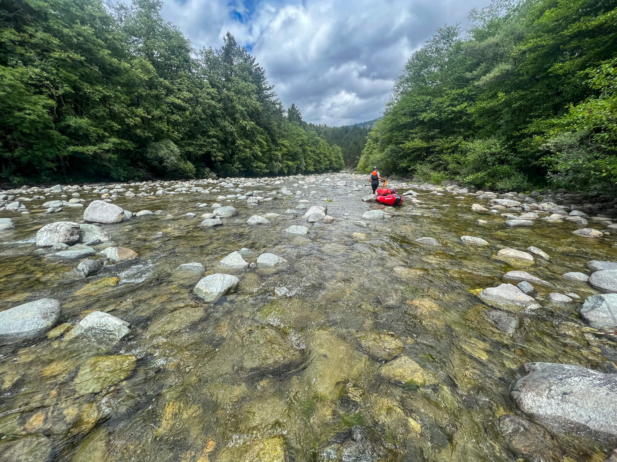
The river is cluttered with an immense quantity of rocks. Some block our path, others are flush with the water and the packraft stops instantly on contact. Impossible to manoeuvre in these conditions, we have to walk and pull our boats.
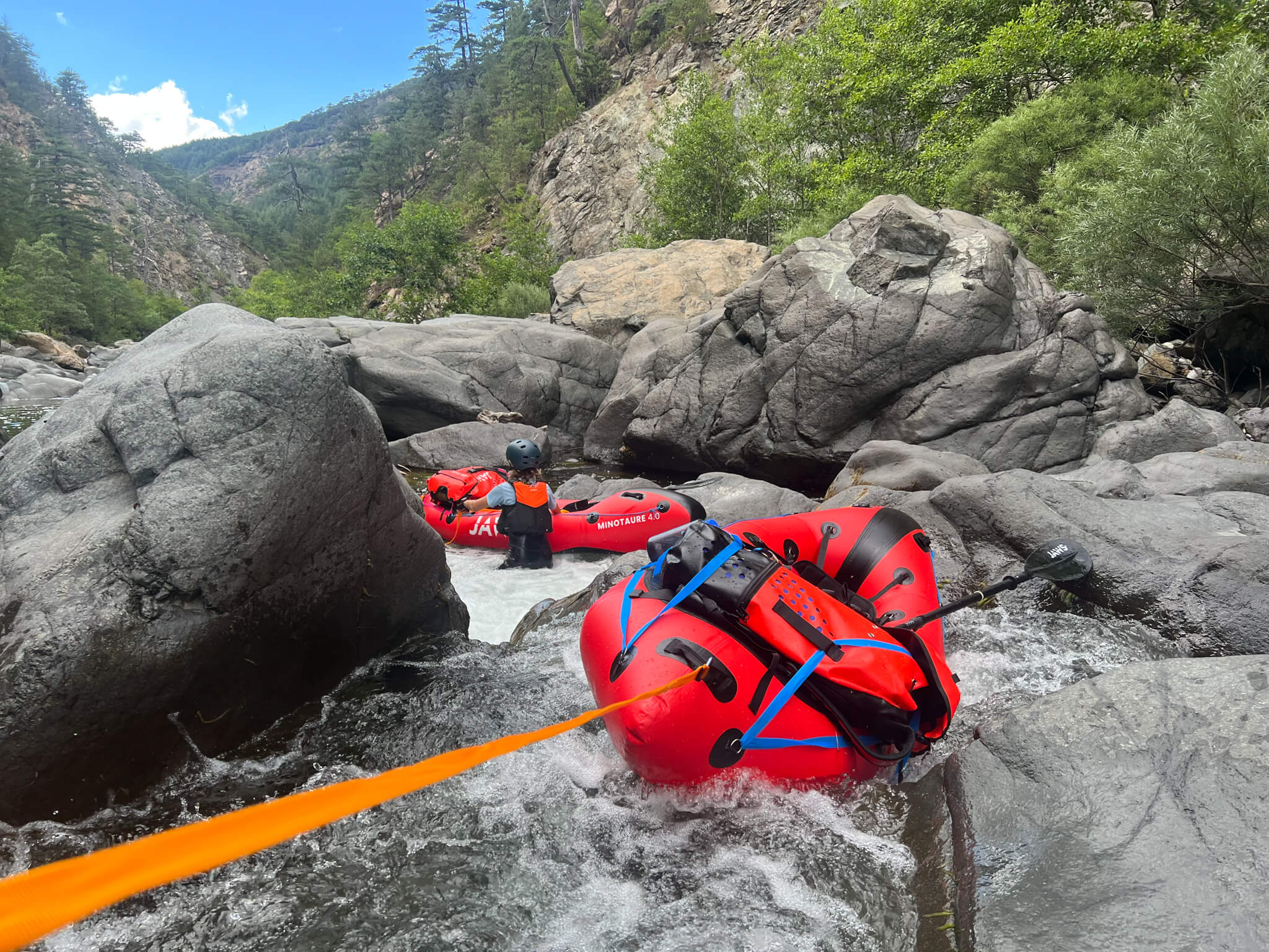
The river winds its way through a small canyon. As it narrows, the water flow accelerates and we have to proceed slowly, accompanying the packrafts in the current.
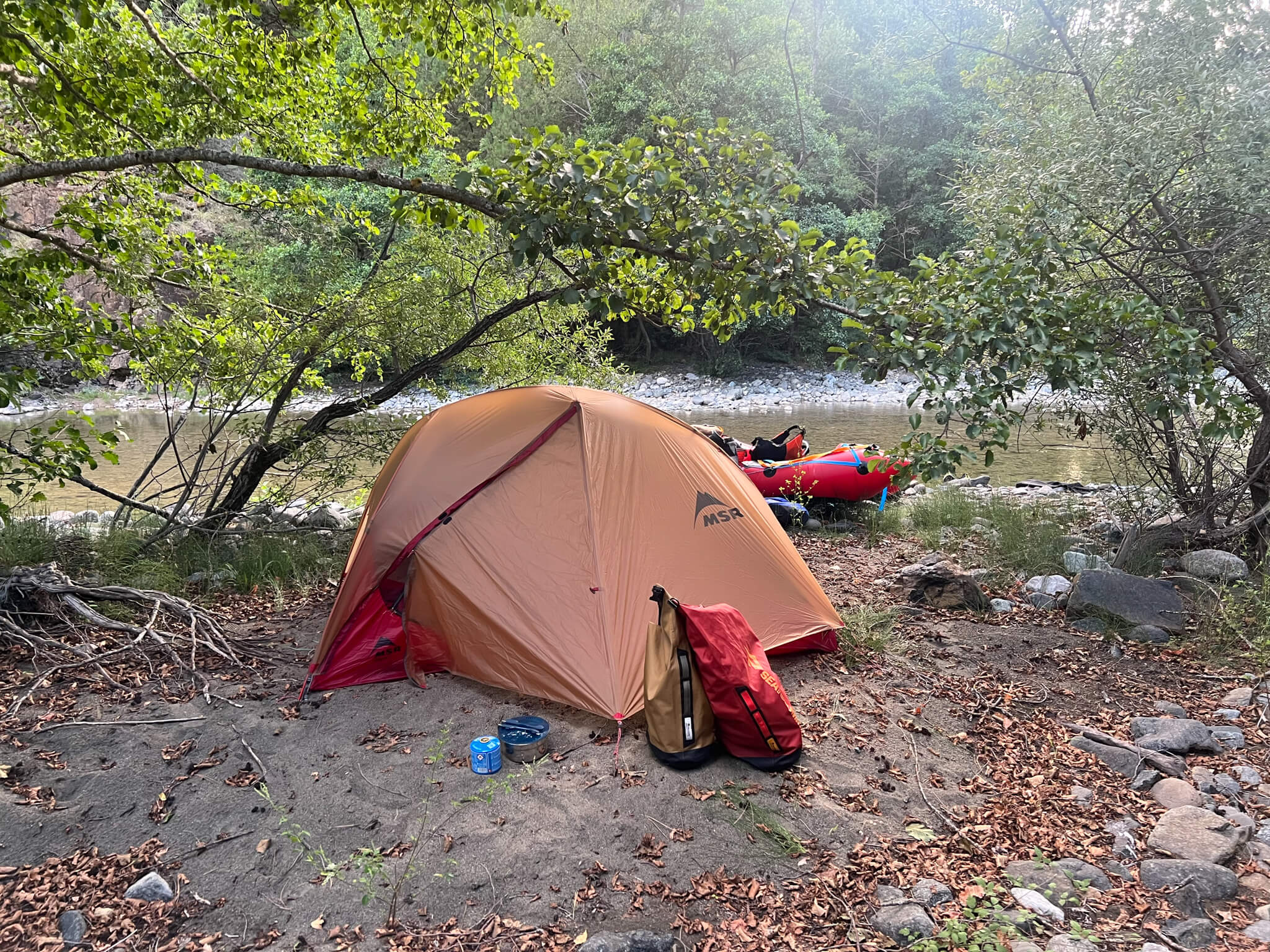
Camp on the banks of the river. We take with us everything we need for the expedition: tent, ground sheet, sleeping bag, stove… This first part of the adventure is fairly isolated, and we are self-sufficient in food.
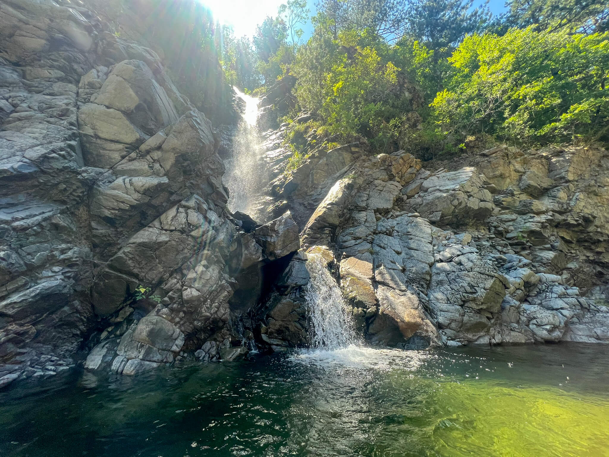
Very small streams feed the Aoos and sometimes form beautiful waterfalls.
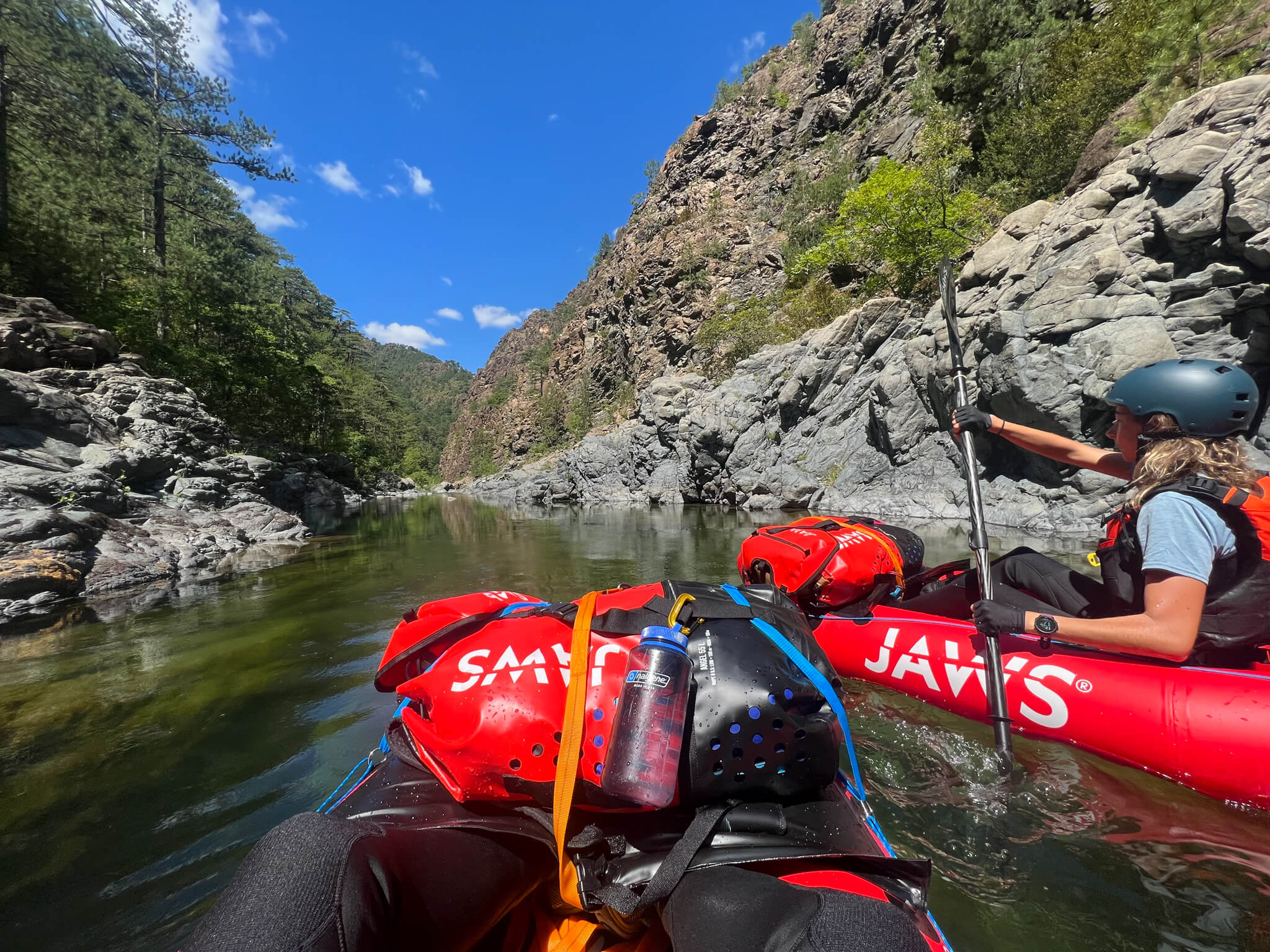
On certain sections, the river becomes truly navigable. We enjoy these moments of peaceful navigation, knowing full well that what awaits us downstream is sure to be more sporting.
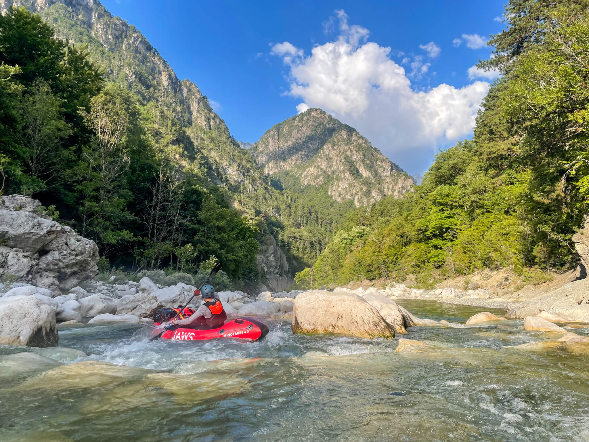
We follow the meandering river. It becomes more powerful and the navigation more committed.
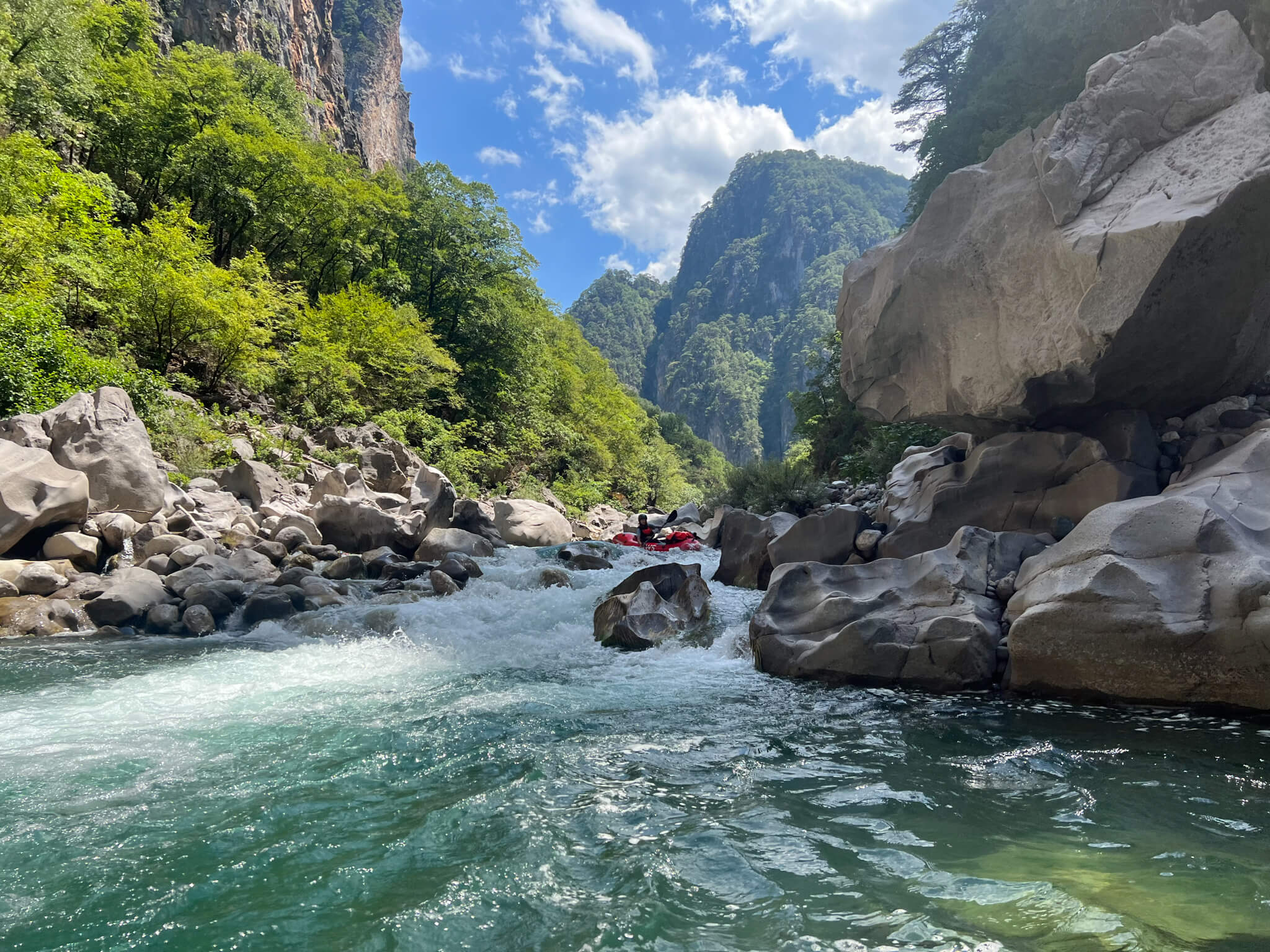
We’ve lost count of the rapids that almost capsize us and the rocks we have to navigate around.
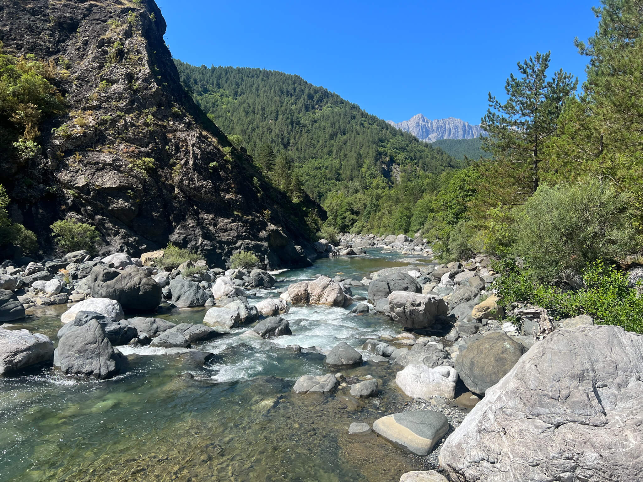
The sublime landscape is reminiscent of the great Canadian outdoors. The Aoos flows through a forested, mountainous area. Here, the river is deserted, inaccessible. There are no roads or trails leading to the riverbed.
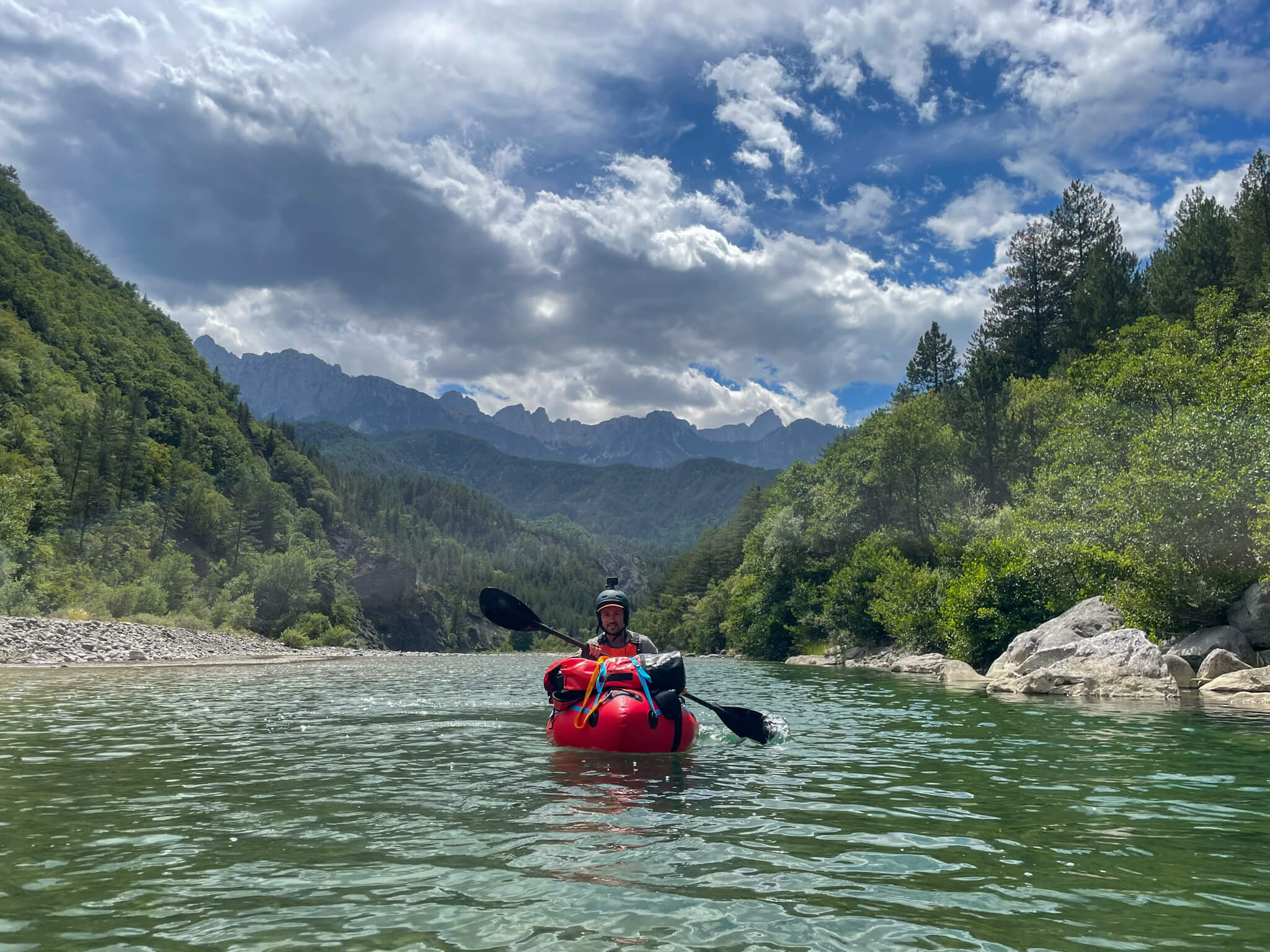
The river widens and deepens. We paddle with the joy of discovering this landscape silently, almost effortlessly.
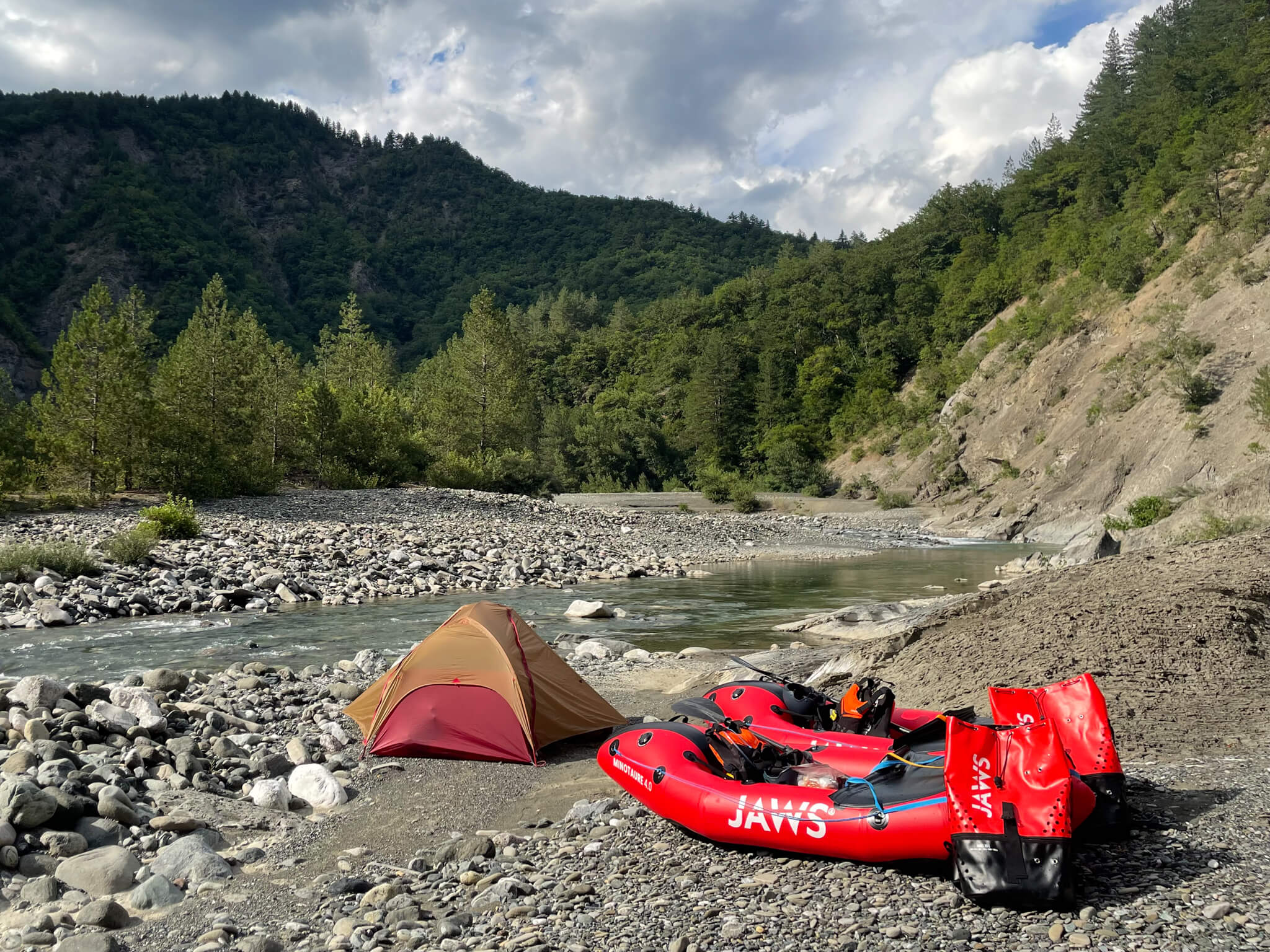
Bivouac on the beach. Alone.
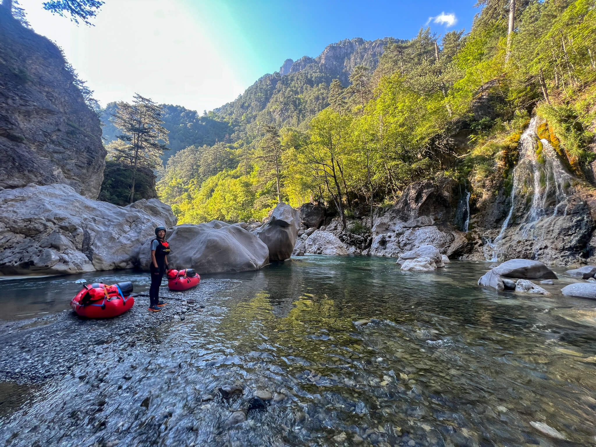
We enter a deep canyon. The mountain walls get closer and closer, blocking out the sun. In the morning, in the shade, the damp cold grips us.
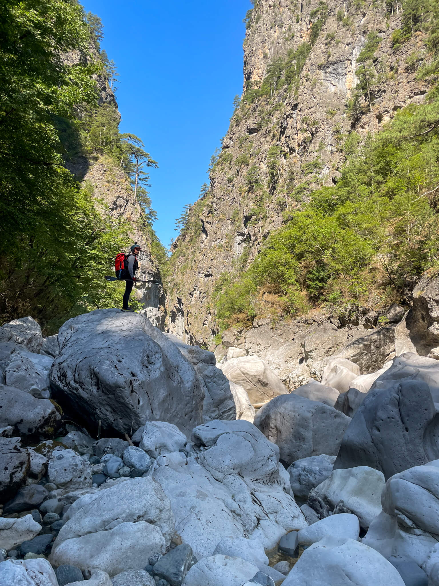
The river becomes more and more tortuous. Gigantic rocks block the way. Some create siphons we don’t want to see too closely. So we are forced to portage the packrafts past the boulders.
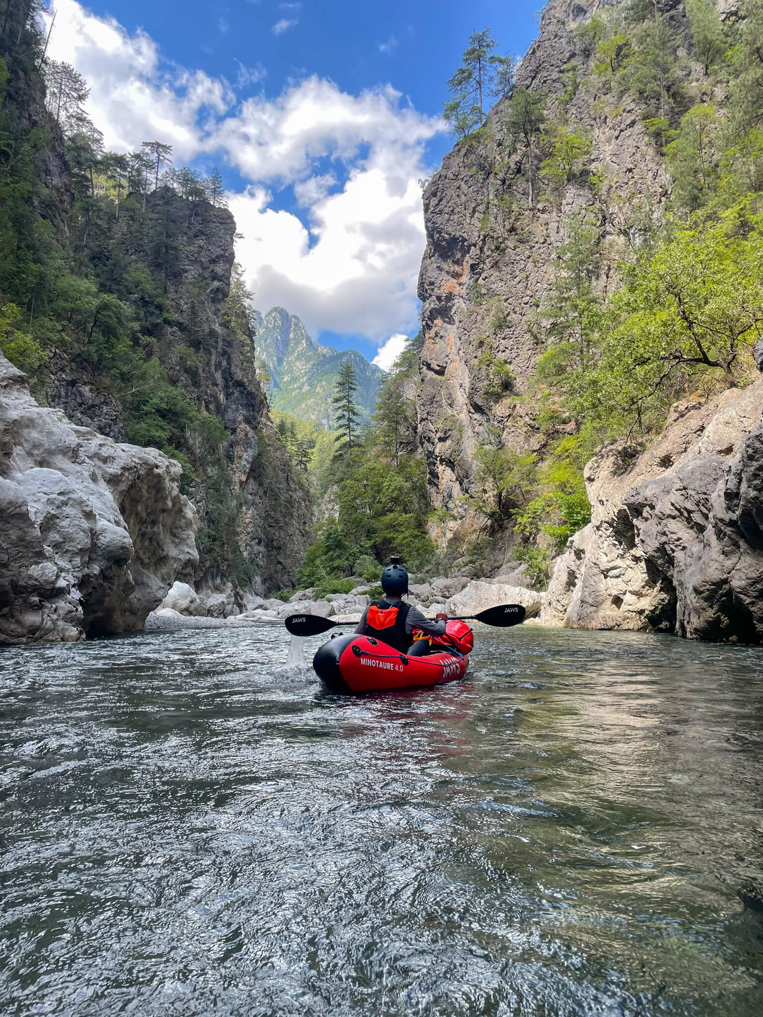
Behind the obstacle, the scenery is breathtaking.
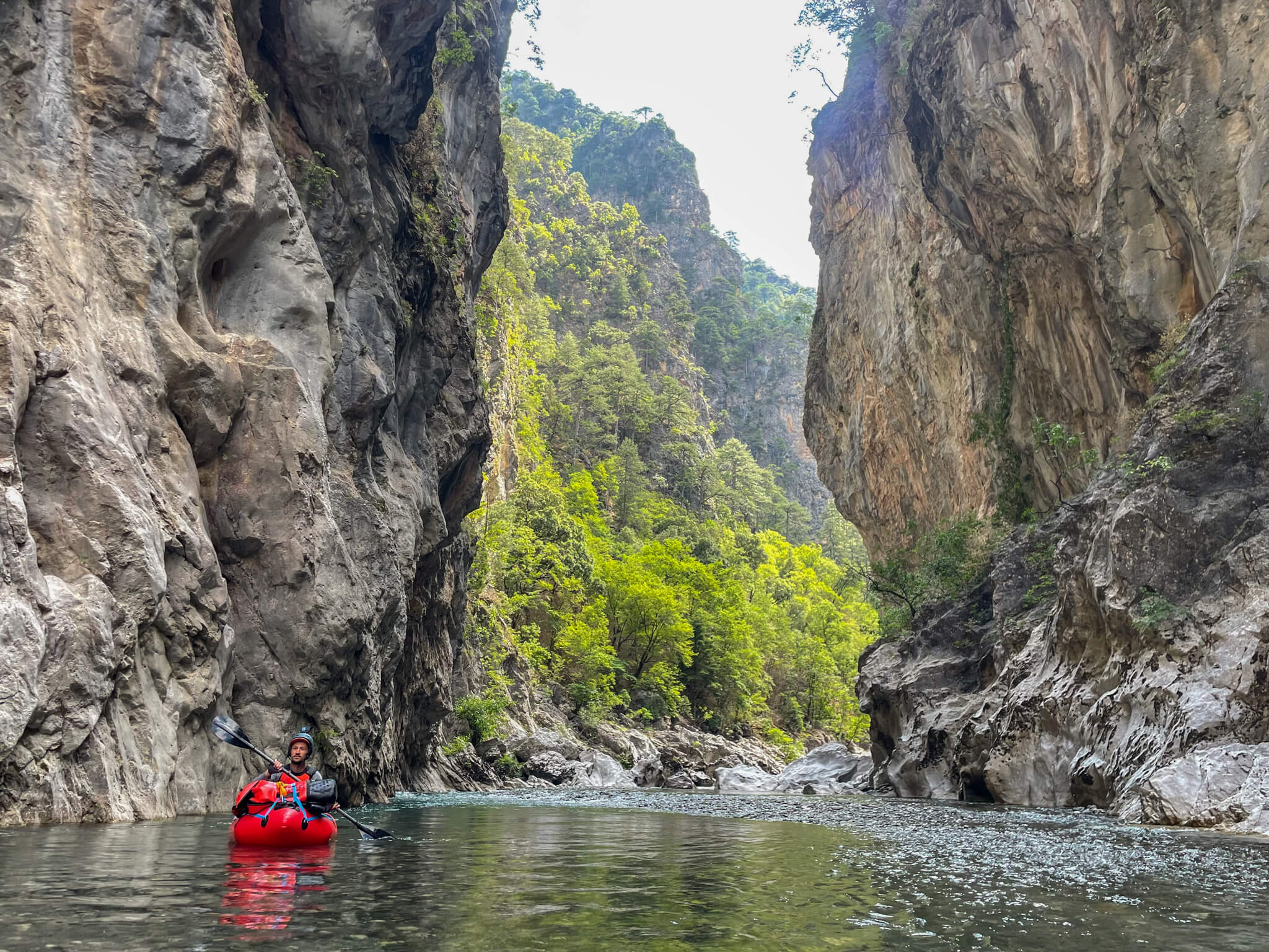
A huge gorge opens up. We feel privileged to be here. We’ve been on the river for several days now and haven’t seen a soul since we left.
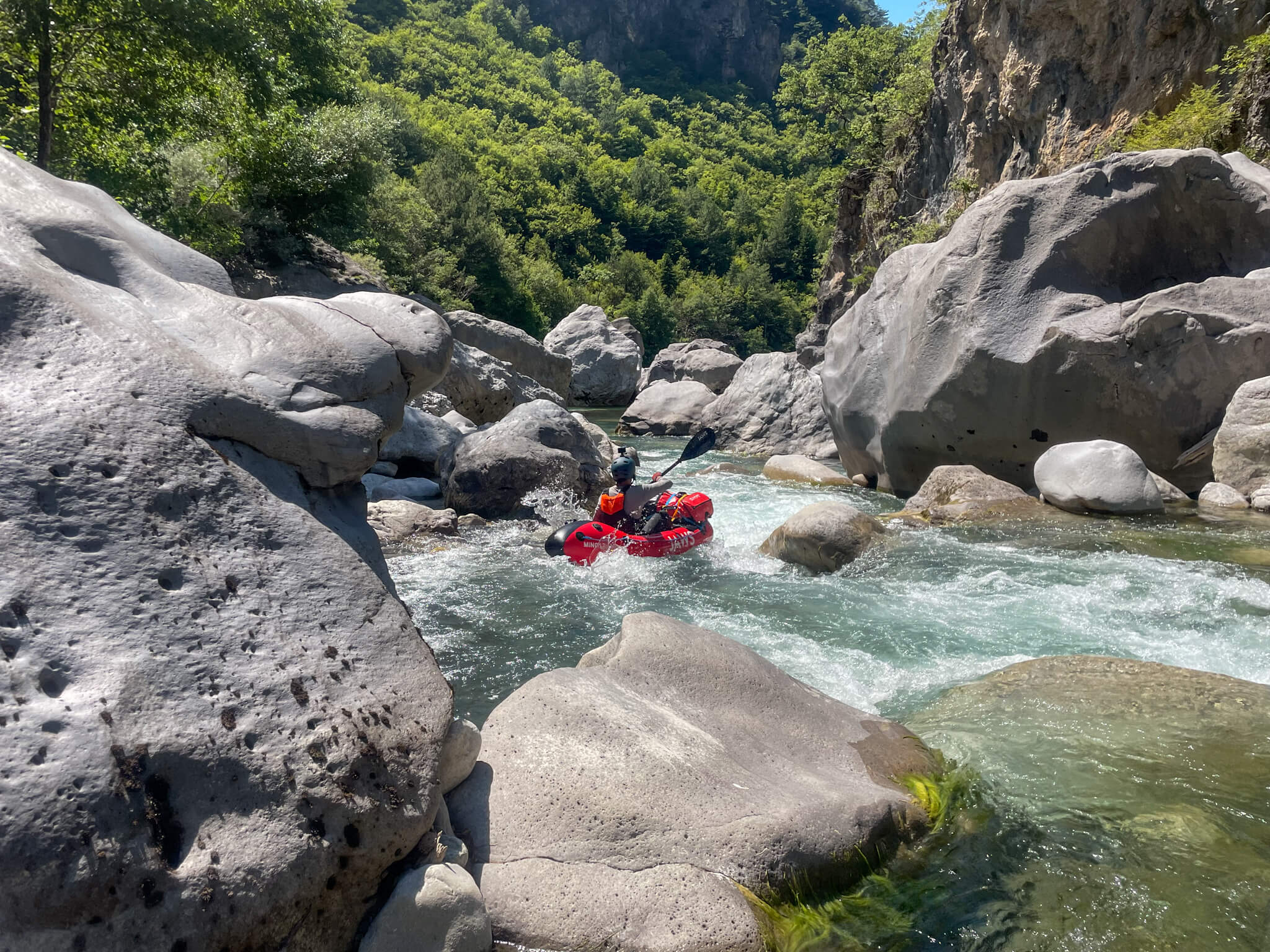
The river becomes technical, with many class III-IV rapids. We regularly have to scout the river on foot before committing ourselves. Every day, we cover about fifteen kilometers.
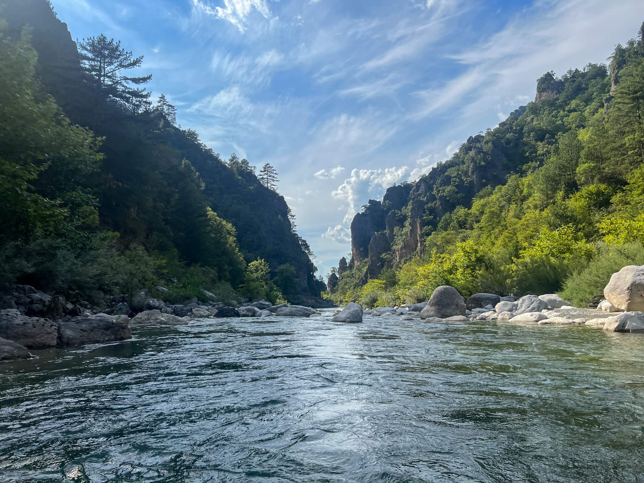
The river is full of surprises, with rocks, rapids and branches… It’s wild!
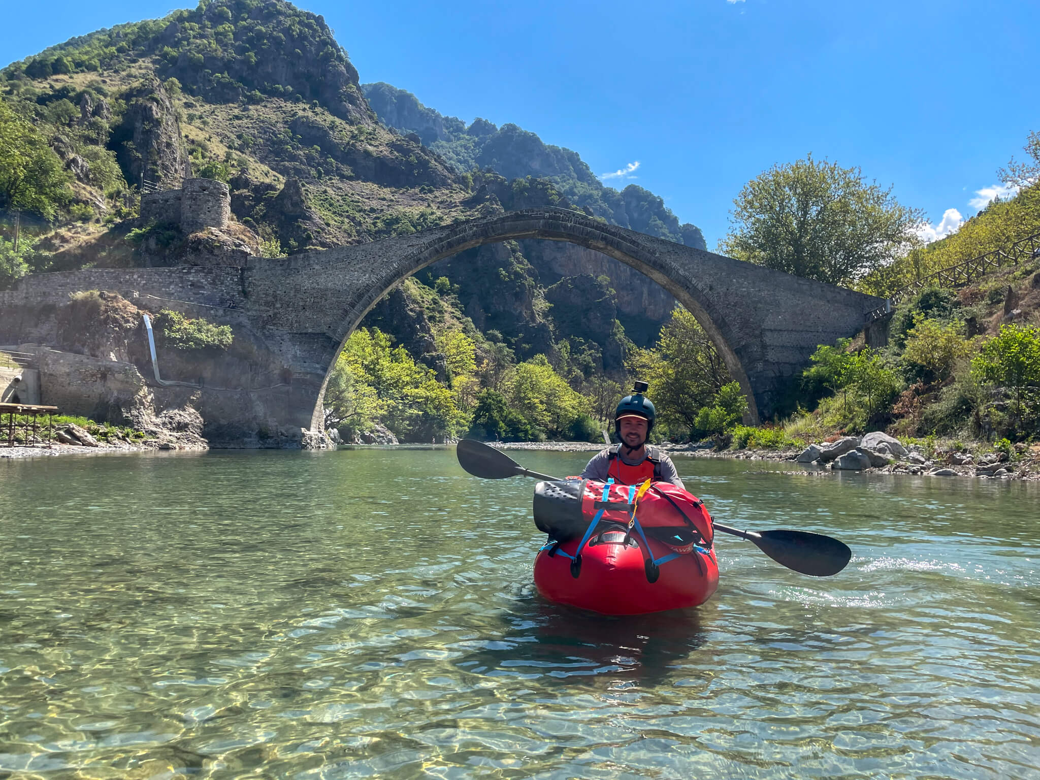
After 5 days isolated on the upper part of the river, with few opportunities to get out of the canyons, we return to civilization with some relief.
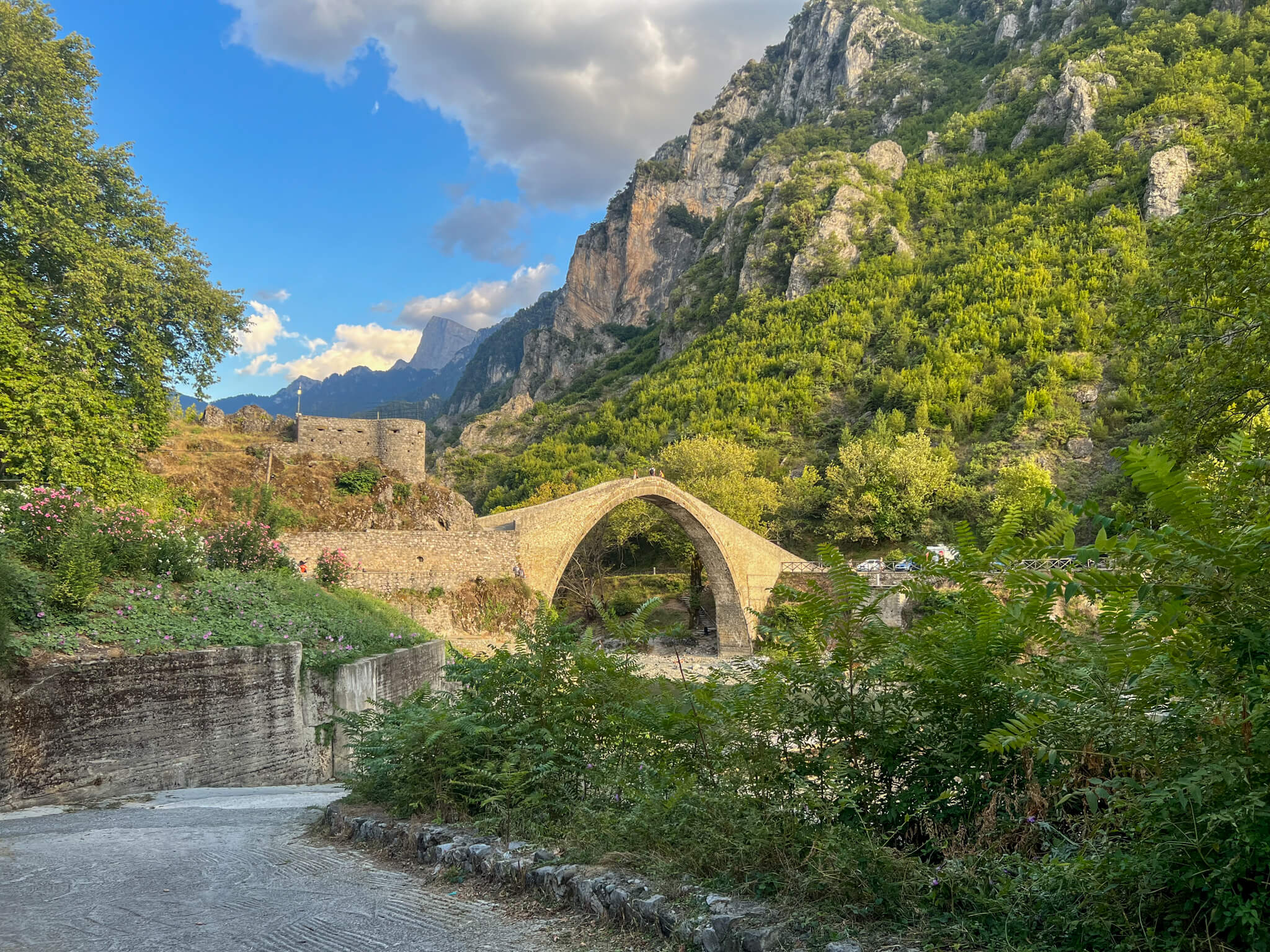
We arrive in the small Greek village of Konitsa, famous for its magnificent carved stone bridge, built in 1871.
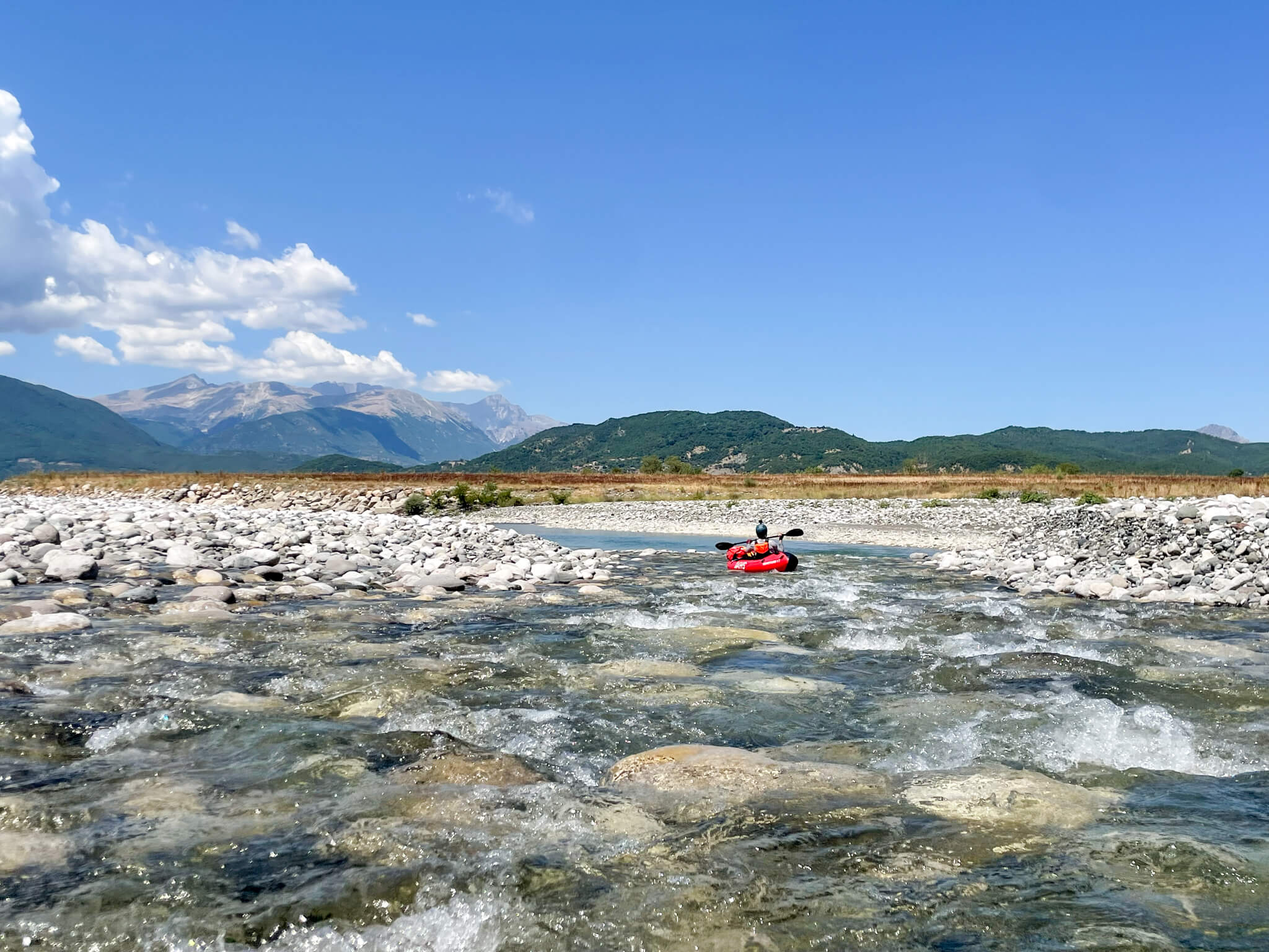
From here, the Aoos widens and the relief flattens. It’s extraordinary to see the river transform itself and the geography change with the rhythm of the water.
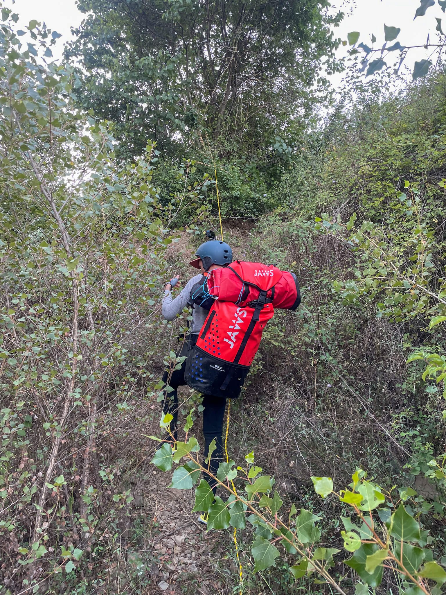
As Albania is not part of the Schengen area, we have to leave the river to avoid crossing the border illegally. We disembark in the middle of the scrubland, and it takes us many hours to get out of the thick, brambly vegetation.
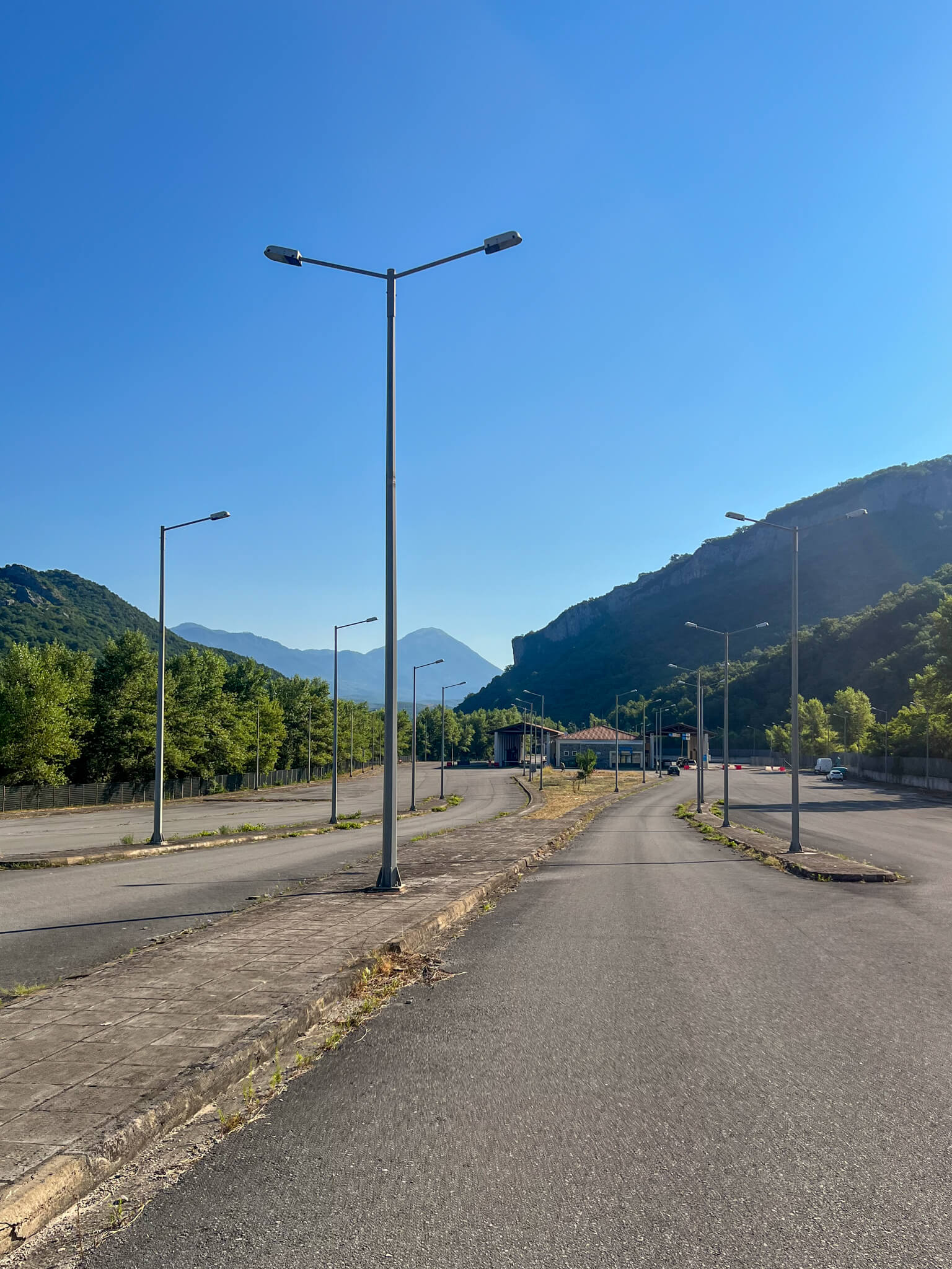
The border post is just a few kilometers’ walk away. We cross it on foot under the astonished eyes of the border guards.
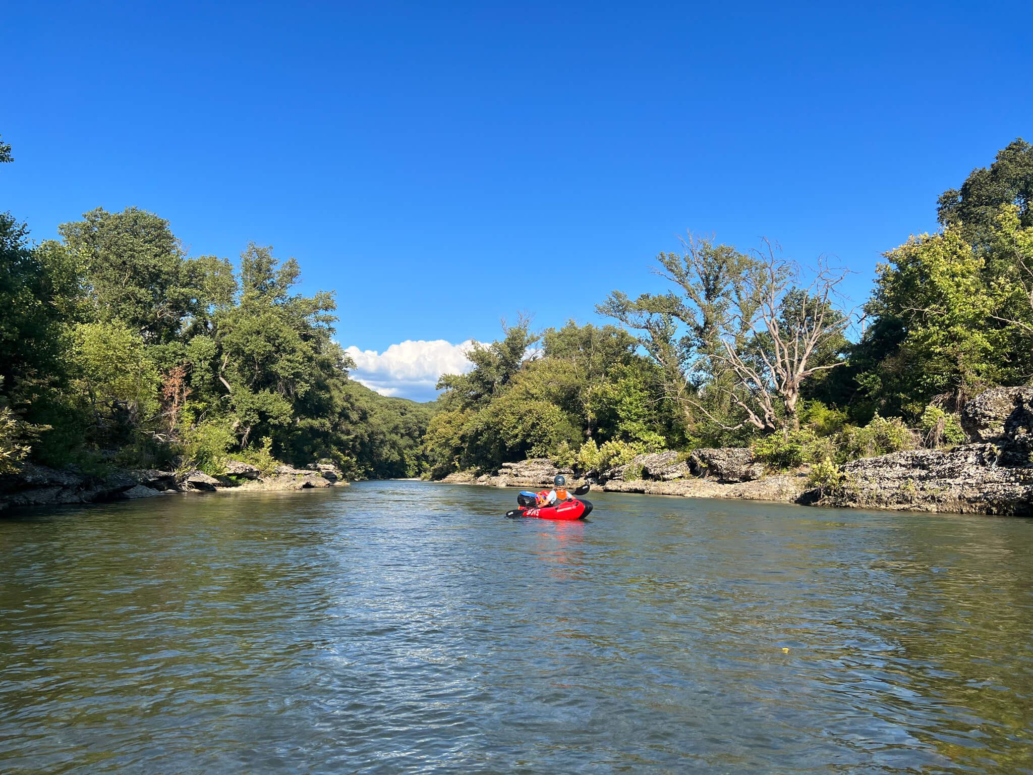
Albania, here we come! After 80 kilometers on the Aoos, we’re now on the Albanian side of the river, known here as the Vjosa.
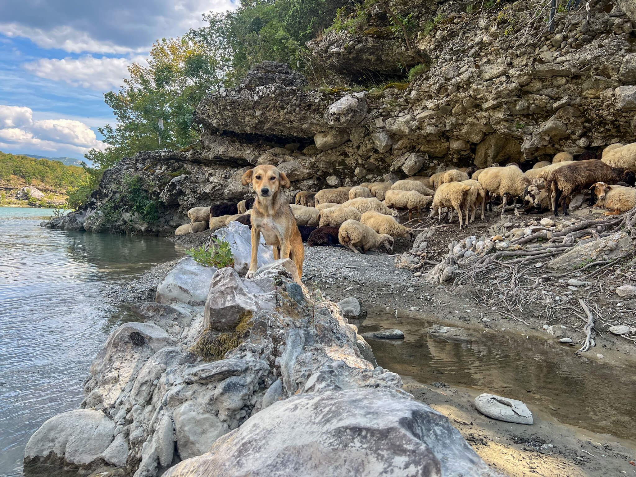
Greetings to the shepherd of a flock of sheep.
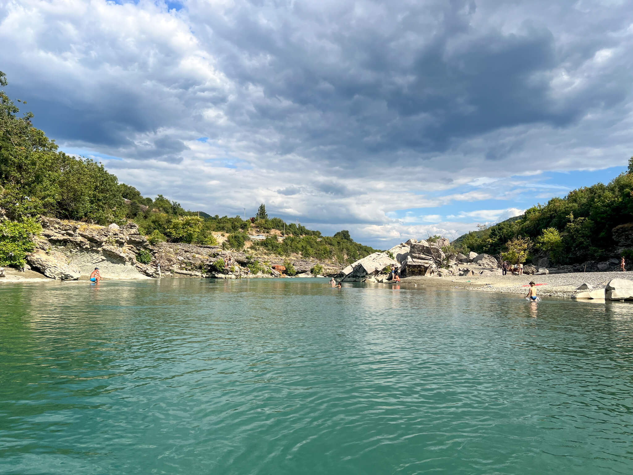
The Vjosa now flows through more populated countryside. On its banks we find fishermen, shepherds and holidaymakers enjoying the gentle waters.
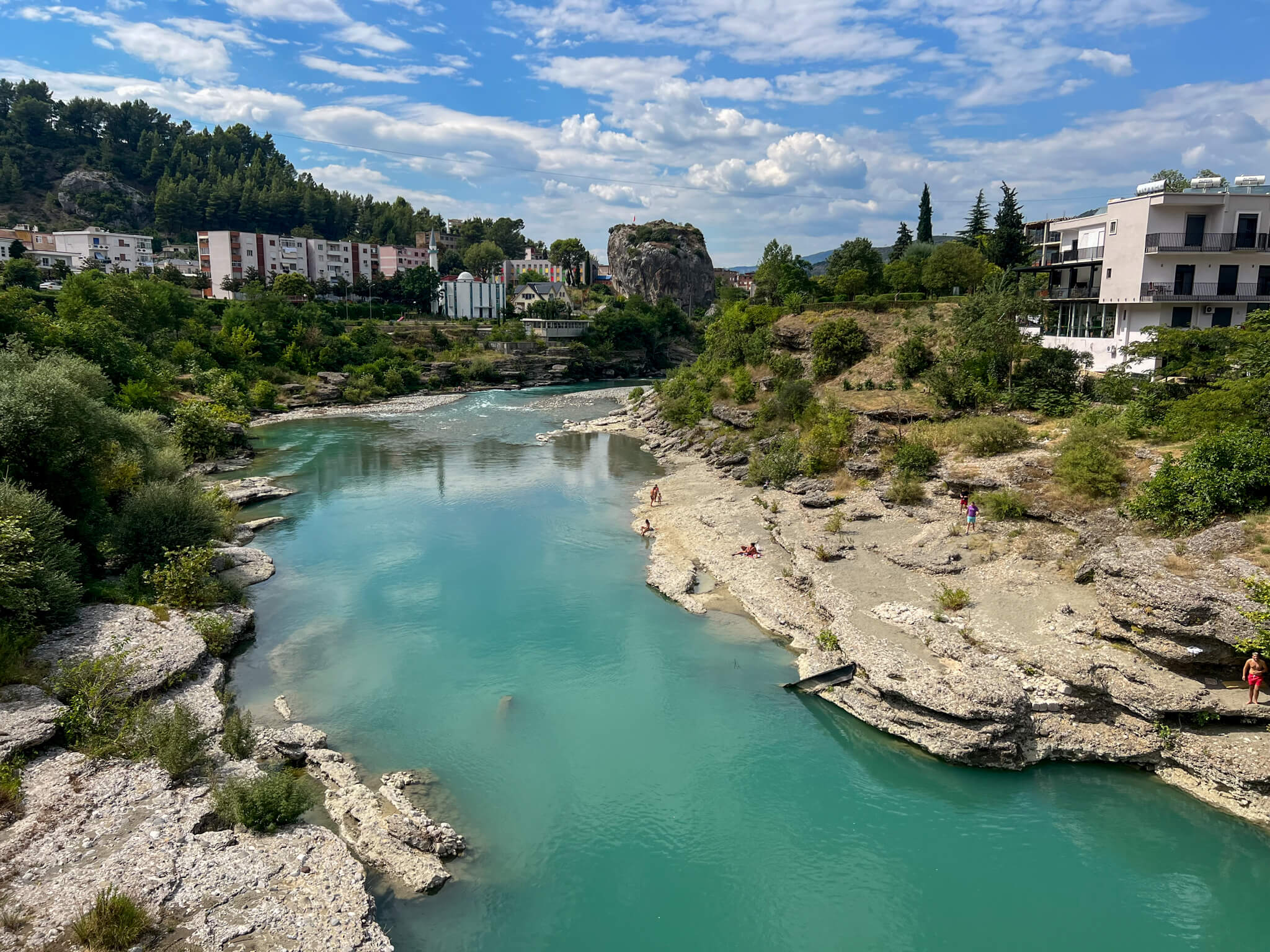
We pass through the town of Përmet, one of the most important towns on our route. This is an opportunity to stock up on food and take a break in a real bed.
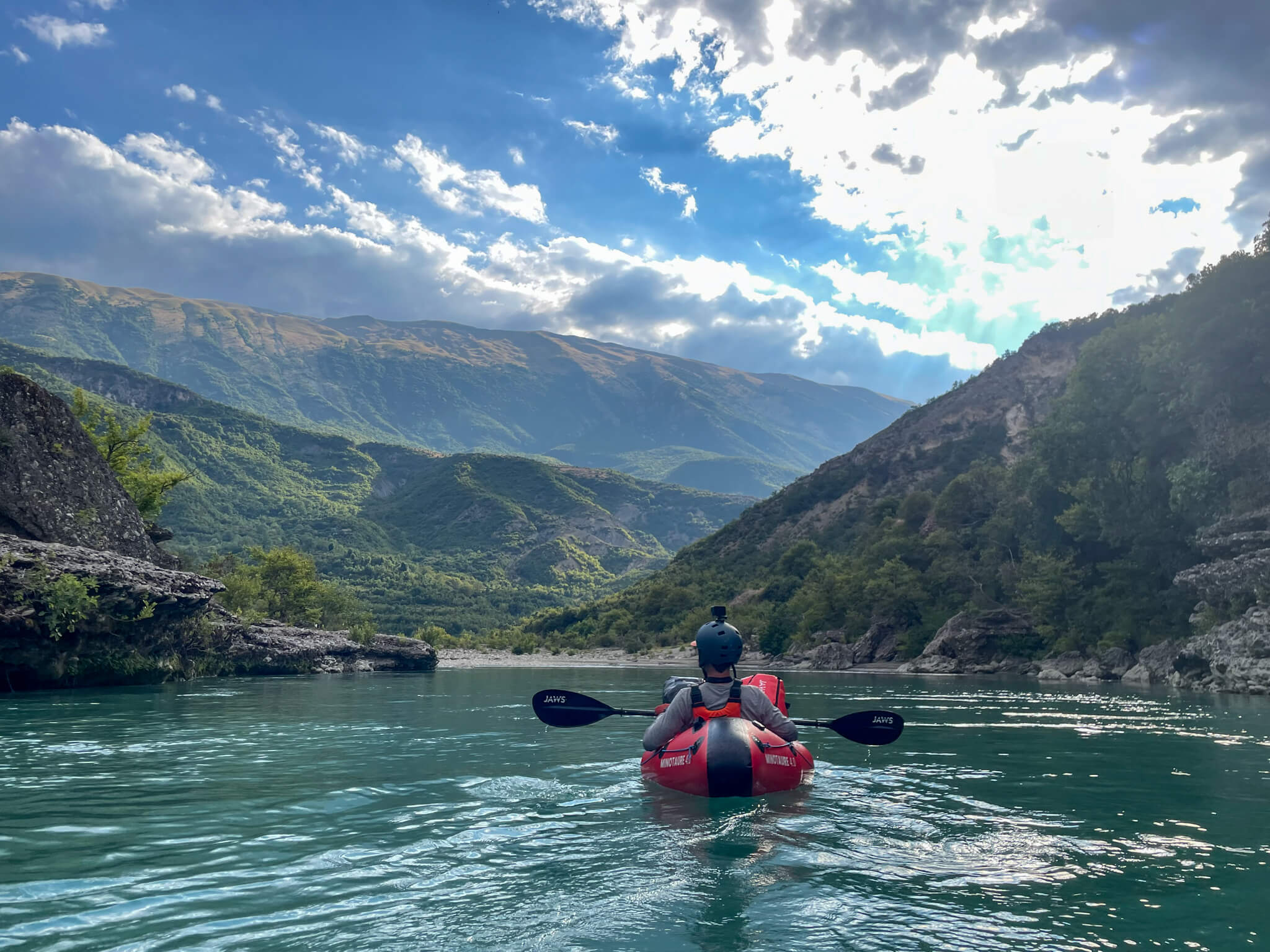
From our packrafts, we move silently along the water’s edge. This immersive experience offers us the chance to meet a host of animals: frogs, grey herons, storks, foxes and chamois.
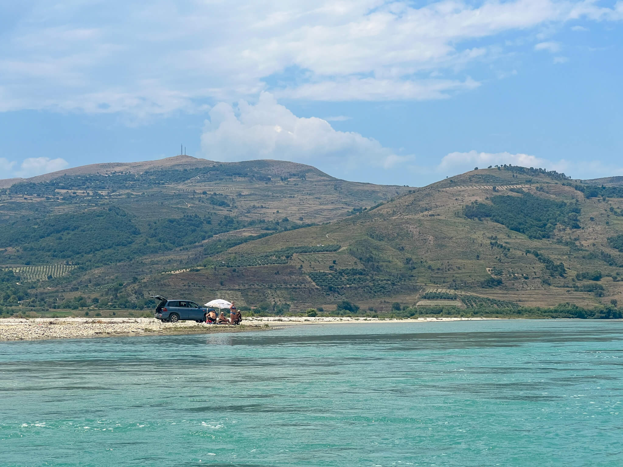
We pass under the gaze of holidaymakers comfortably seated on folding chairs. Amazed by our boats, they wave and invite us to join them.
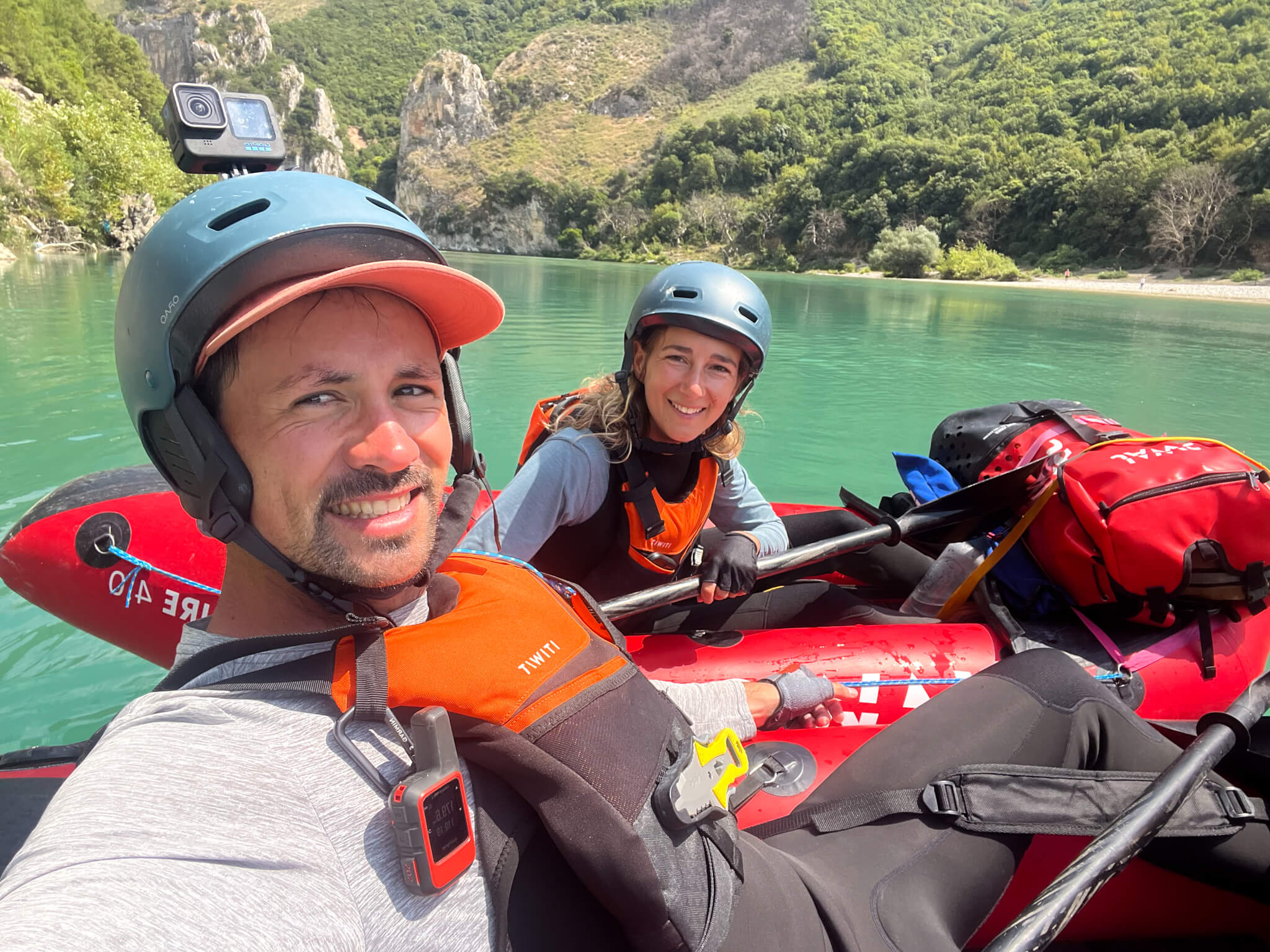
Smiles from a happy team.
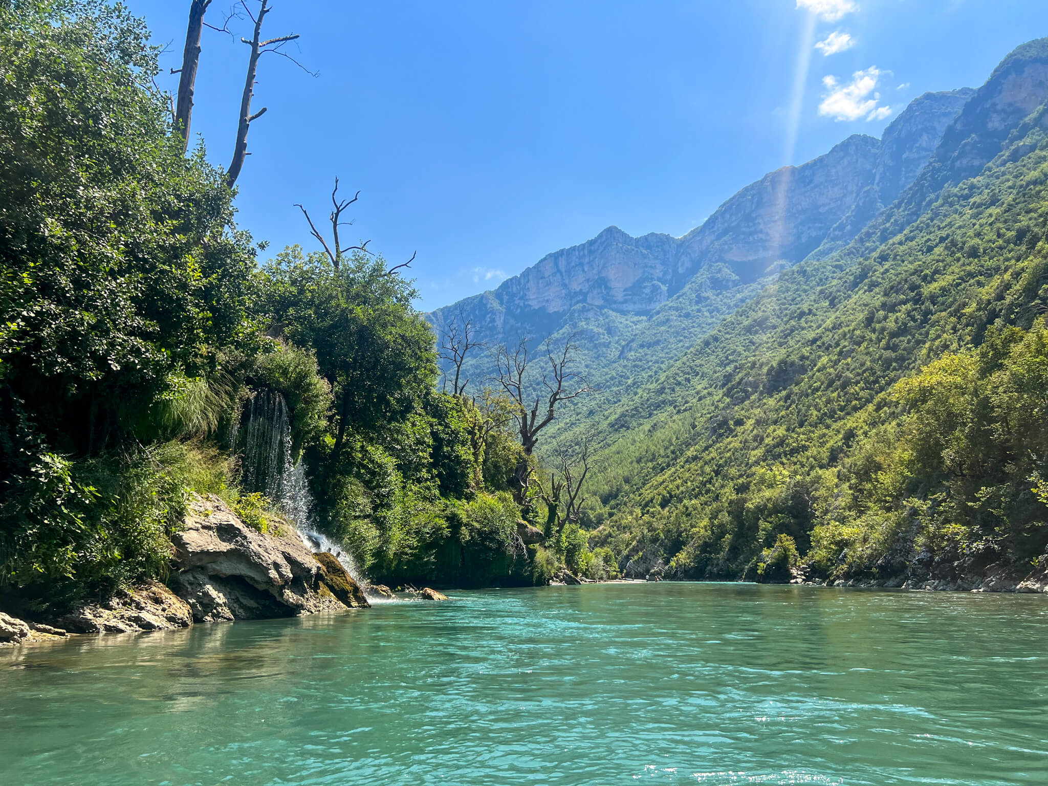
Welcome to paradise.
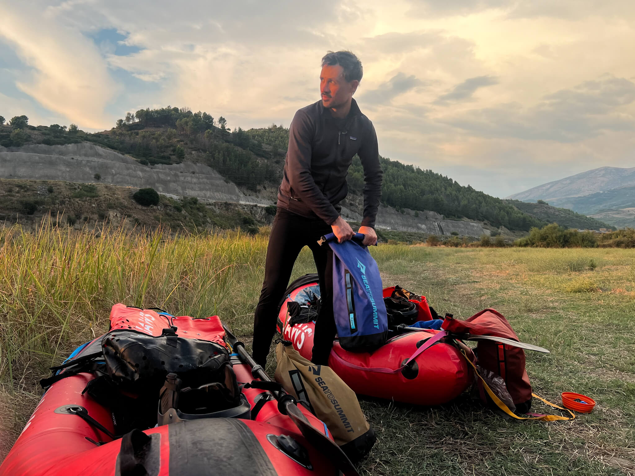
We stop before nightfall to change into dry clothes and set up camp.
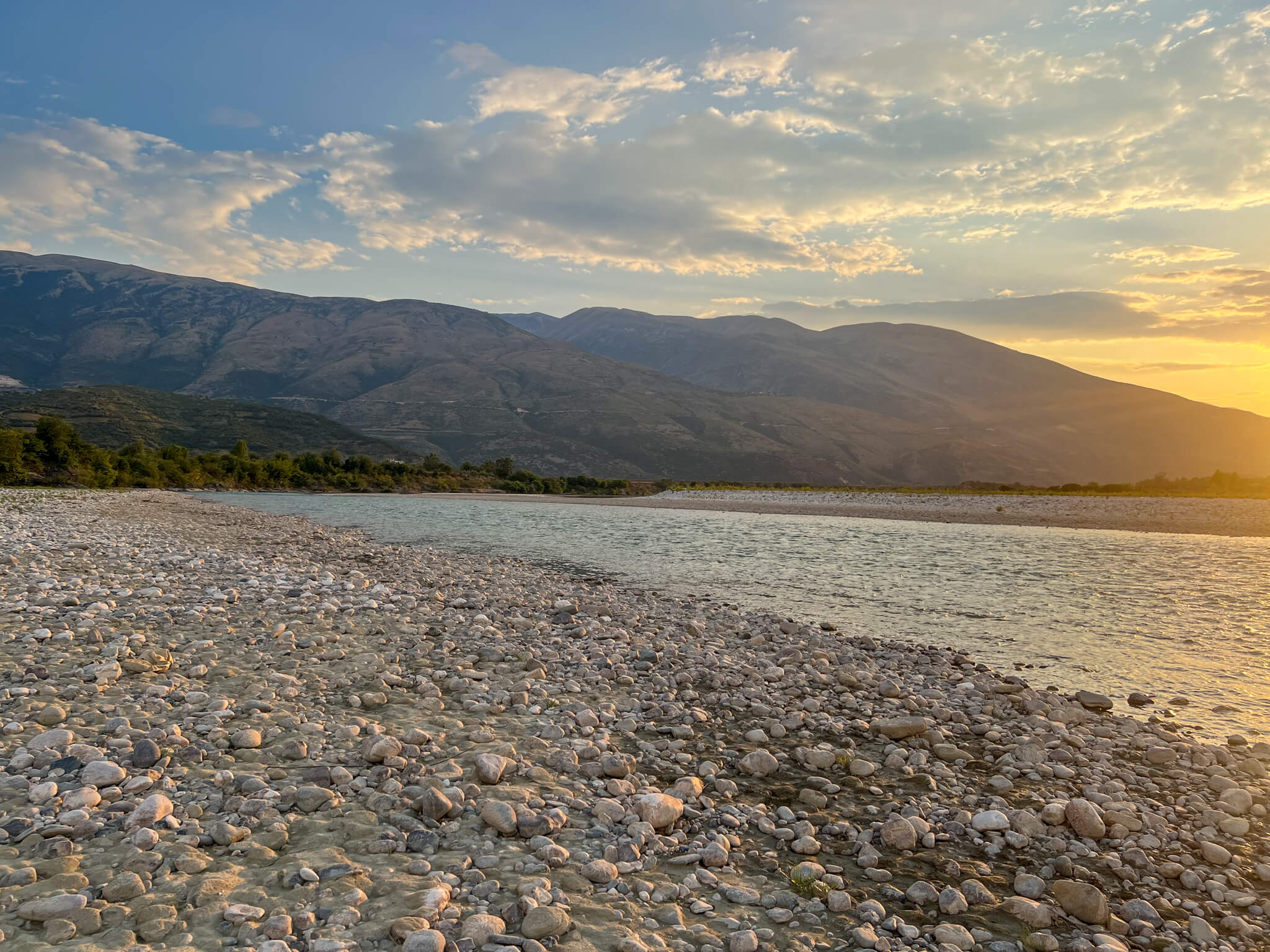
Now that we’re in Albania, the riverbanks are clearer.
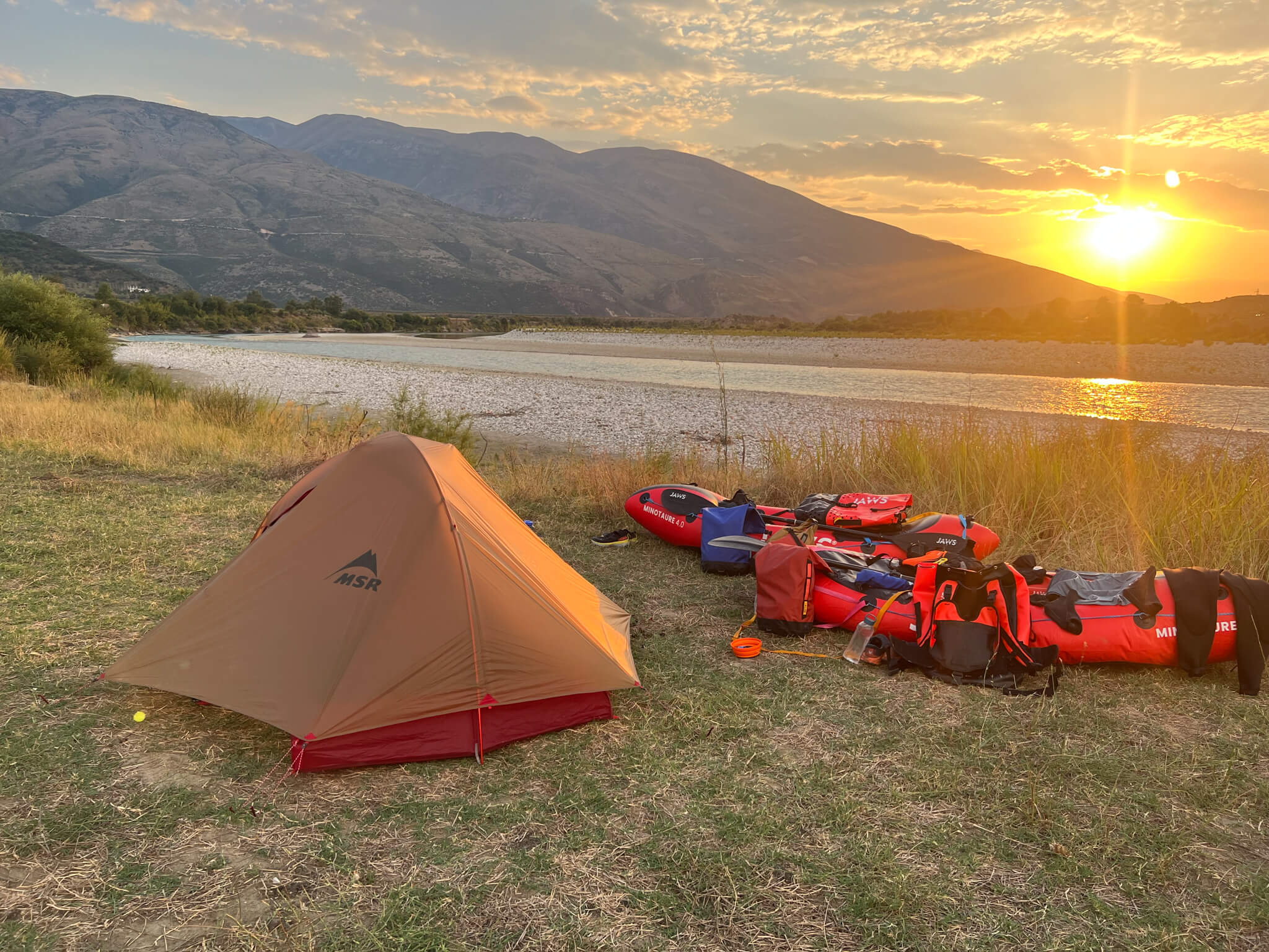
5-star campsite.
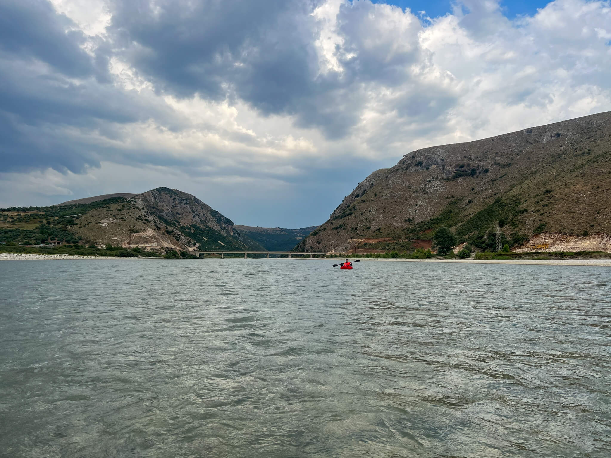
The rapids and rocks have given way to a wide, calm river. No more letting ourselves be carried along by the current, we have to paddle and paddle some more!
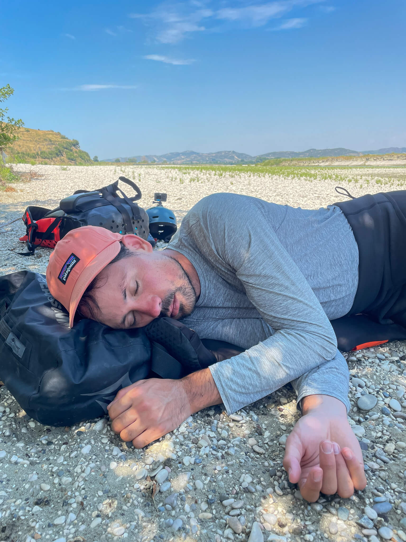
The lunch break is the perfect opportunity to take a nap and get going again.
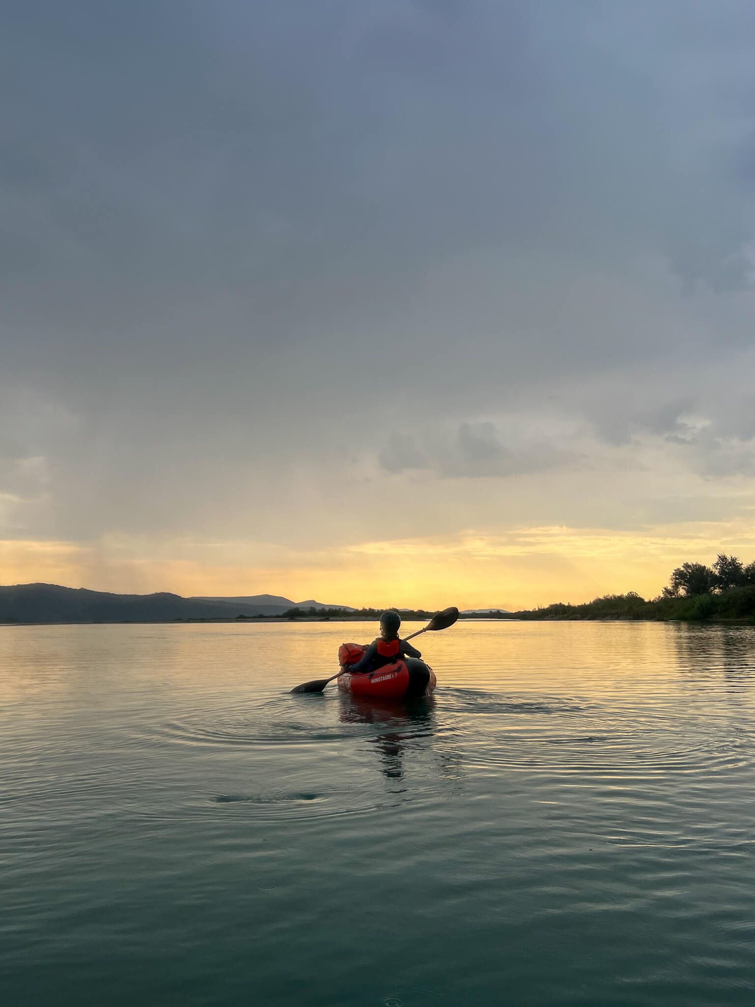
Final paddle strokes before camping.
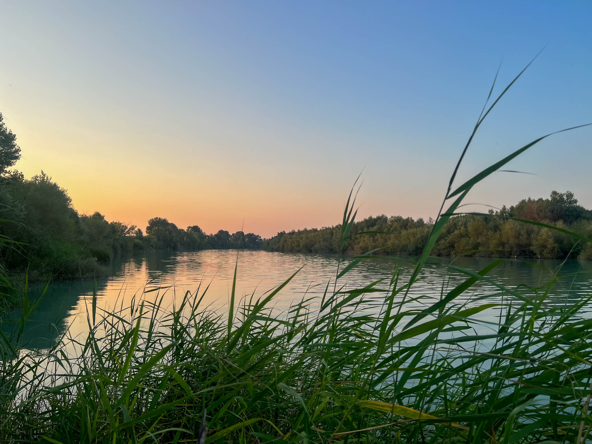
Evening lights on the banks of the river.
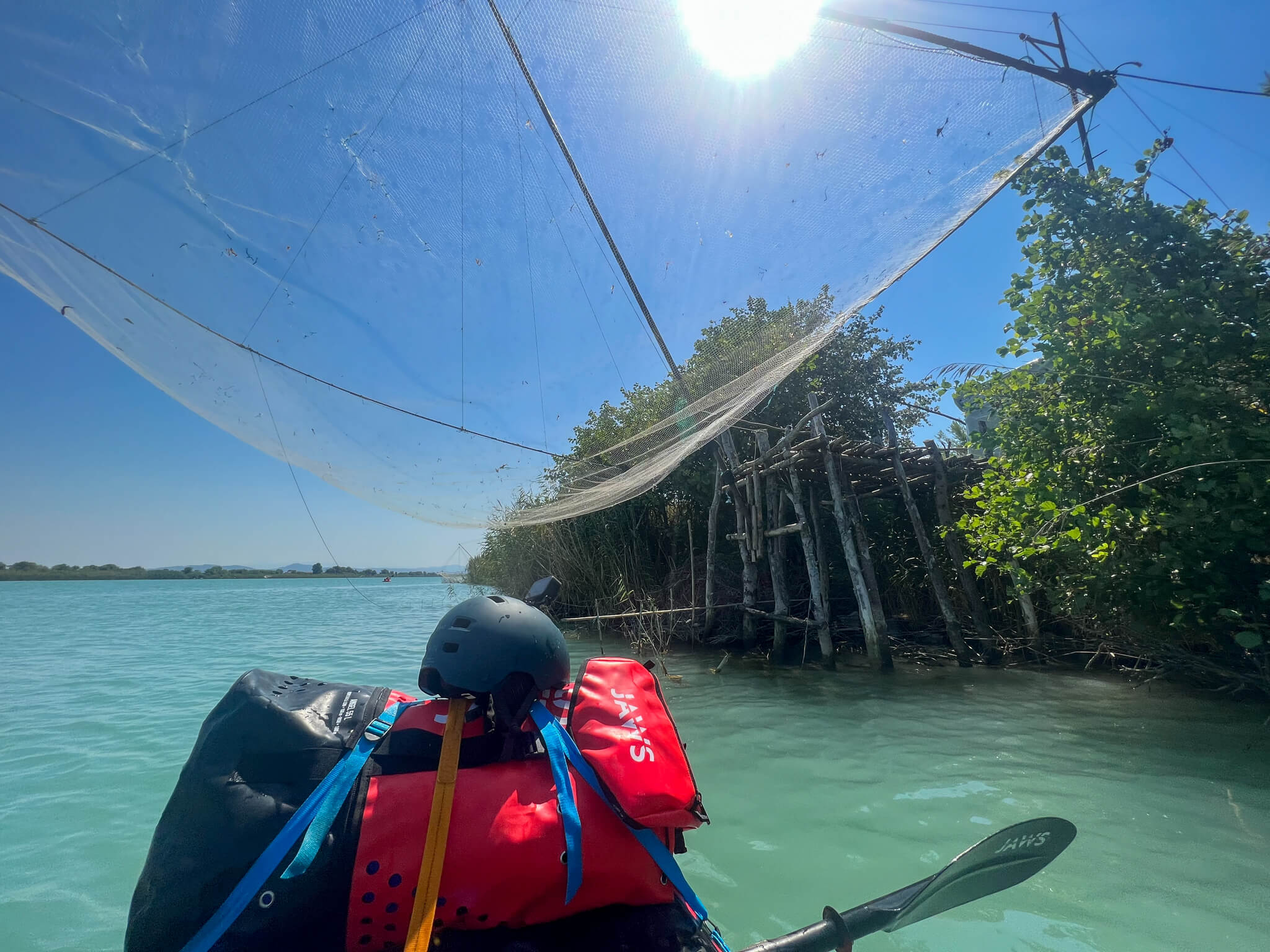
As we get closer to the mouth of the Vjosa, we encounter more and more fishermen and plaice boats. The river water mixes with sea water, and the fish are more plentiful.
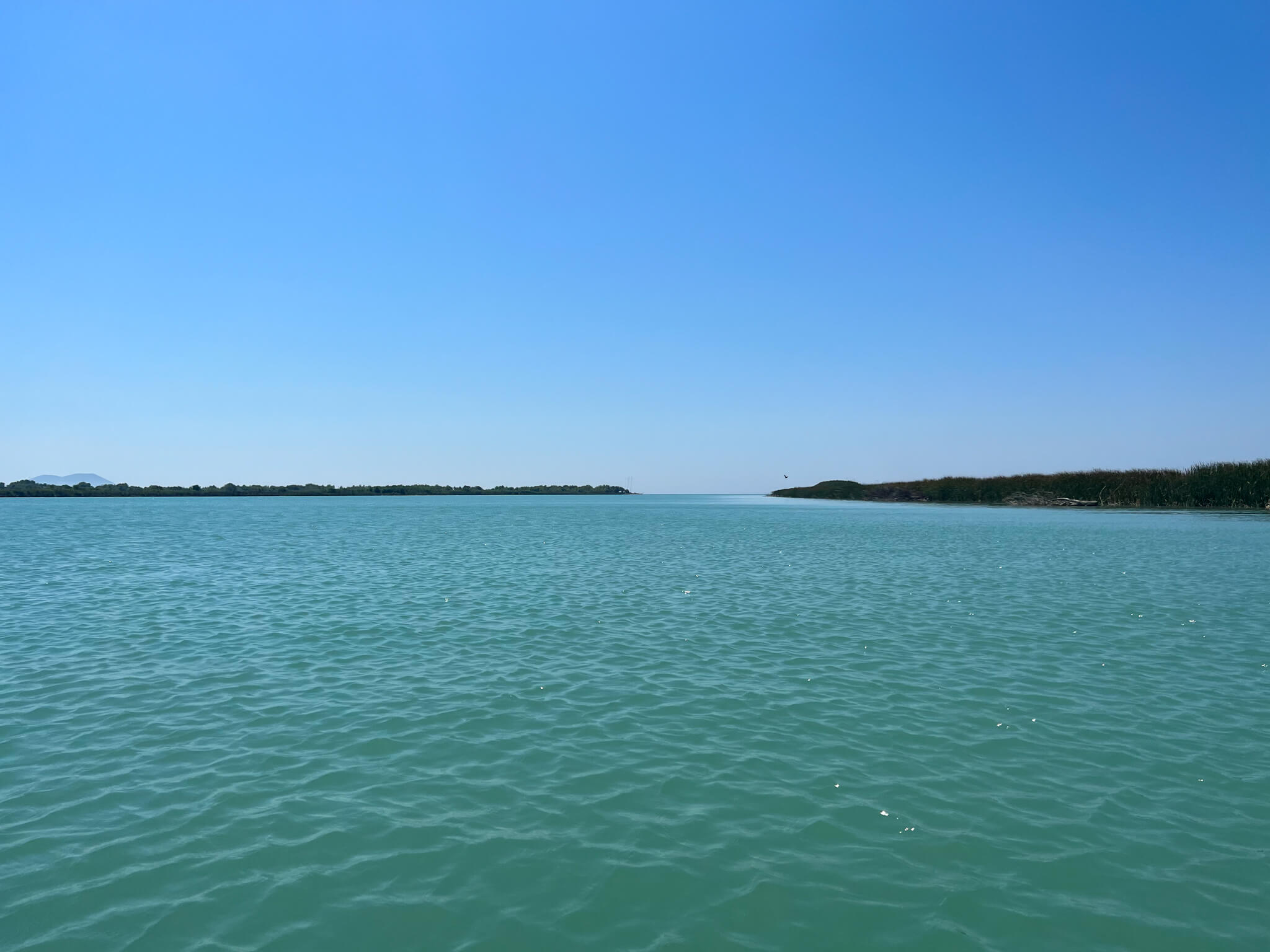
And suddenly… the Mediterranean Sea!
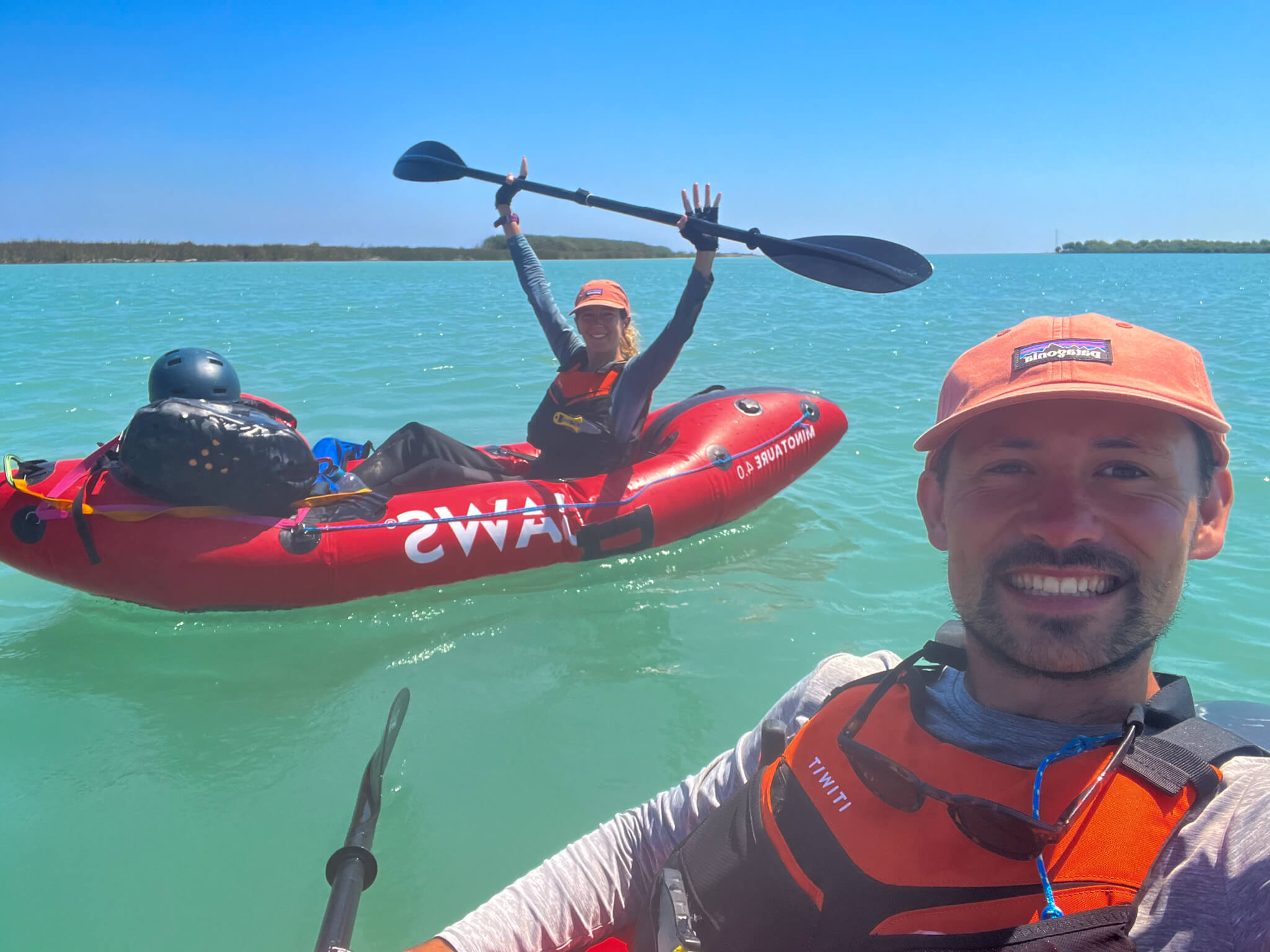
Arrival after 270 km and 12 days paddling the Vjosa from source to sea. Mission accomplished!
The Vjosa recently became a nature park. This means that the river will remain wild, its course will not be diverted and there will be no development such as dams or hydroelectric stations.
With this adventure, I wanted to highlight a little-known river and show that you don’t have to go to the other side of the world to immerse yourself in nature.
With several weeks ahead of us, the choice of soft mobility (round trip) was obvious. It took us 14 hours by train to reach Brindisi from Paris, and an overnight ferry crossing to Igoumenitsa in Greece. This choice was unfortunately twice as expensive as flying, but 20 times less CO2-emitting.
Thanks to my partners Jaws for packrafts, Patagonia for clothing, Lyophilisé & Co for camping gear and Garmin for safety.