FEDCHENKO, THE FORGOTTEN GLACIER
Expedition on the world’s longest mountain glacier
Forgotten by the world and explored only in 1928 by a German-Soviet expedition, the Fedchenko Glacier is the world’s longest glacier outside the polar regions. Its glacier tongue measures almost 77 km and is surrounded by peaks topping 7,000 m in the Pamir region of Tajikistan.
The melting of the Pamir glaciers is a major issue for the region. Their meltwaters are held back by titanic dams and drain away across the deserts and cotton fields of Uzbekistan. Once upon a time, they filled the remote Aral Sea, now virtually dried up…
This is the starting point of our adventure. With travel writer Cédric Gras and filmmaker Christophe Raylat, we travelled from the Aral Sea in Uzbekistan to the source of the Fedchenko glacier in Tajikistan.
An adventure in partnership with PICTURE, an eco-responsible outdoor clothing brand.
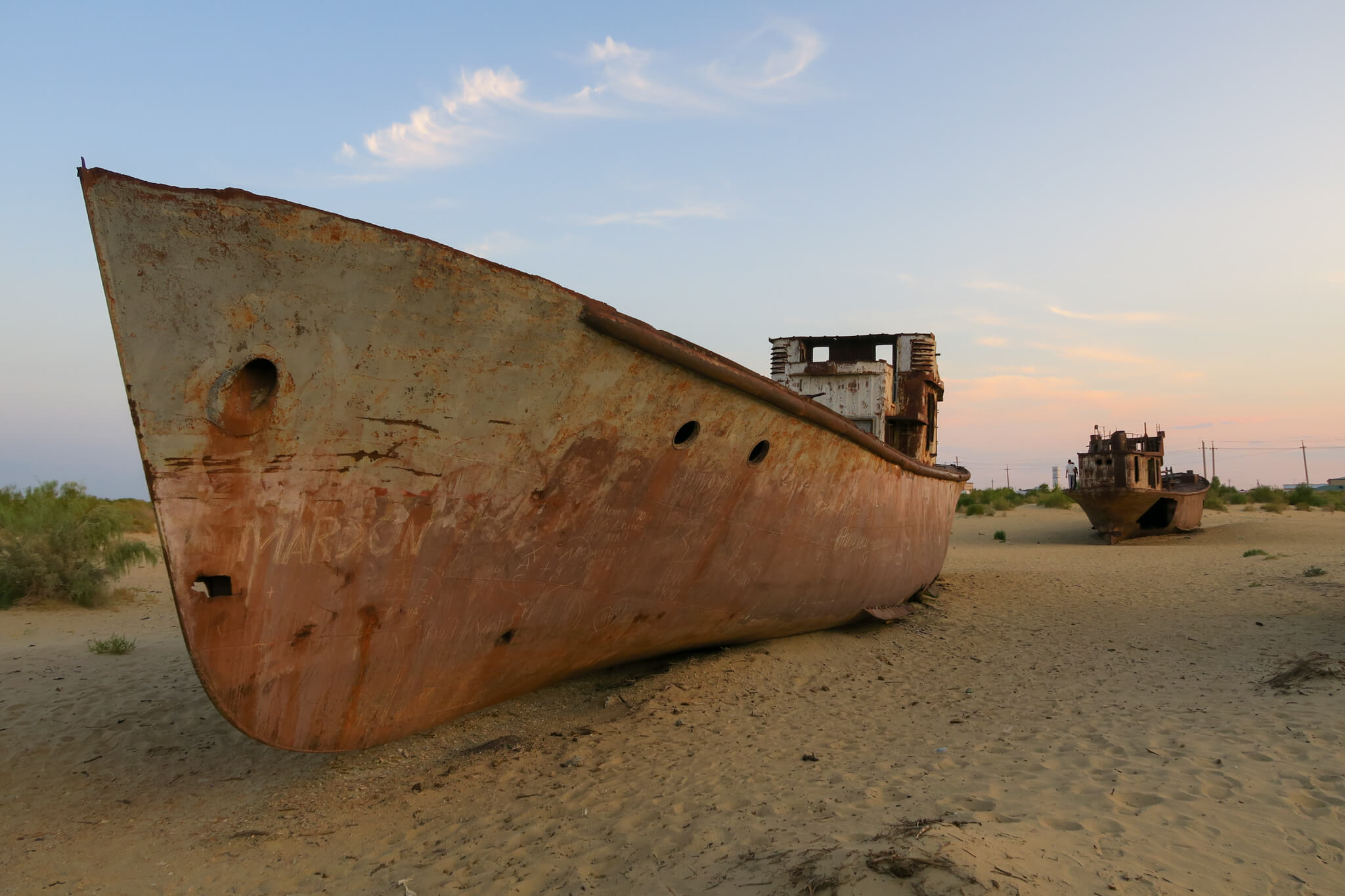
The ancient Aral Sea, at Moinak in Uzbekistan. Until the early ’80s, there was a sea here, the local people fished, and the Soviets took their first paid vacations.
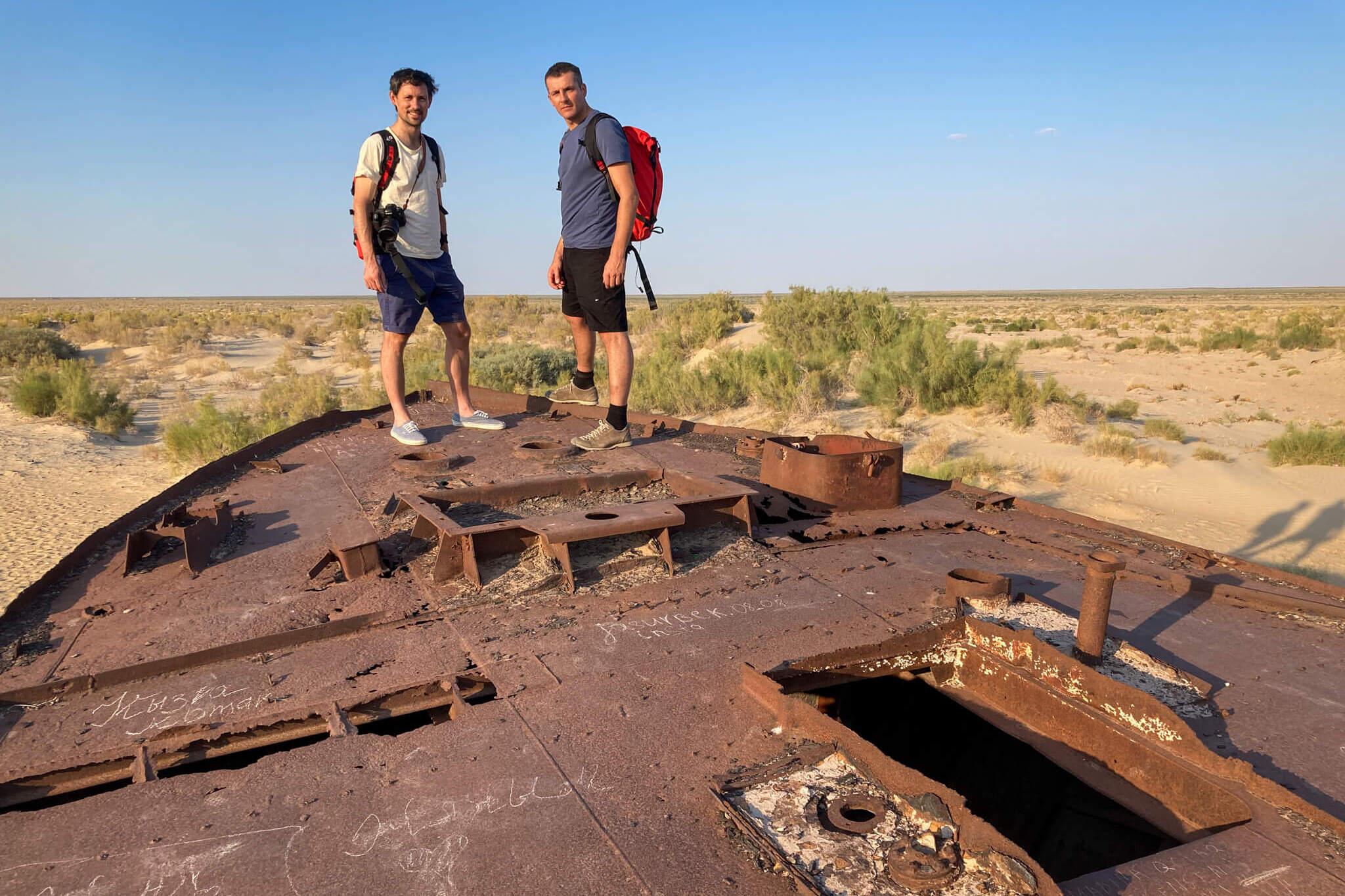
And then, slowly, the water level dropped, the sea retreated until it disappeared, giving way to desert. Within a generation, it was all over.
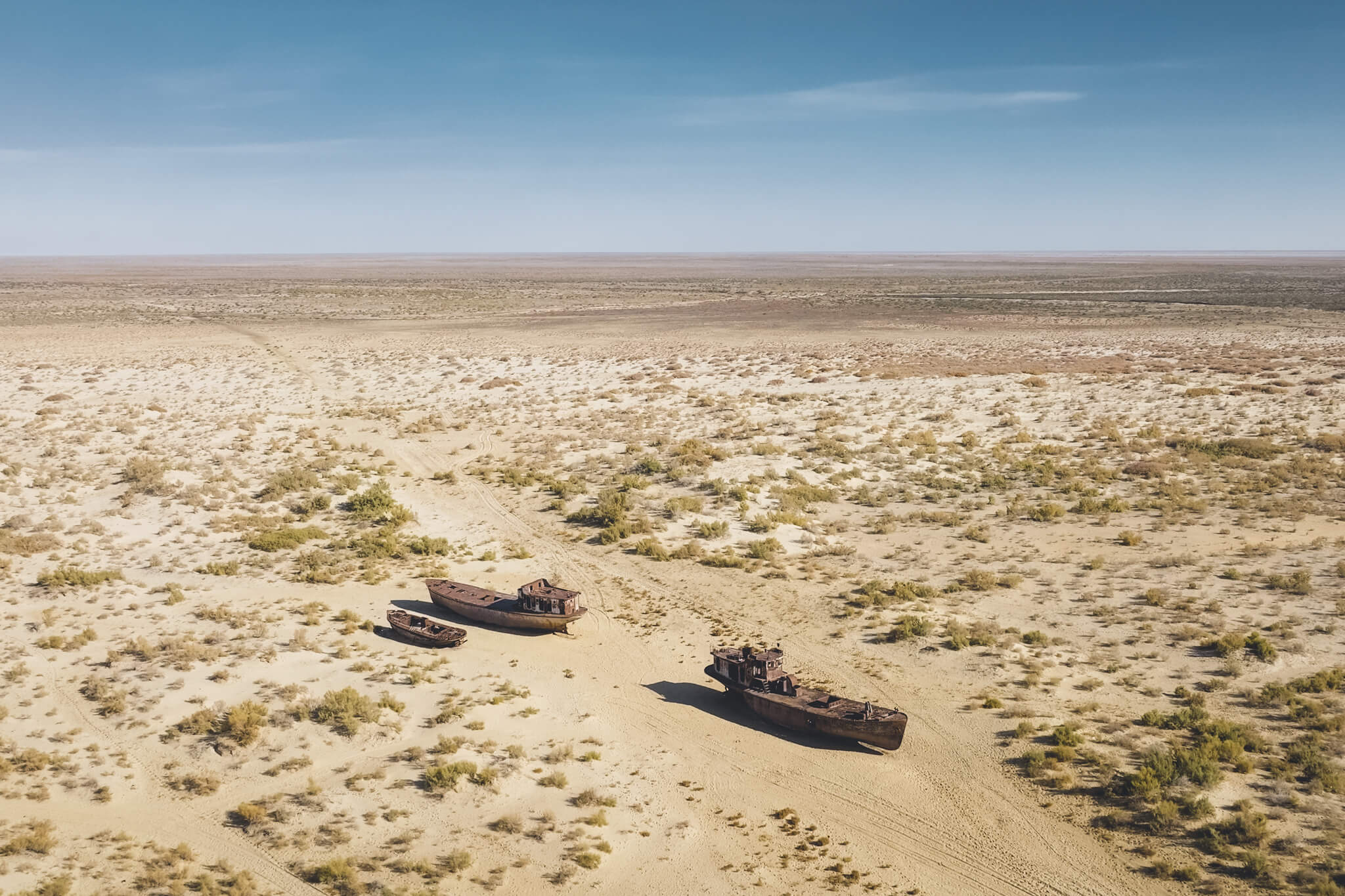
Today, hundreds of shipwrecks lie in the sand.
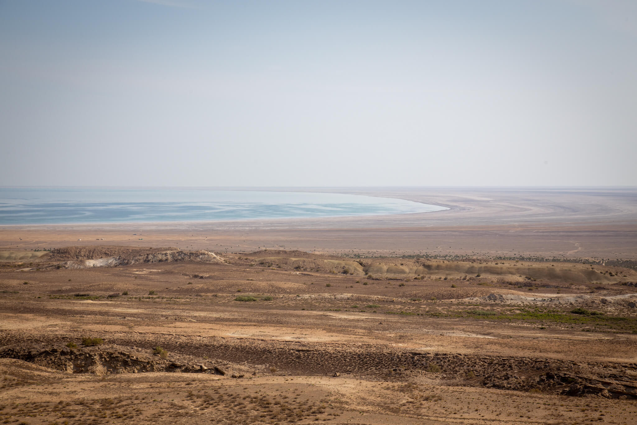
The sea has receded so far that it takes almost 4 hours in a 4×4 to find its waters. When they finally appear, a deep blue delights the weary gaze of the ochre lands. The sun is scorching, the evaporation colossal and not a cloud to cast a shadow. This is all that remains of one of the world’s largest lake expanses.
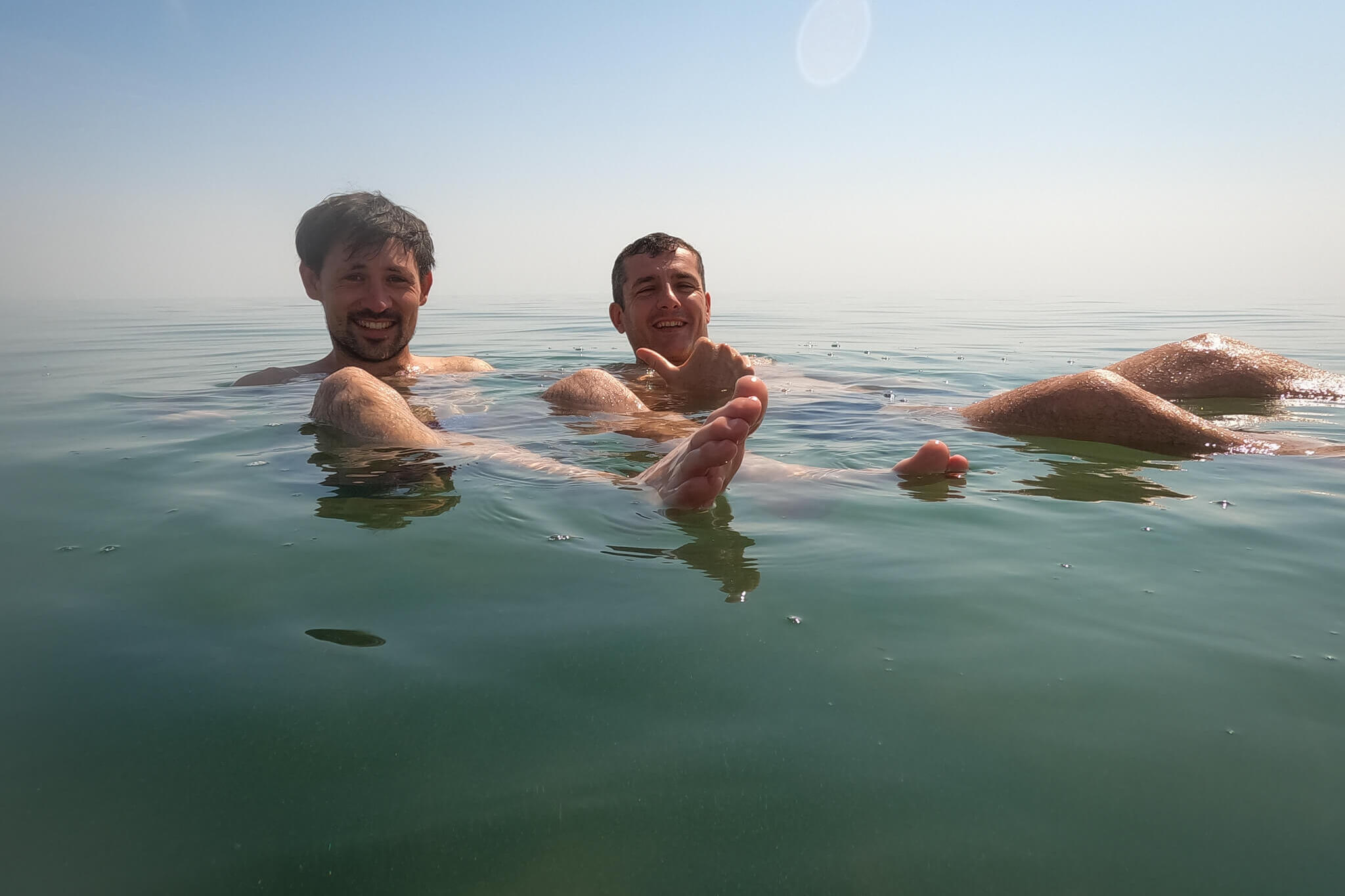
The salinity of the Aral Sea is so high that we float like corks on the surface of the water. It’s hard to believe that this water, which has become so salty due to evaporation, comes almost exclusively from the glaciers of the Pamir, 2,000 km away. That’s why we wanted to start our journey at the Aral Sea, to get a better idea of its sources.
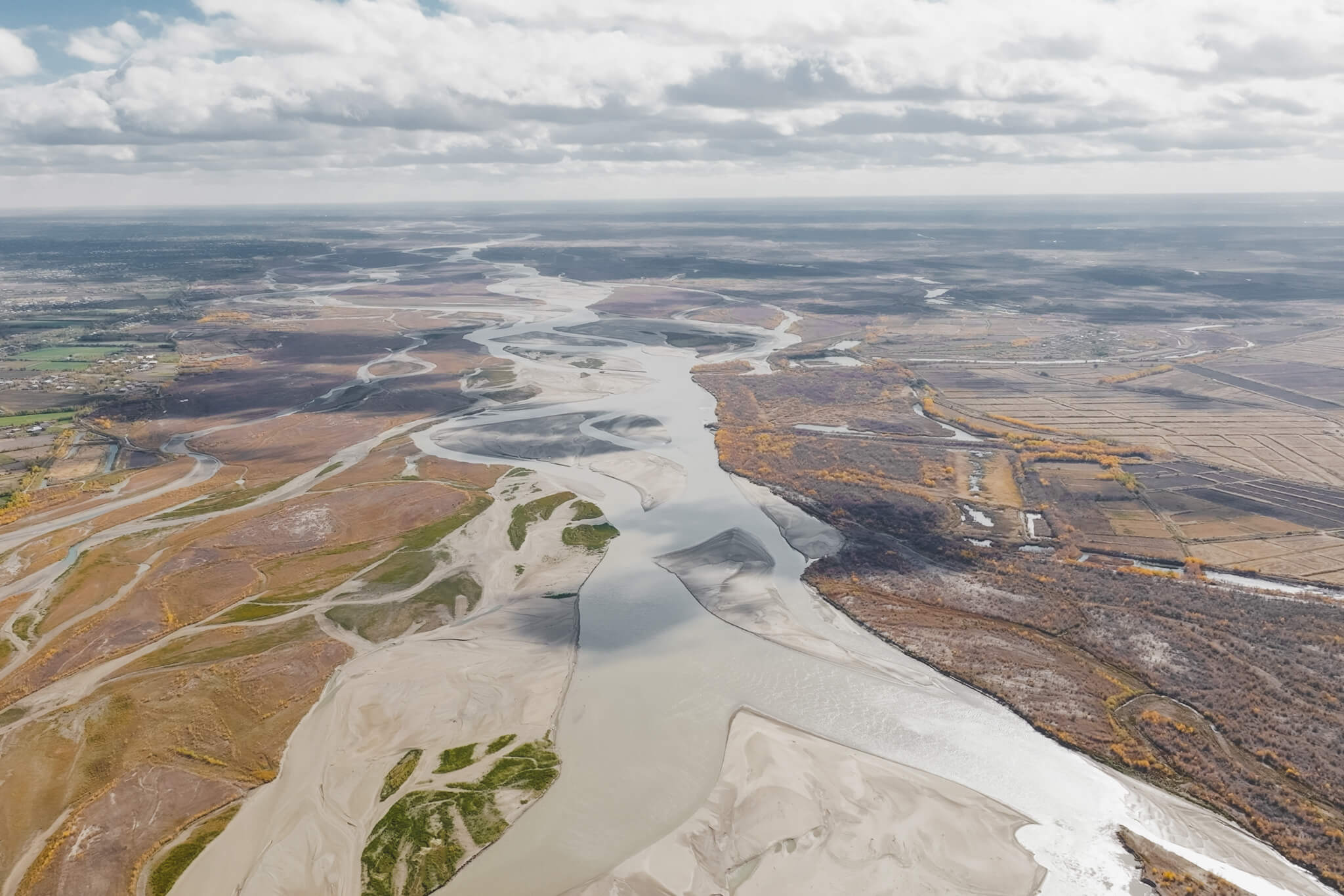
If the Aral Sea is steaming away, it’s because the mighty Amu Darya River no longer waters it. Abundant crop irrigation and the needs of a growing population are draining it far upstream.
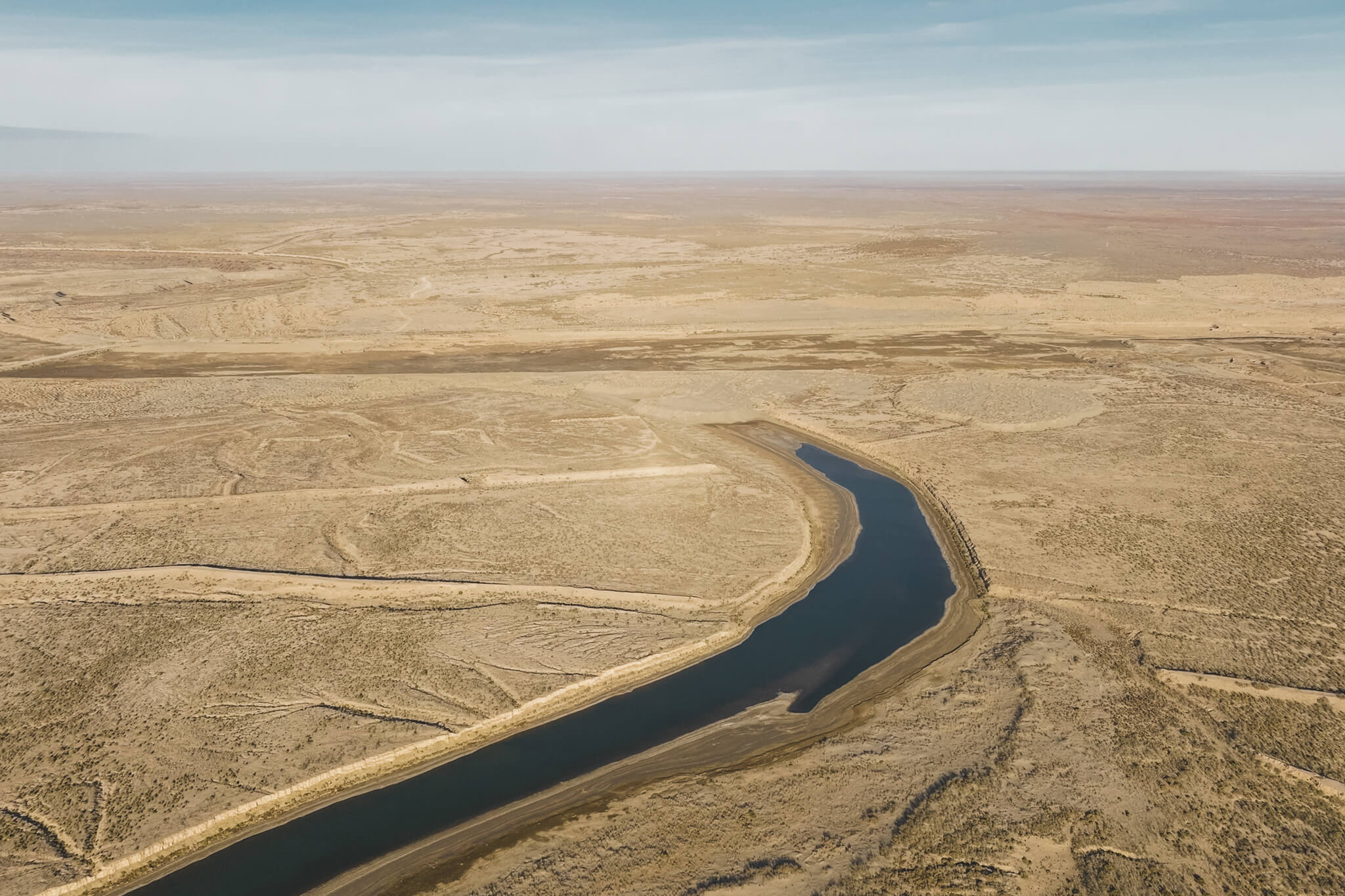
The last drops of the river are lost in the sand.
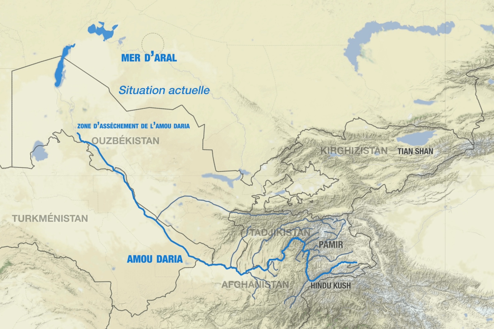
To the south, Turkmenistan takes half the flow for its survival, and even further east, Afghanistan shares it with Tajikistan. All countries for which these waters are vital. The Amou-Daria is to Central Asia what the Nile is to Egypt. It is almost the only water resource in a region of the world where rainfall is scarce and stingy.
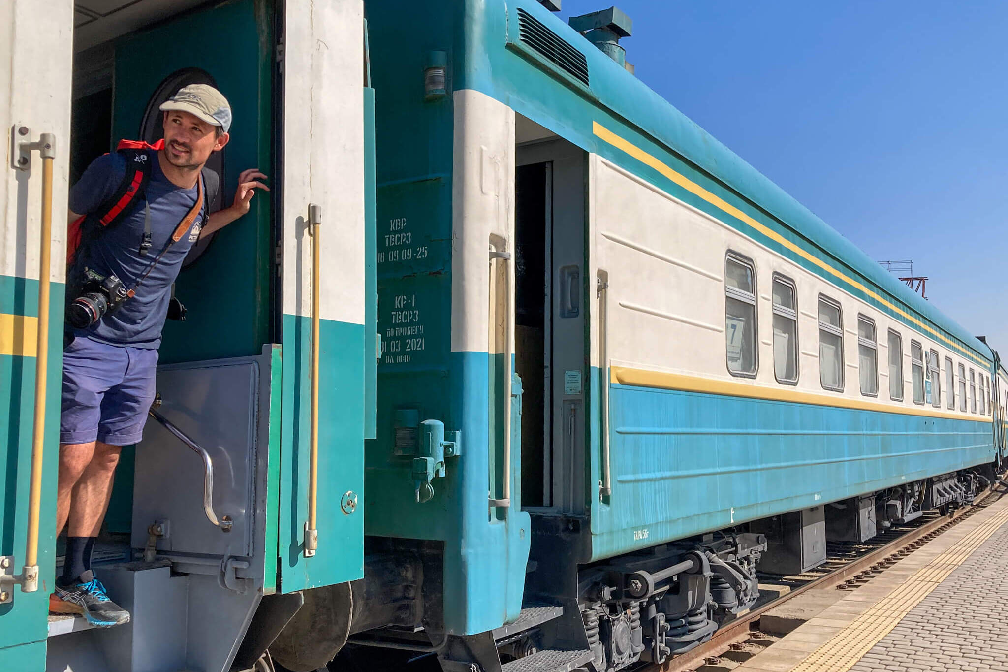
Heading east. The Soviets left an extensive network of railroads in Central Asia. The train is a comfortable way to cross the steppe.
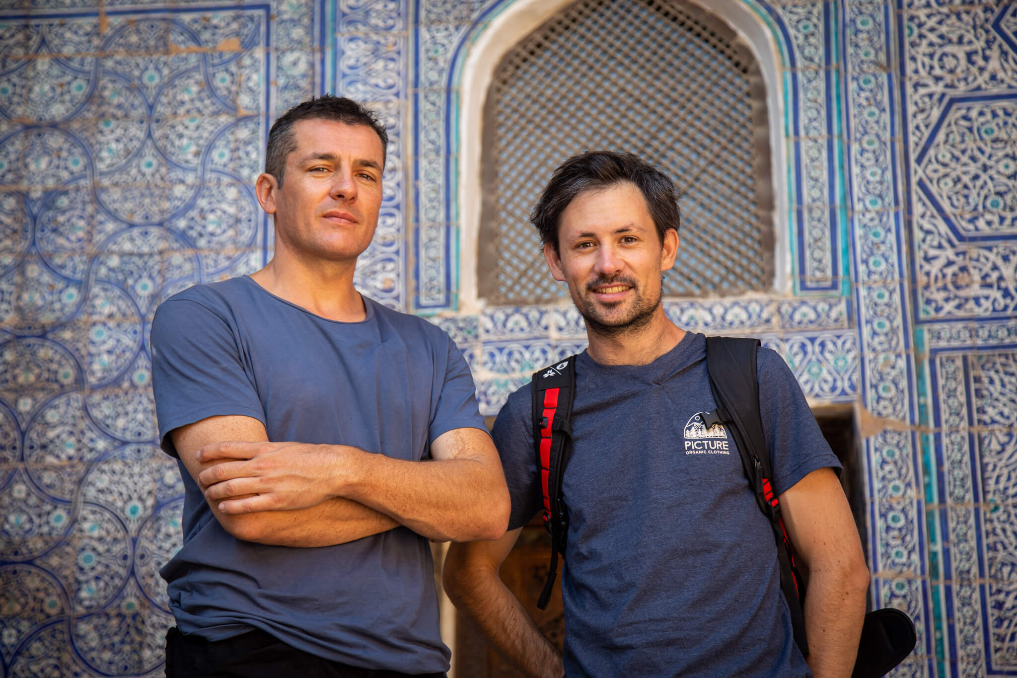
With Cédric in front of the Tach Khaouli, a magnificent palace in dazzling Khiva, the pearl of Uzbekistan’s Silk Road.
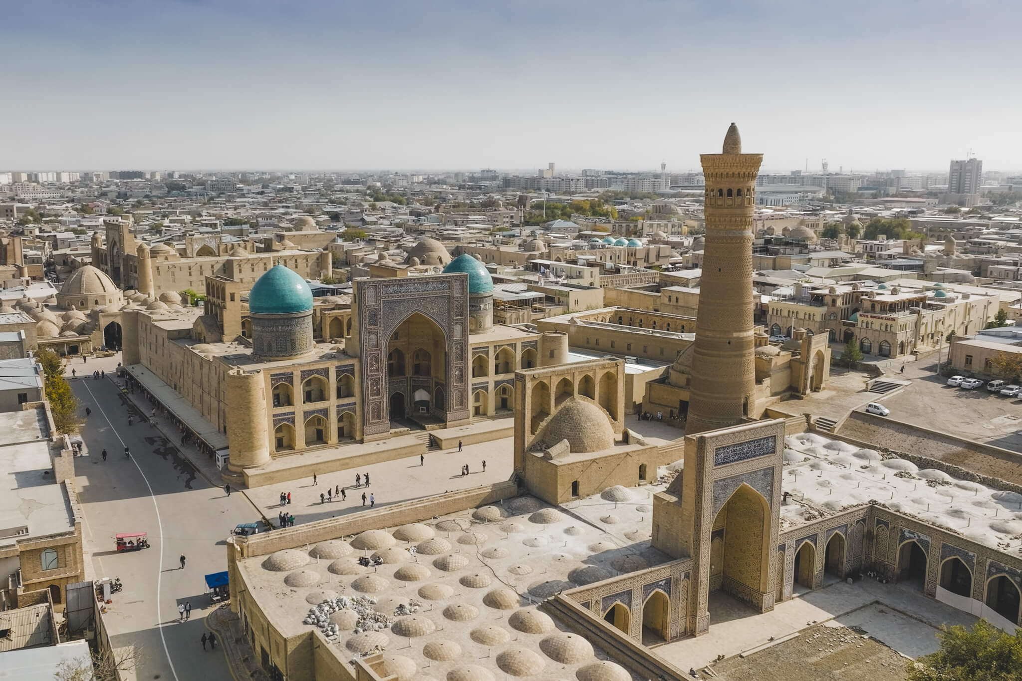
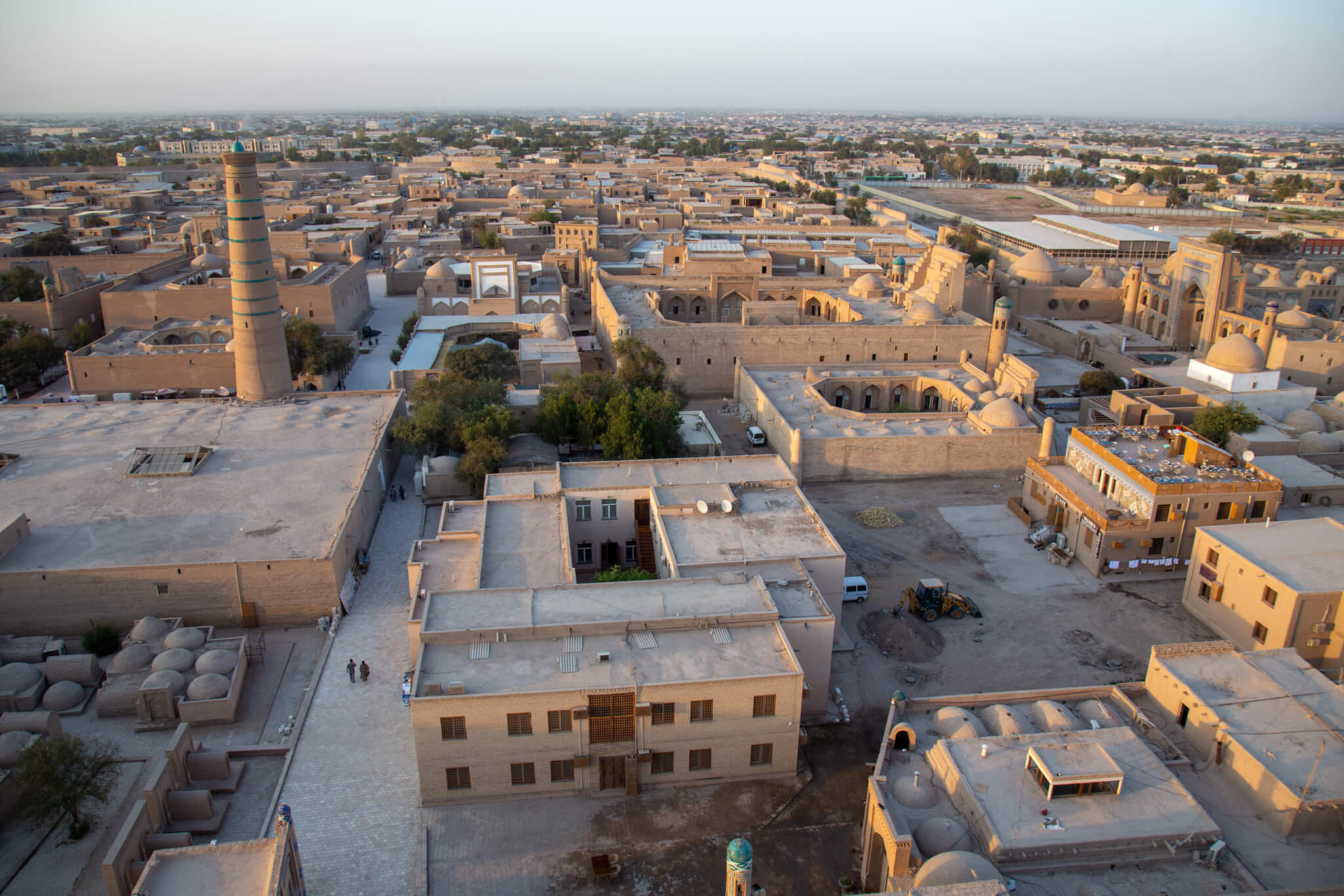
Life revolves around the meandering bed of the Amu Darya and the canals that divert the precious liquid to Khiva.
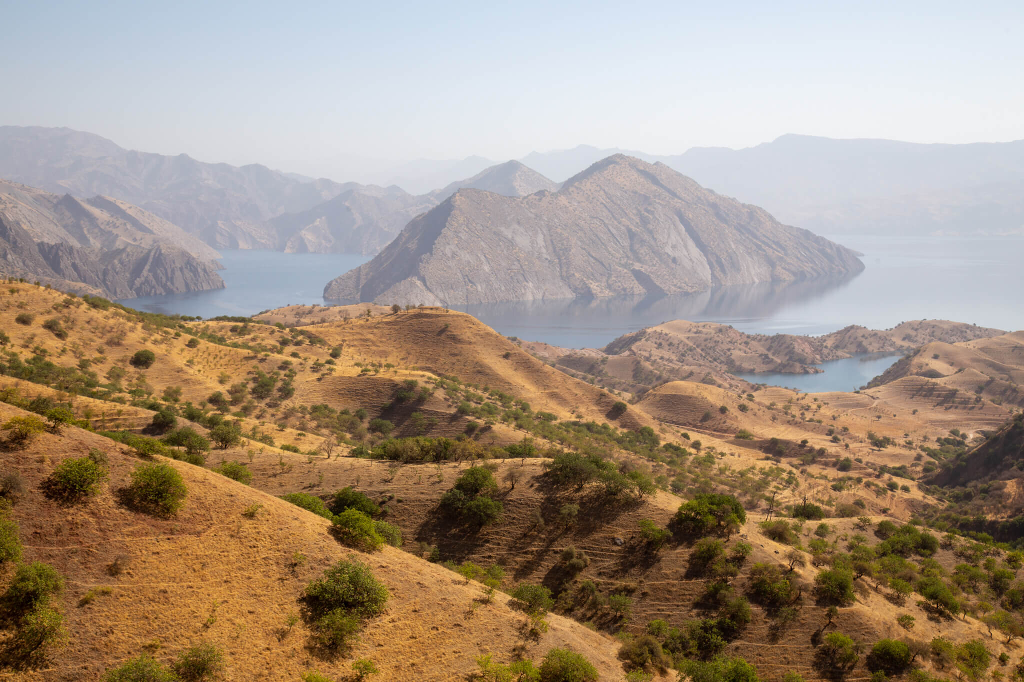
On our way to the mountains, we manage to visit the Nourek dam, guarded by the military. The thousands of glaciers in the Pamir form a precious water tower. Tajikistan is master of the tap, and this record-breaking 304-metre-high structure is as imposing as it is strategic. Hydroelectric power stations generate around 93% of the country’s electricity.
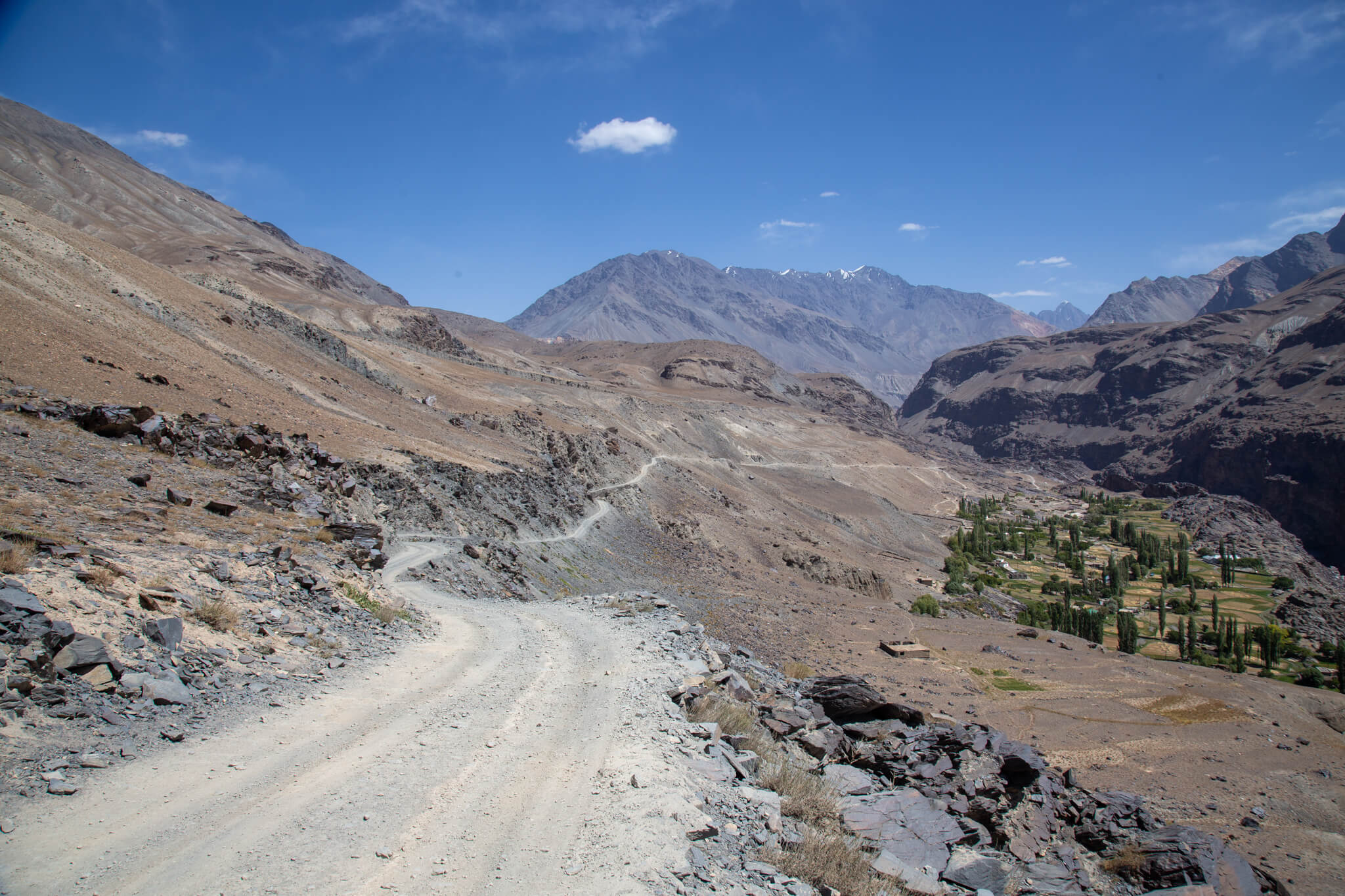
The villages we pass through, like the one just below the road, are real oases in the middle of stony plains. In winter, they are completely cut off from the world. At an altitude of 3,000 metres, the mountain slopes are draped in a blanket of snow and the roads are blocked.
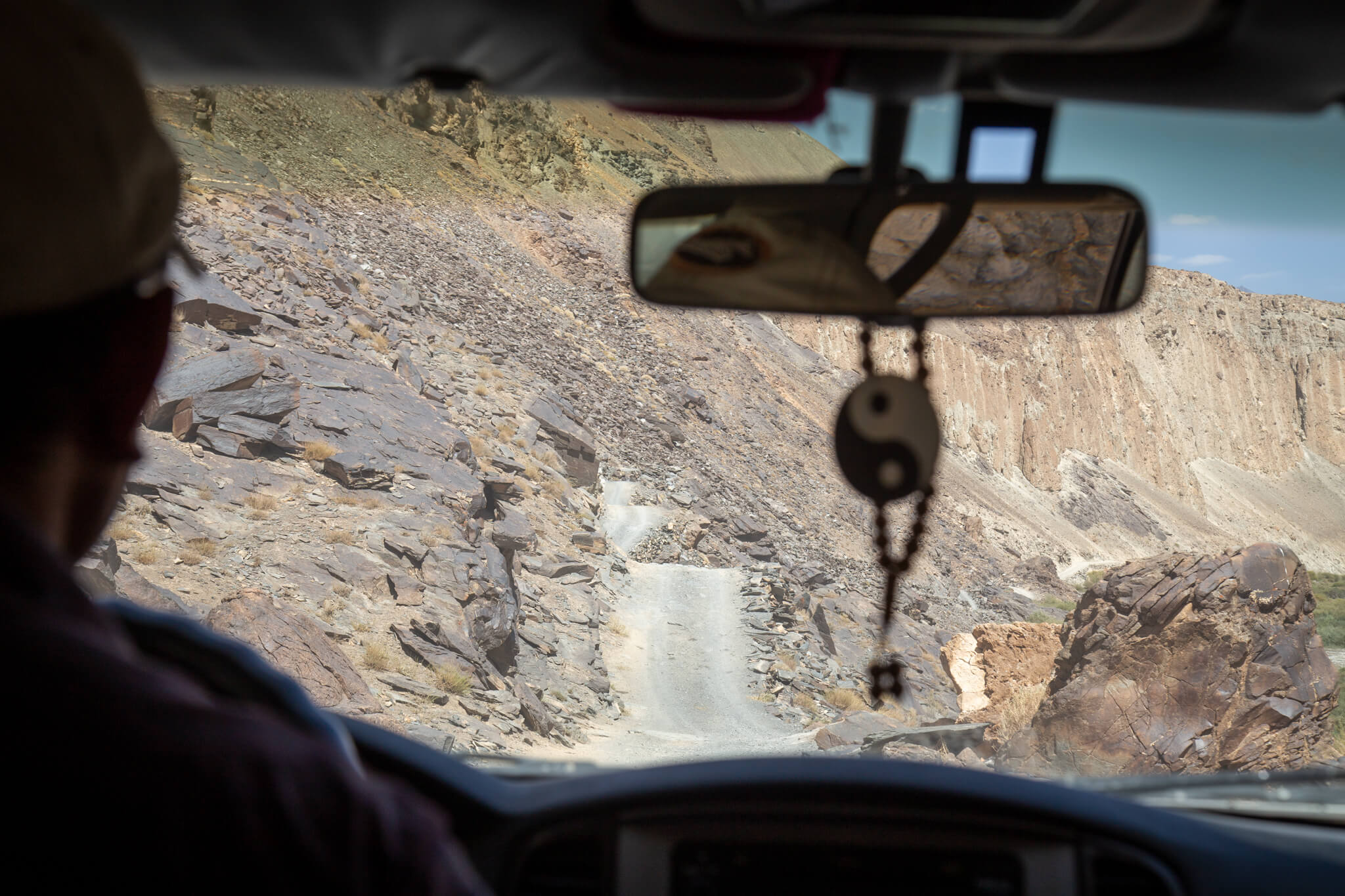
The track is as dangerous as it is exhausting. Sand, dust, fords, stones, wooden bridges… Our driver negotiates the obstacles with varying degrees of skill, often accelerating.
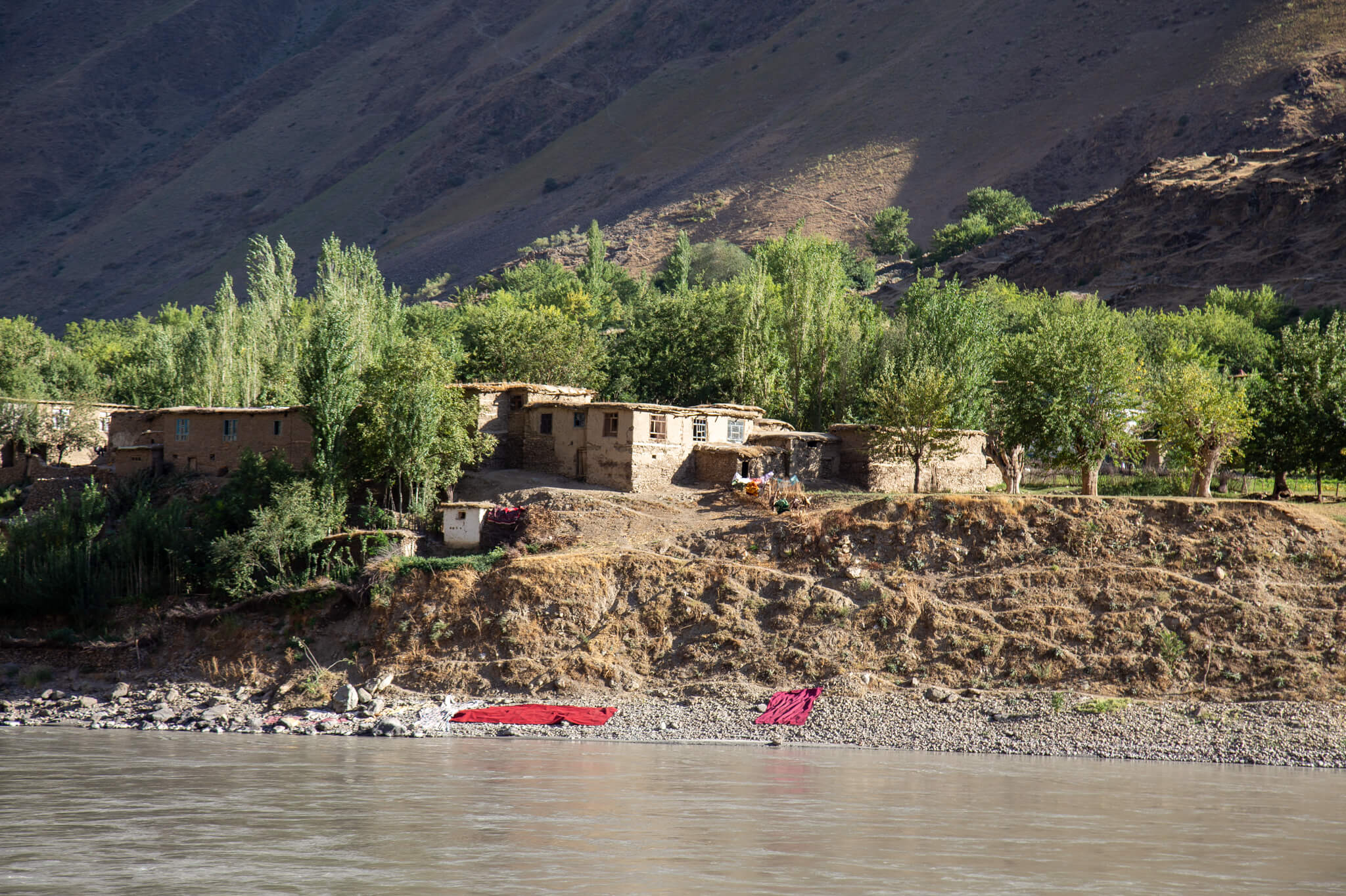
The only road to the Bartang valley to begin our expedition on the Fedchenko glacier runs along the tumultuous Piandj river (source of the Amou-Daria) for several hundred kilometers, marking the border with Afghanistan. From our car, we watch Afghan children playing, women hanging out washing and men working in the fields. Whether you live on one side or the other, irrigation is inevitable. In August 2021, the Taliban have just regained power in Kabul. A few hours after taking this photo, we spotted two Taliban 4x4s on the other bank, with their white flag on the roof.
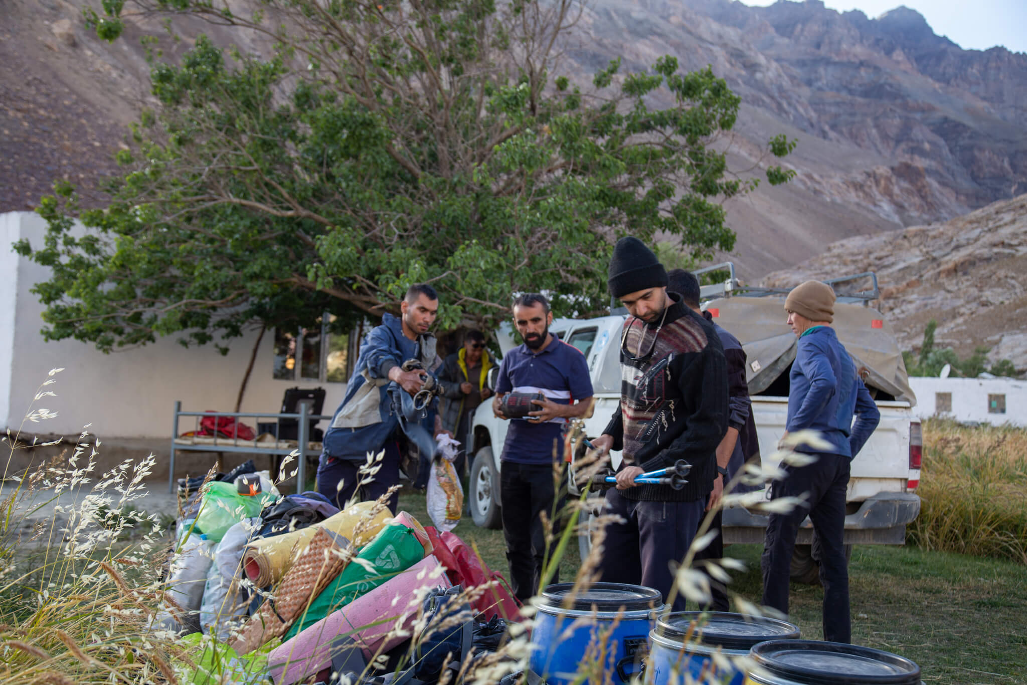
After two days on the road, the driver stops the engine of his Land Cruiser in the middle of the village of Pasor. We meet up with the team who will accompany us for the whole expedition. We divide up our gear and food, and check our equipment. We’ll be operating in total autonomy. That’s why we need porters to carry our food and all the electronic equipment we’ll need for the documentary. There are no refreshments or electrical outlets along the way. There are 9 of us in all: 5 porters, 1 local guide, Cédric, Christophe and me.
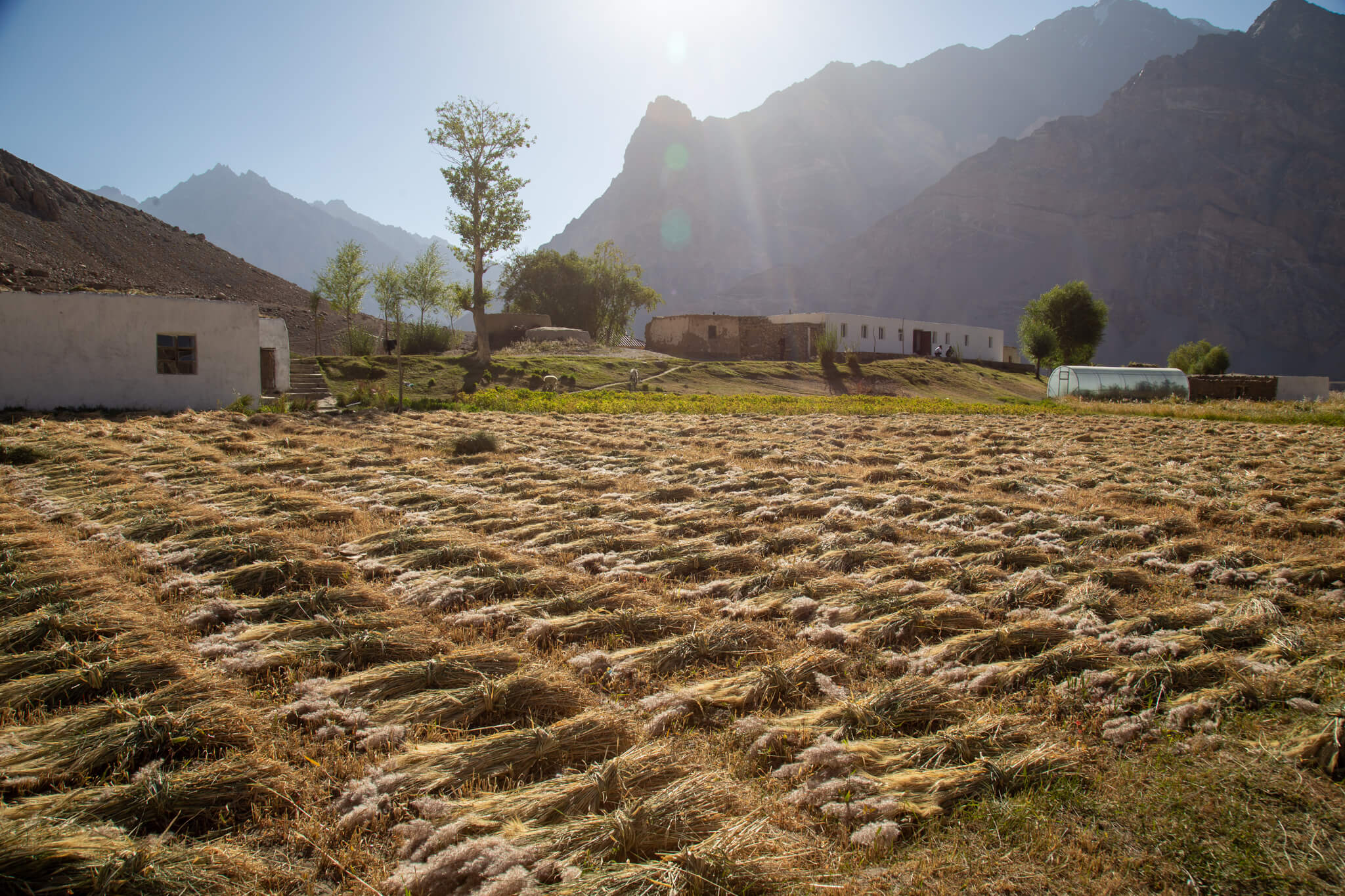
Pasor is a small village of 200 souls. The inhabitants here are Ismailis, a branch of Shiite Islam. They are a mountain people, hospitable and supportive. Growing wheat and vegetables in greenhouses and raising cows and goats enable them to survive in these isolated lands.
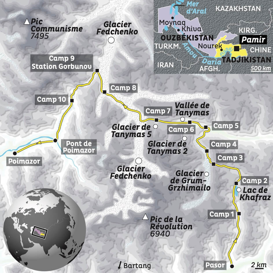
Our route to the Fedchenko Glacier. (c) Philippe Godefroy / Terre Sauvage
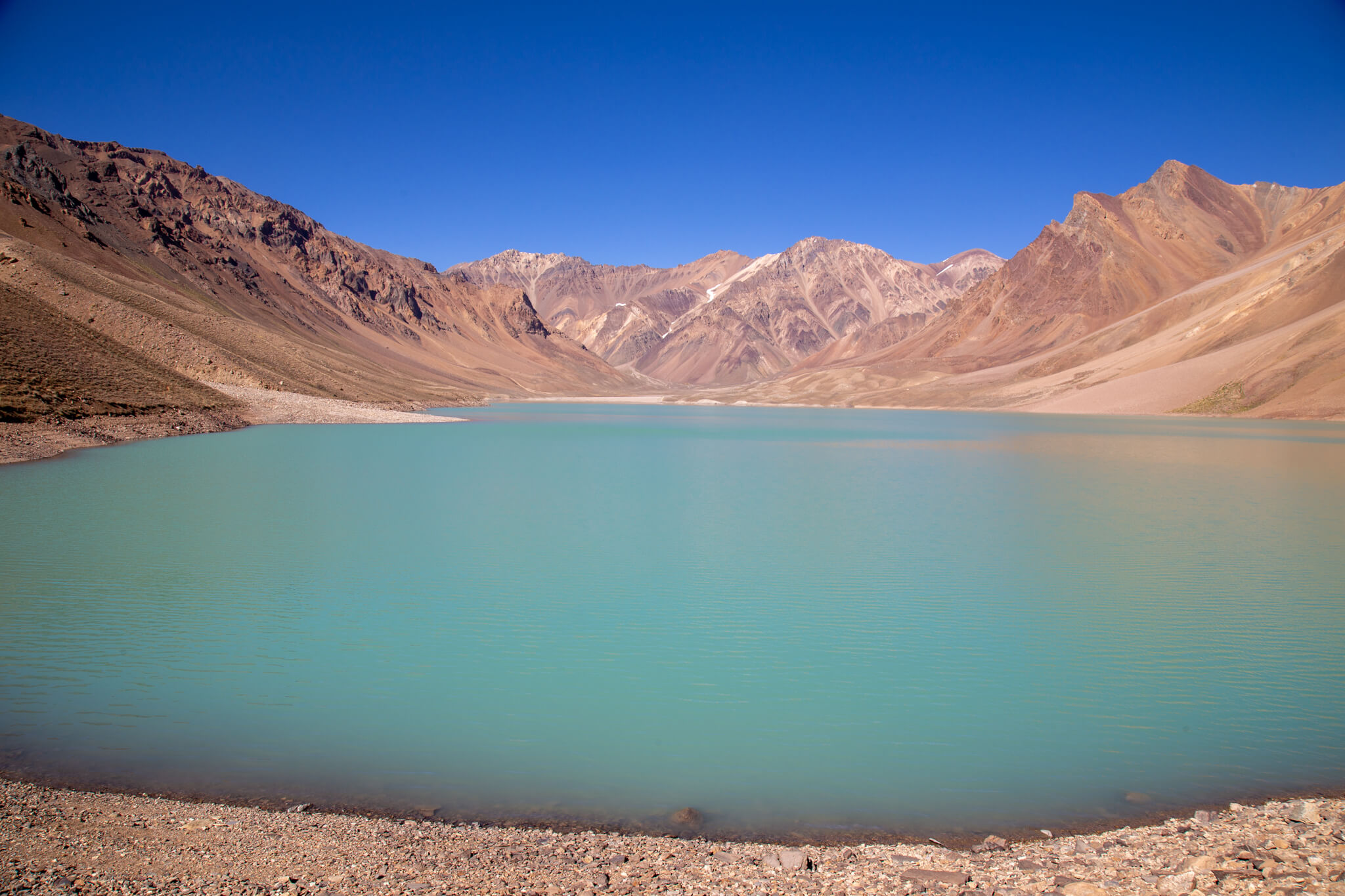
Departure of the expedition under blue skies. We set off for more than 2 weeks in the mountains and on glaciers. We reach Lake Khafraz, perched at an altitude of over 4,000 metres. Housed in a crater, its emerald-green color is surreal.
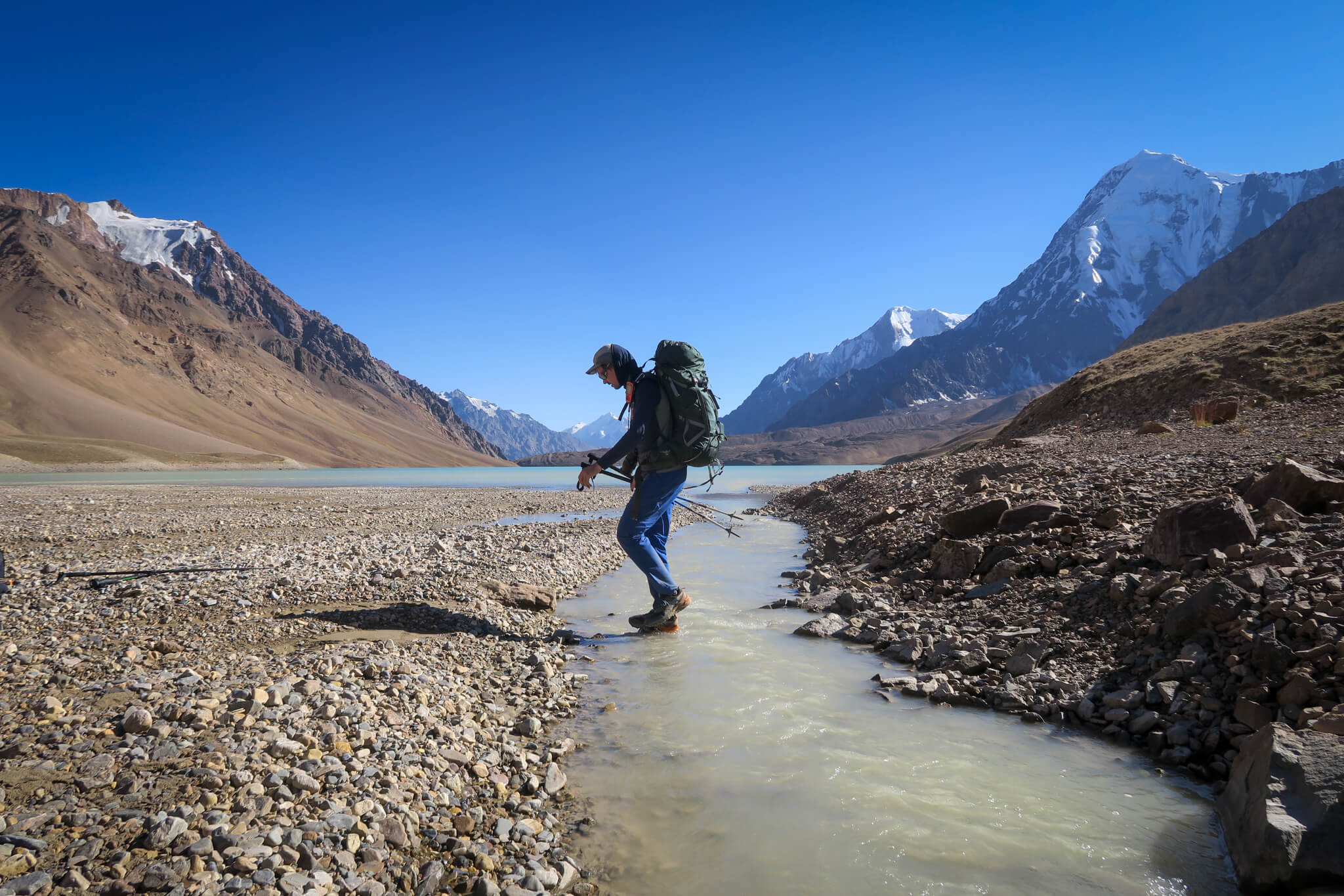
We start the climb slowly to acclimatize to the altitude and see how our little caravan works.
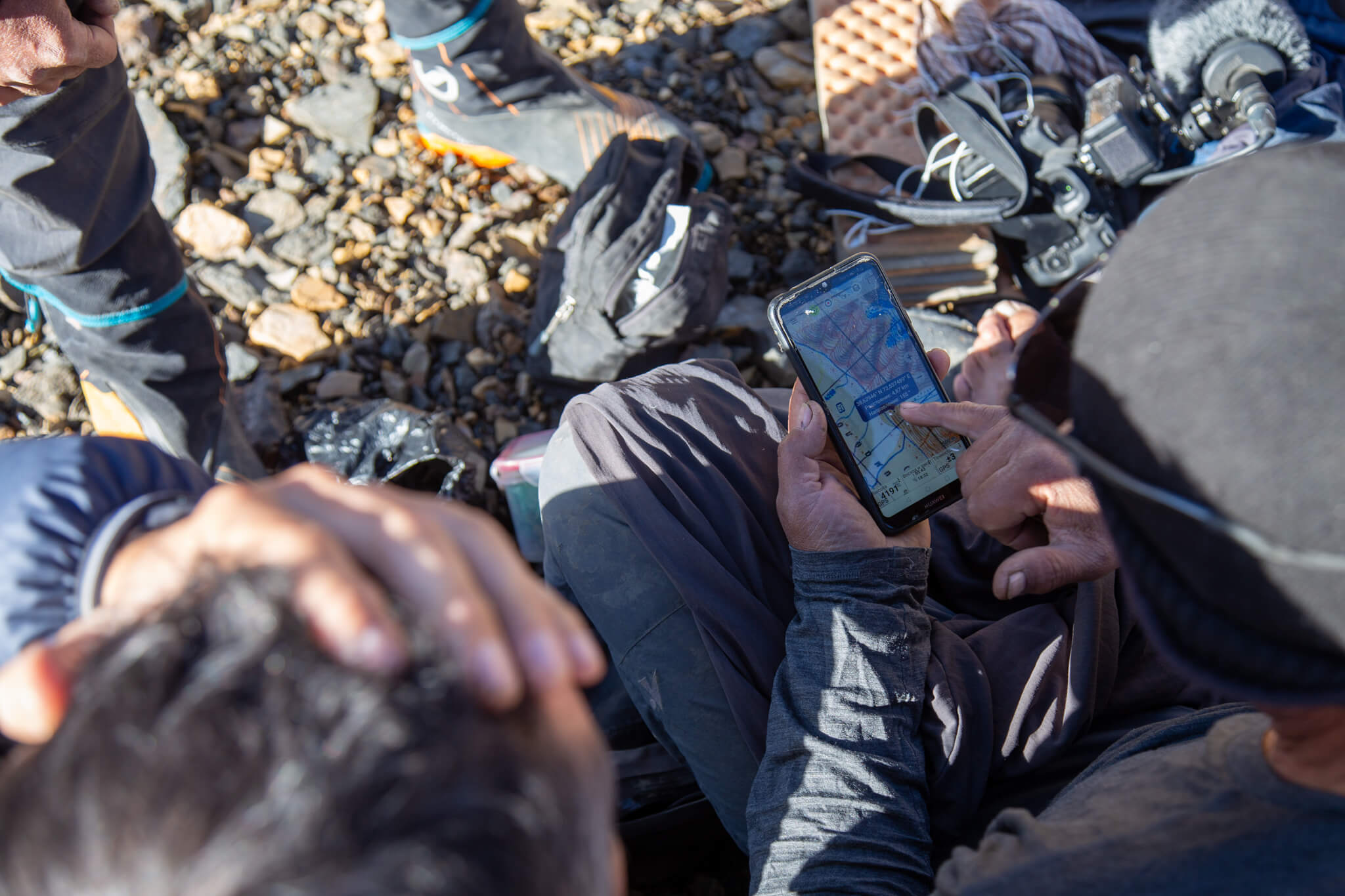
There are no trails here. It’s up to us to find our way to the Fedchenko Glacier.
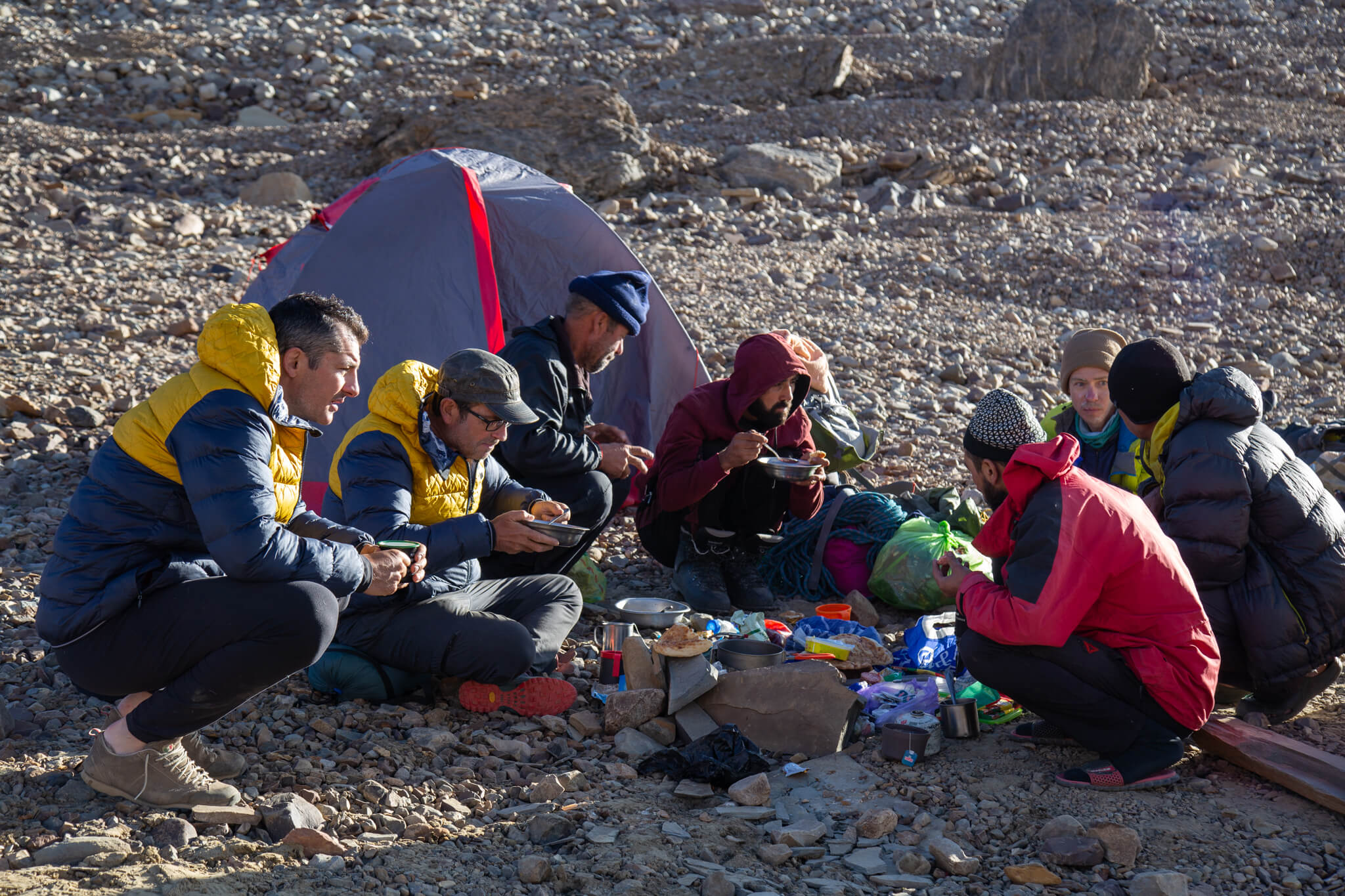
We are accompanied by Hakim, Hamid, Zarballi, Rachim and Simeon, five more or less neophyte porters, and by Anatoli, a seasoned mountaineer from the Soviet years. Some speak Tajik, others Russian or various Pamiris dialects. Cédric is a perfect Russian speaker, which facilitates our exchanges with the group.
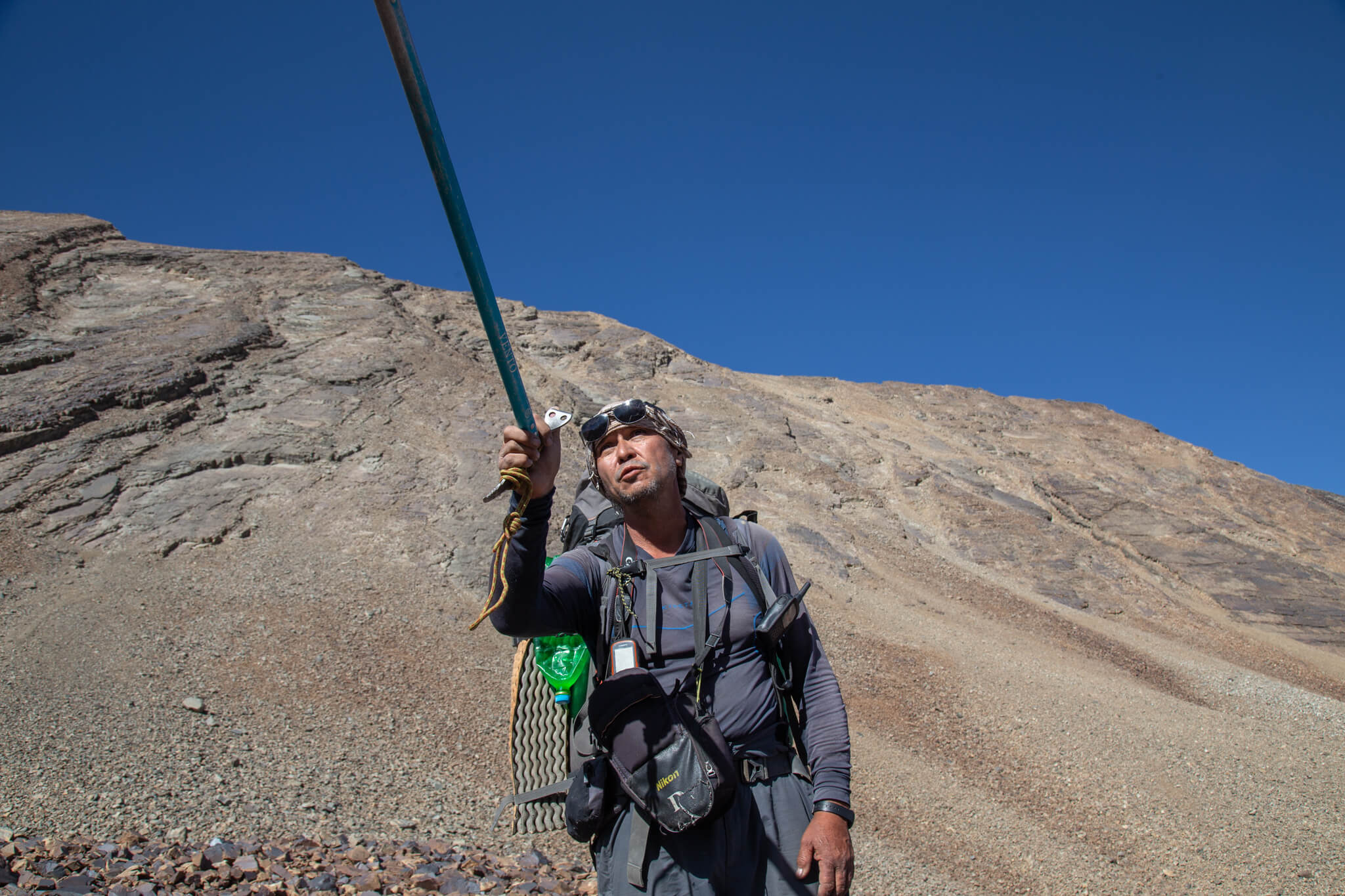
Anatoli is the only person who knows the route to the glacier. He’s been there a few times.
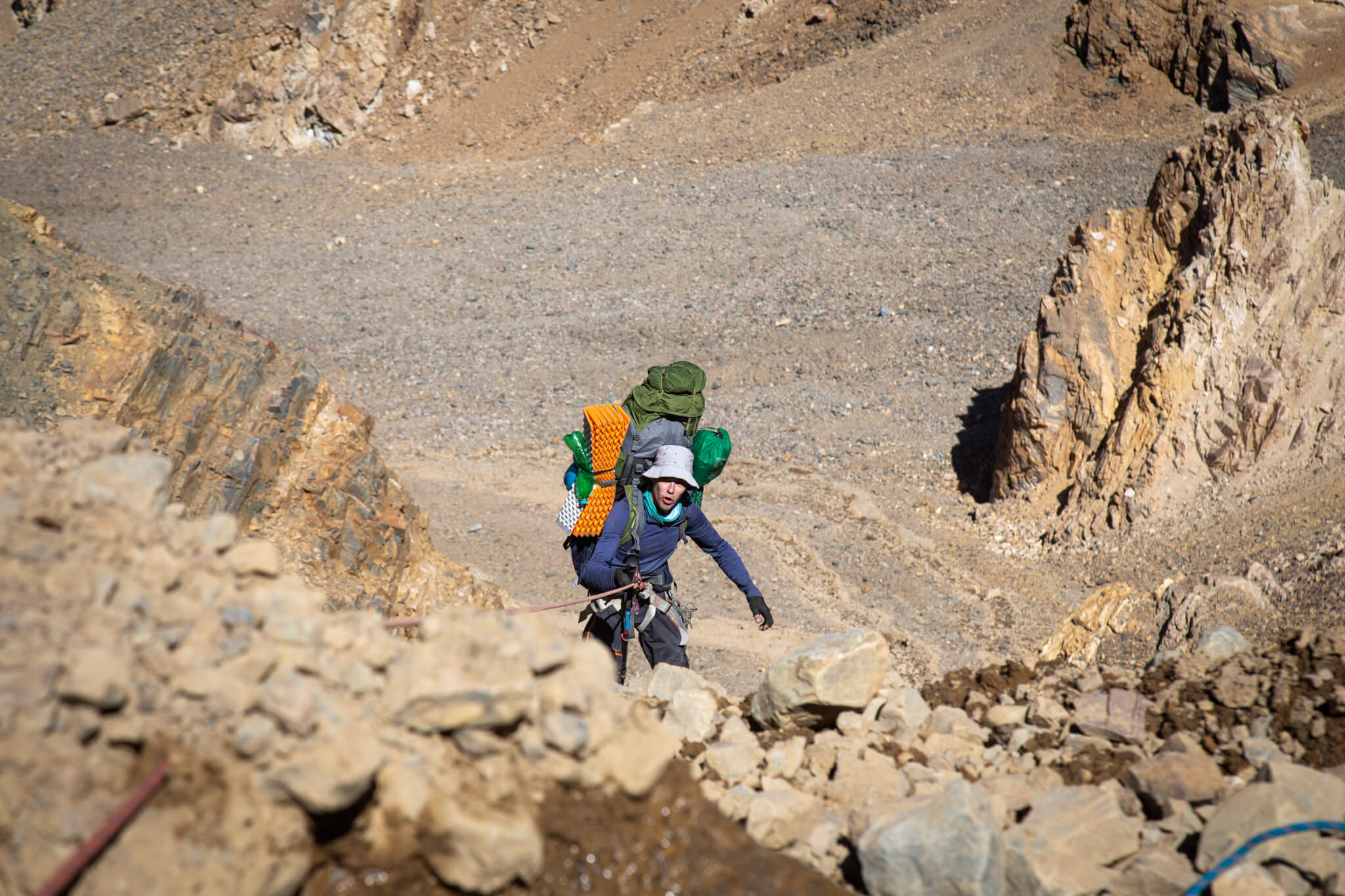
A 60-metre abseil on a steep slope. We descend carefully, one by one, holding the rope firmly in our hands. The ground is so loose that our passage loosens stones as big as rucksacks, which smash into the bottom of the slope in a great cloud of dust.
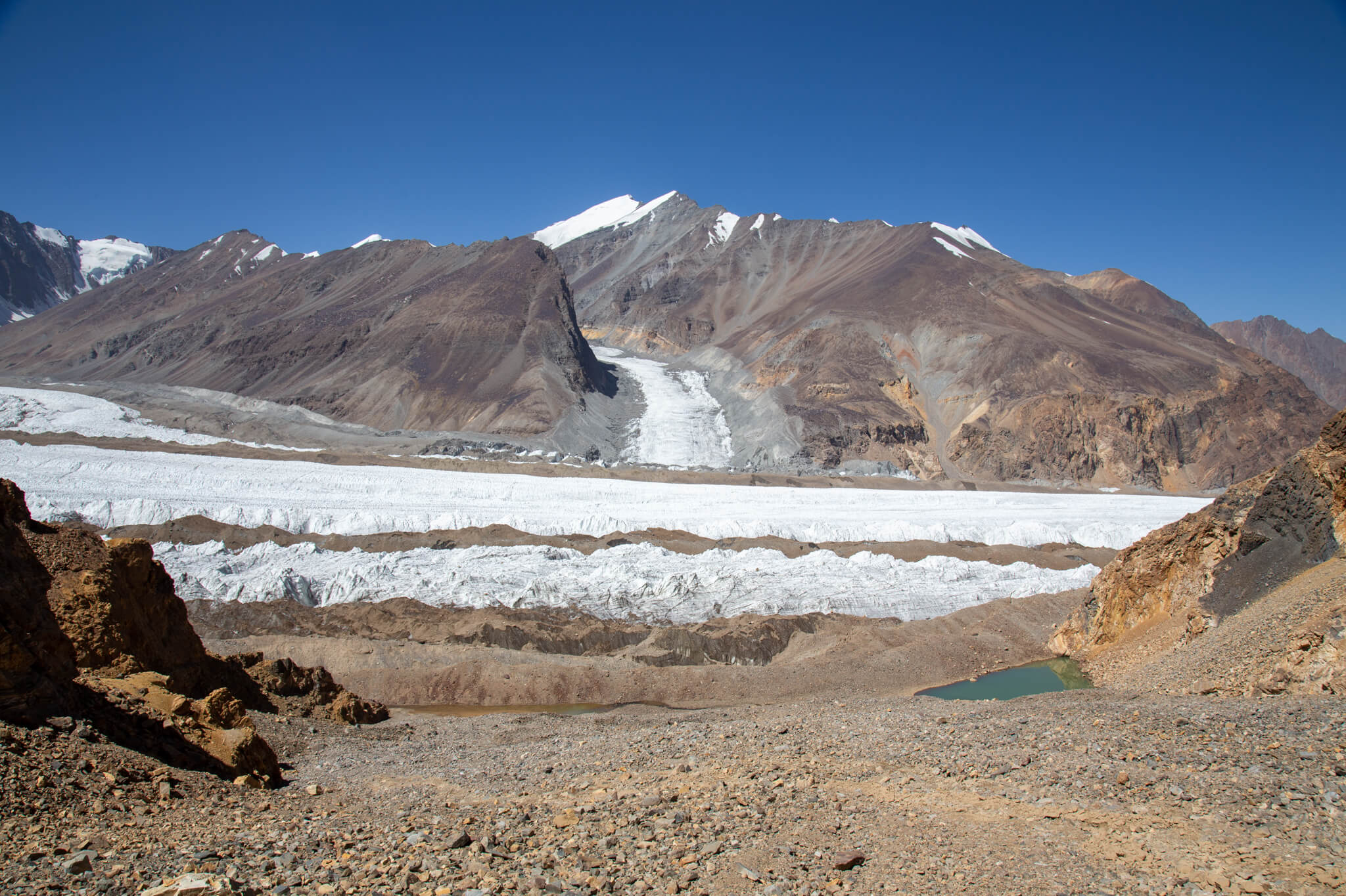
In the distance, the immense tongue of the first glacier. This is Grum Grzhimailo, flowing between two ochre-coloured mountainsides.
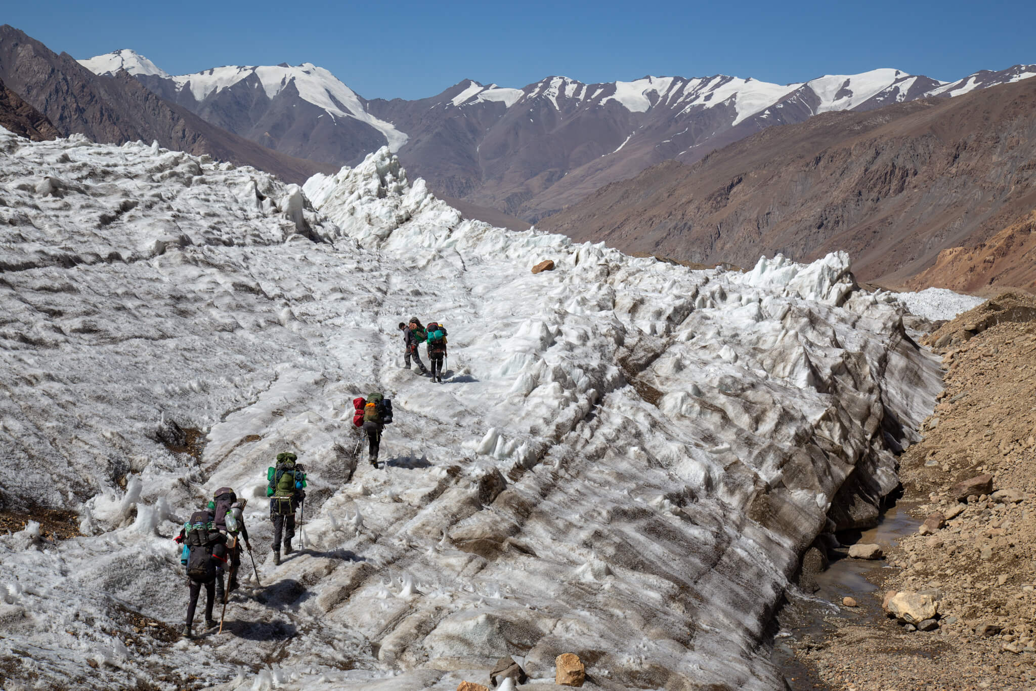
We set foot on Grum Grzhimailo: a colossus of ice on which it’s not easy to find your way. Anatoli leads the way, looking for a way through the chaos.

The glacier flattens out, giving us a glimpse of the next valleys.
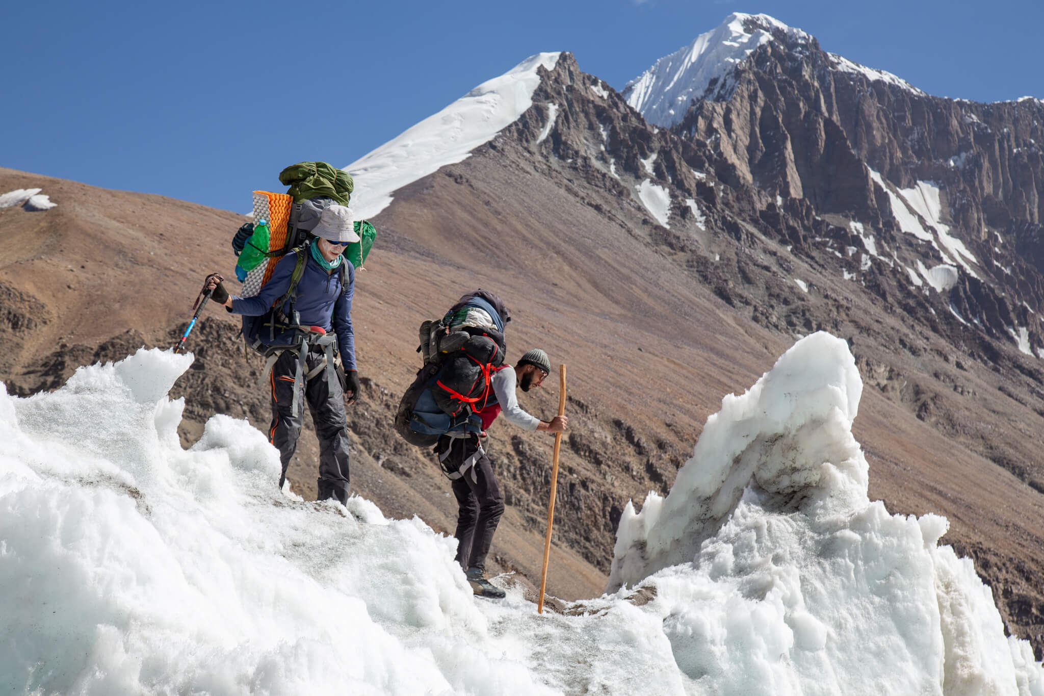
We take small steps to avoid slipping. We have to be very careful, as there is no mountain rescue service in Tajikistan.
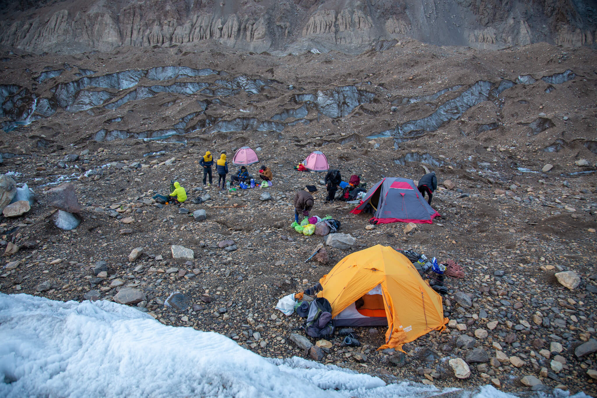
When evening comes, we try our best to find flat ground on which to set up camp. Before pitching the tent, we have to dig down, remove the biggest stones and cut the ice with our ice axes.
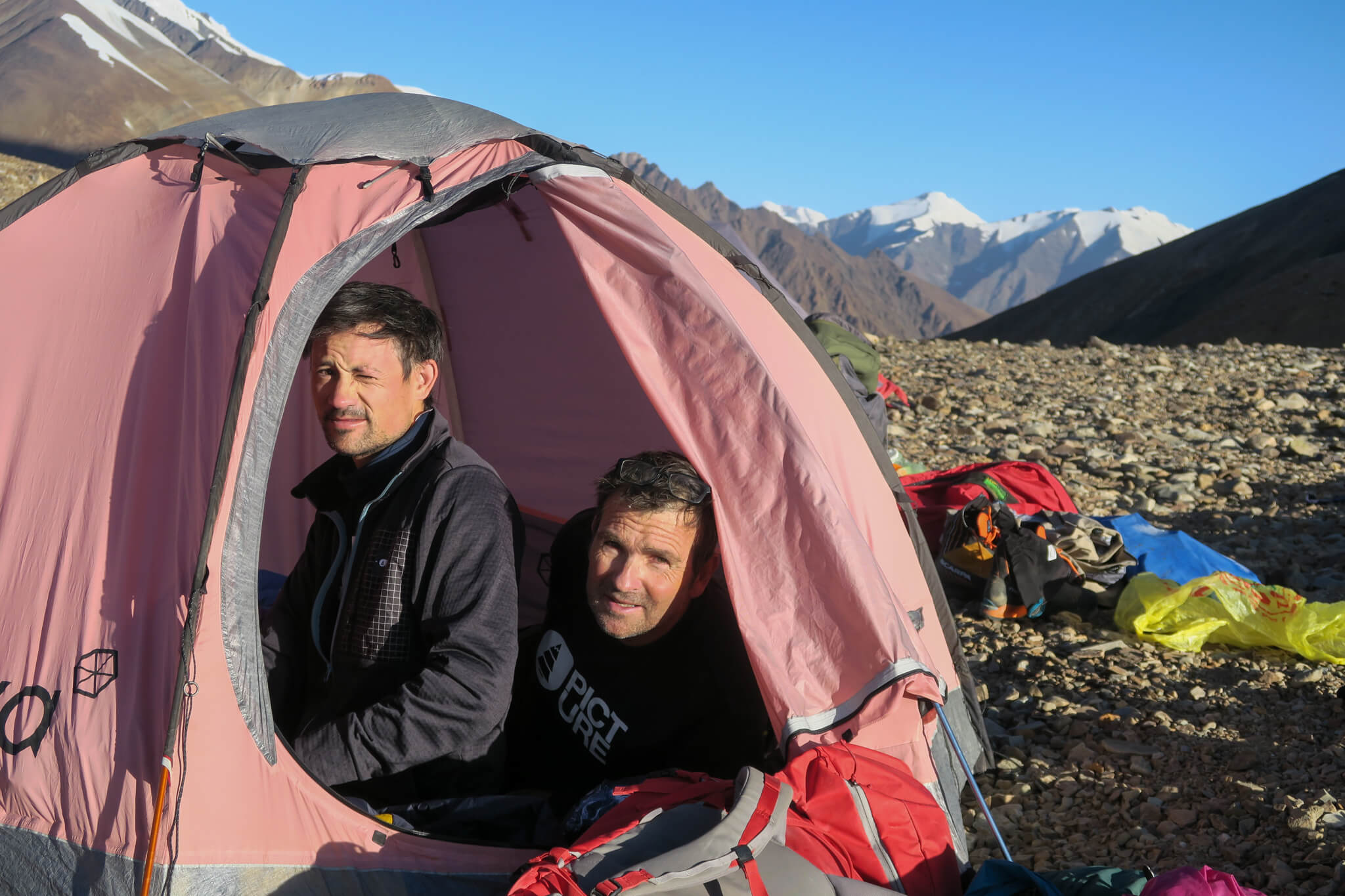
At night, the thermometer dips below 0°C. So in the morning we’re glad to see the sun again. I share my tent with Christophe Raylat. He’s the one who captures all the images of our adventure to tell the story in a documentary.
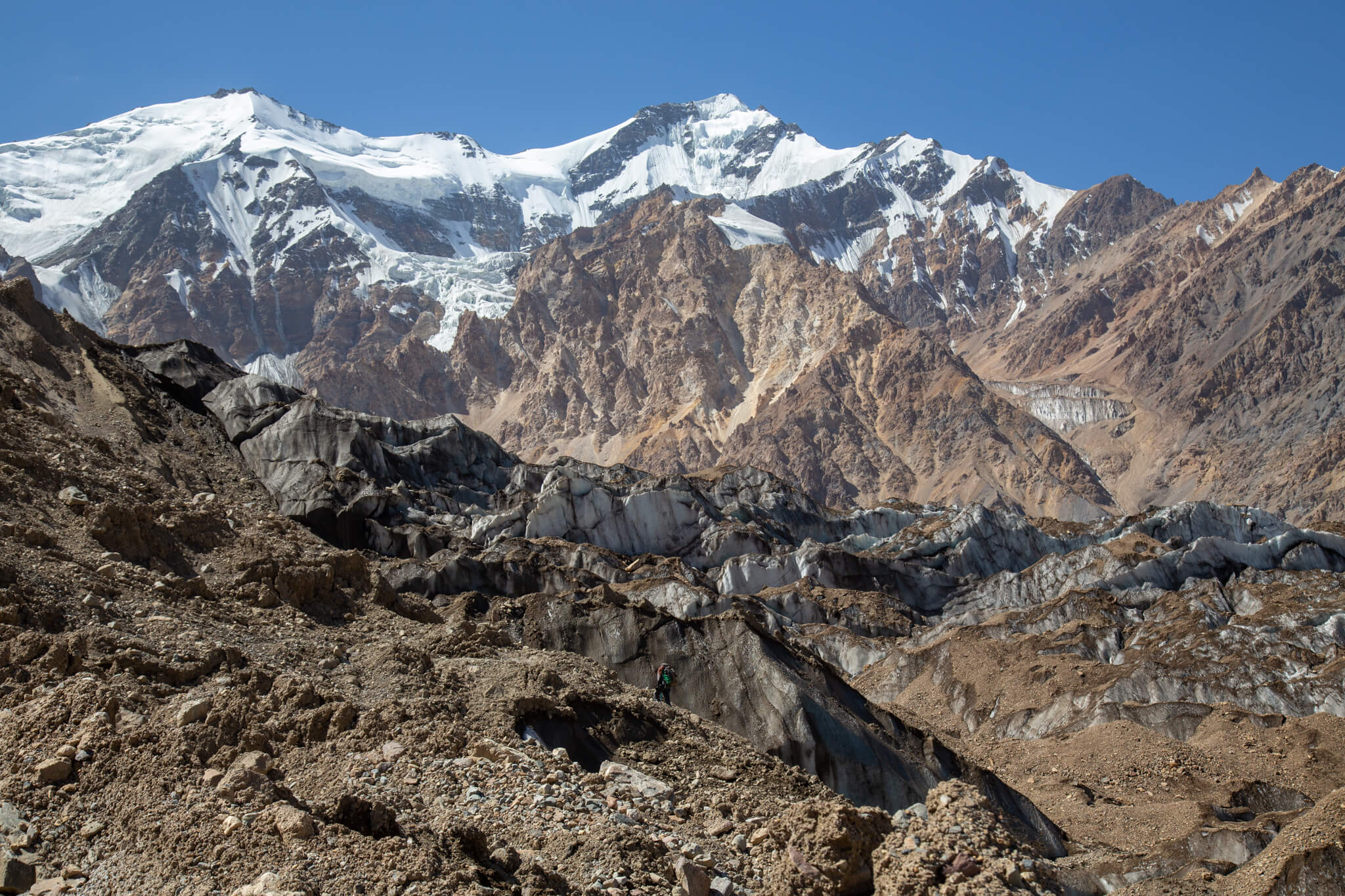
The bottom of the glacier is covered in stones and pebbles. Slowly, we try to find our way out of this labyrinth of seracs and unstable moraines. Anatoli draws his route through the chaos’s weaknesses, in the dust that rubs shoulders with the purity of the ice.
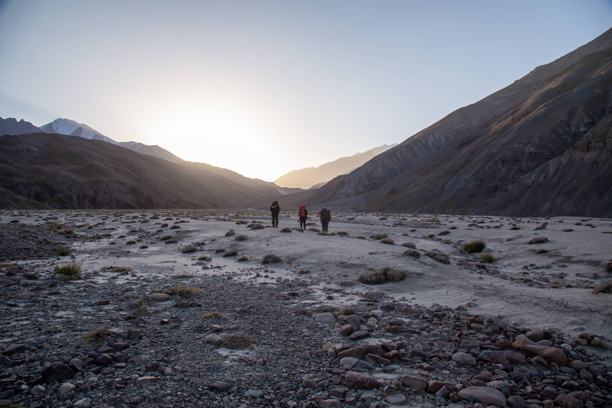
When we finally emerge, we arrive in a green valley: the Tanimas Valley. At an altitude of 4,000 metres, we regain some vegetation and walk with a little more ease on this more hospitable terrain.
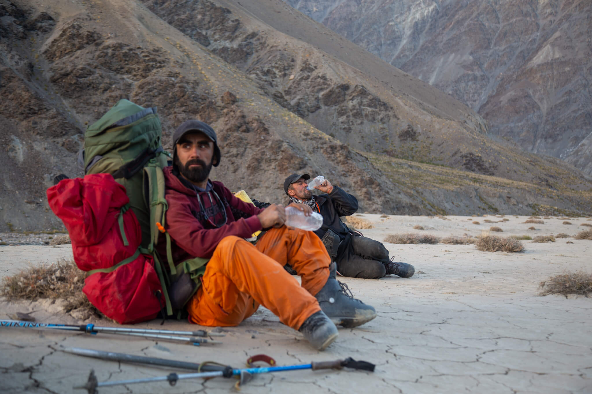
We’ve been away for 6 days. The porters are carrying heavy backpacks. They are overloaded with useless belongings and abundant provisions. Soviet mountaineering was heavy, expedition mountaineering. Traditions die hard, especially as light equipment is inaccessible here. In fact, there are hardly any mountaineers left in Tajikistan.
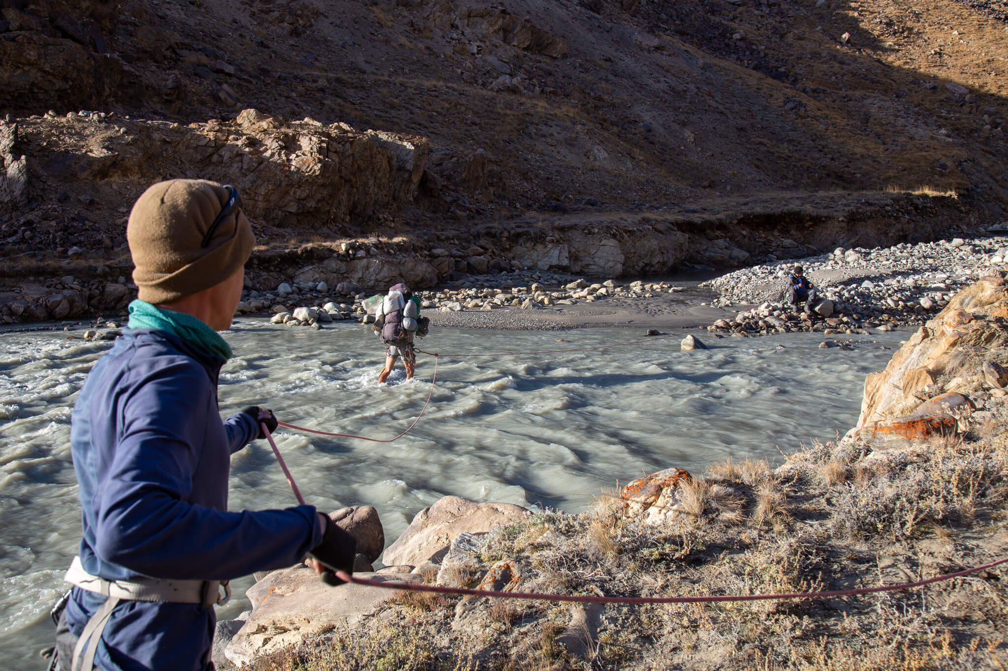
The valley runs alongside several glaciers that feed a very powerful river. We have to cross it in the early morning when the water level is not too high, as the glaciers are less exposed to the sun.
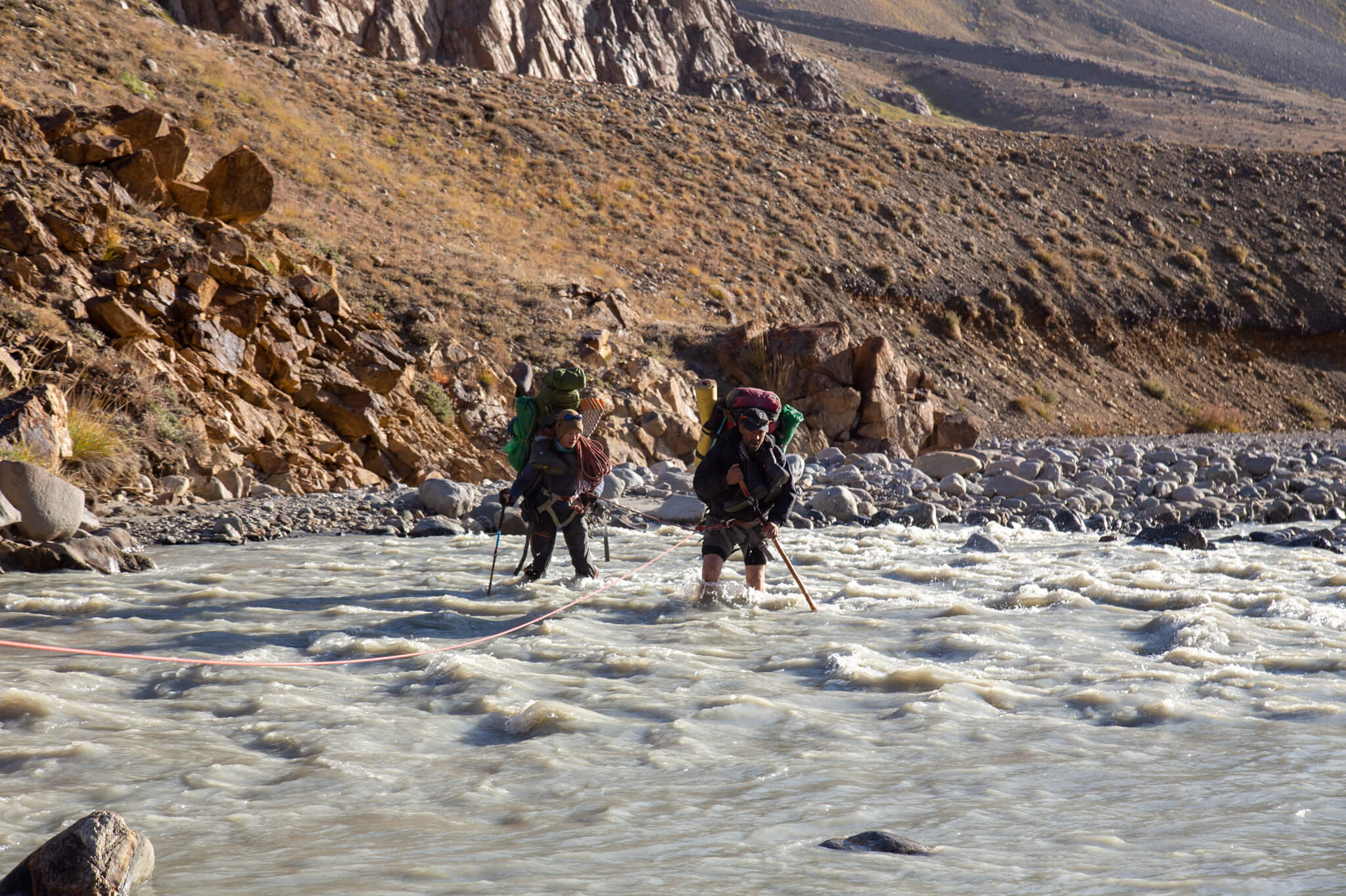
The water is icy cold. Sometimes it’s waist-deep. We have to move forward gradually, without fighting the current or risk being swept away.
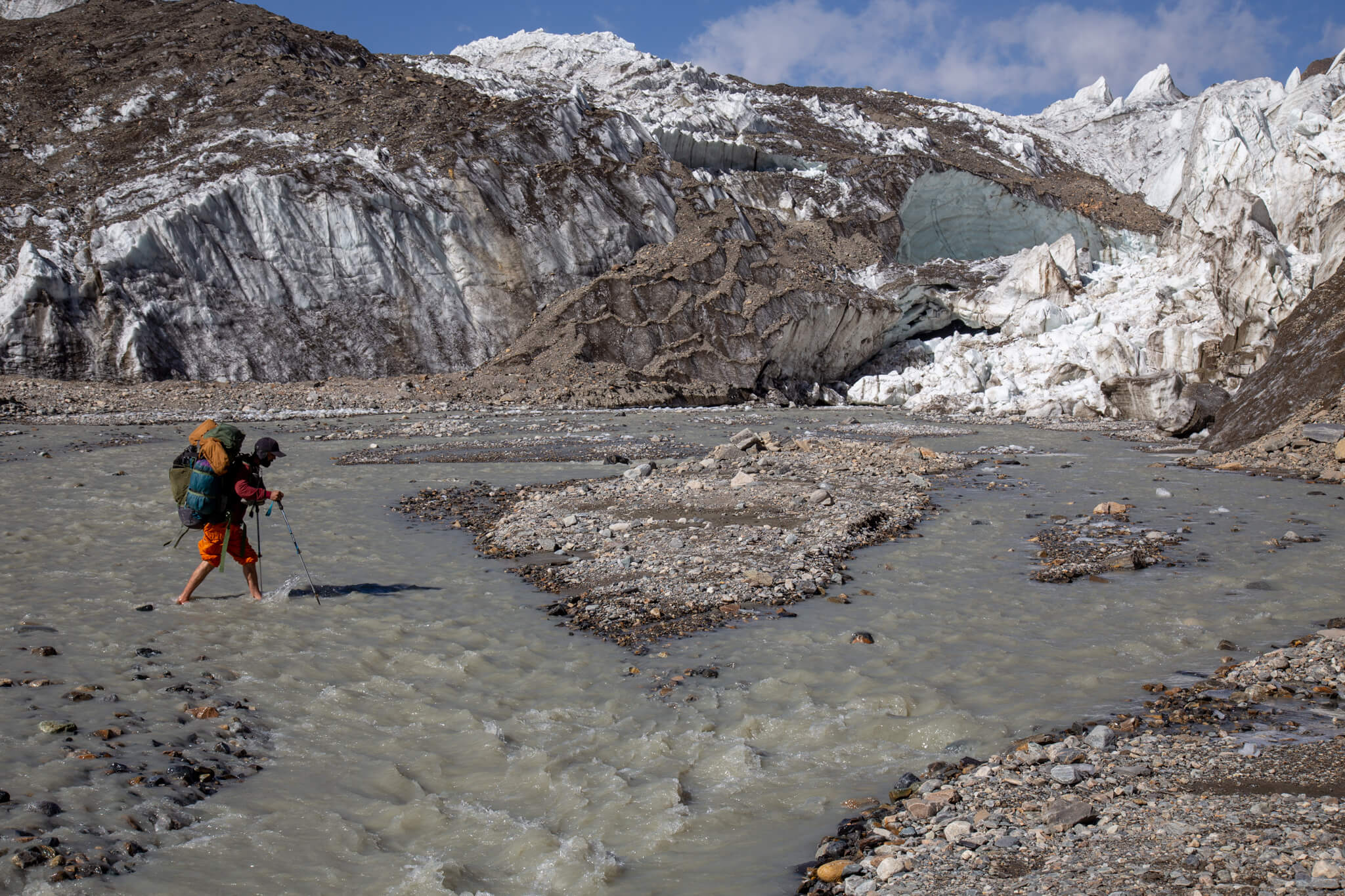
In early summer, it’s impossible to walk up this valley because of the water level. The Fedchenko is definitely well guarded, but it’s getting closer – another 2-3 days’ walk…
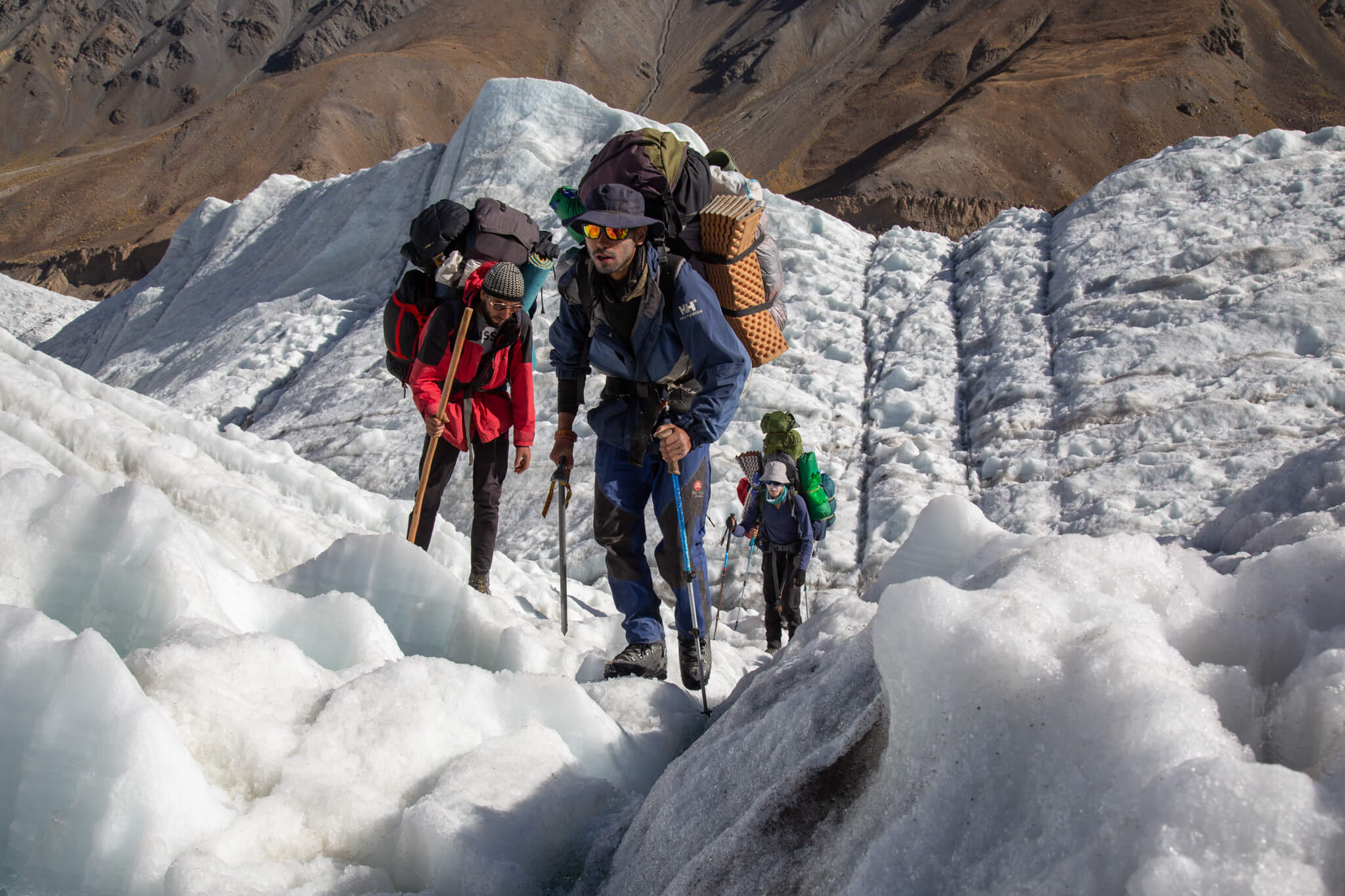
The Tanimas 3 glacier closes off the entire valley. Cautiously, we make our way across the thin crevasses that fracture it.
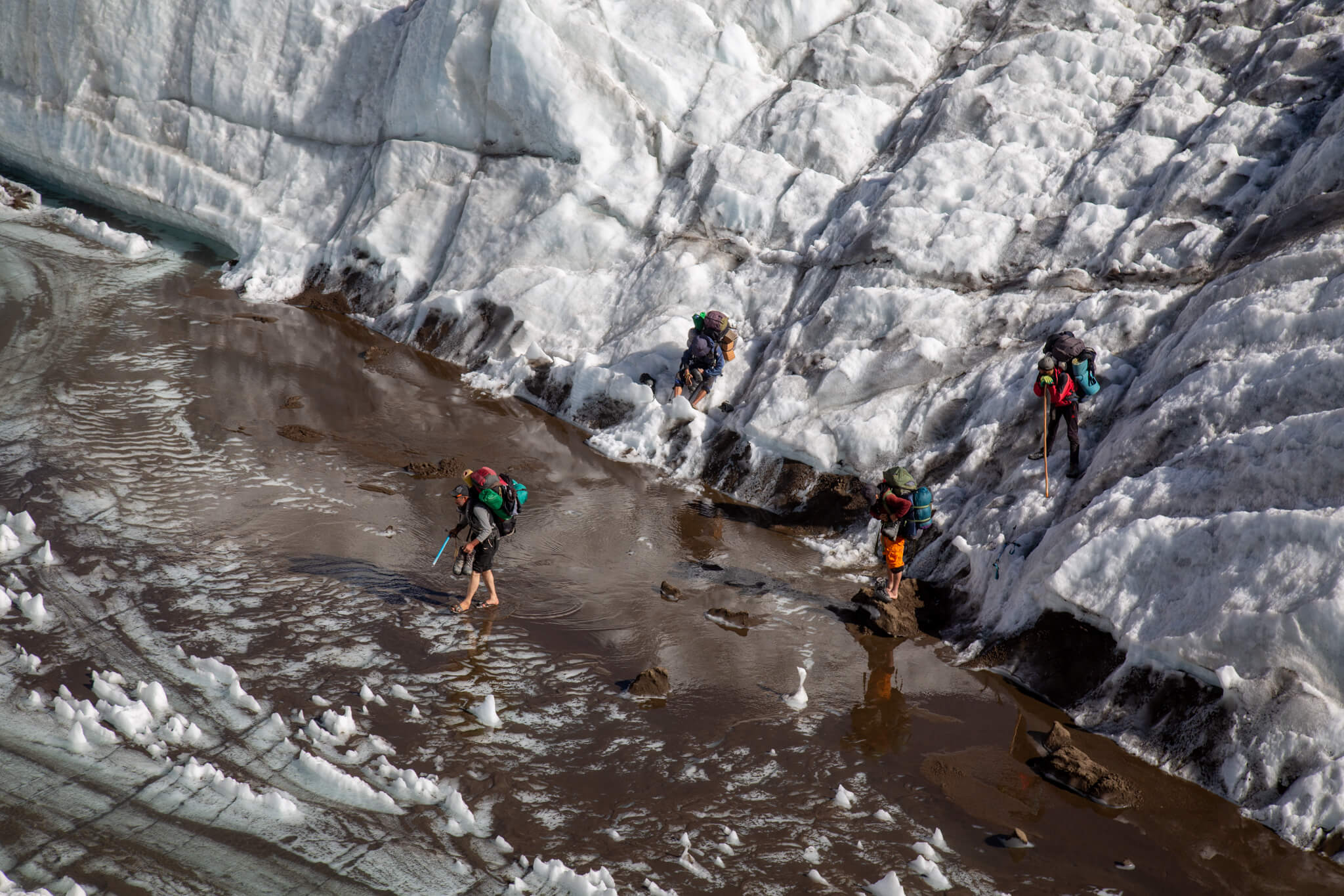
The glacier is streaked with rivers of meltwater. The water finds its way and in places forms small reservoirs that we have to cross.
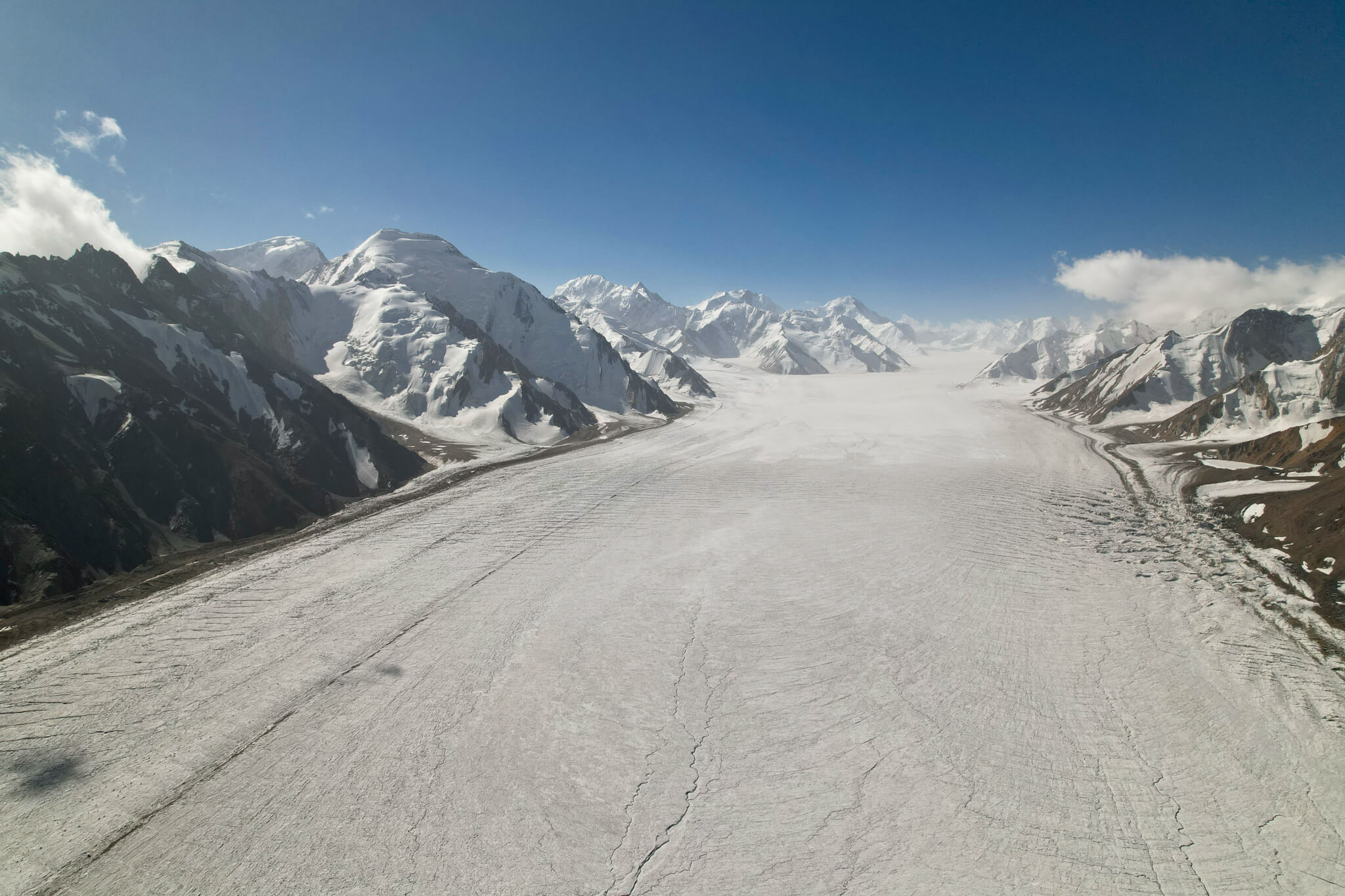
At last, the Fedchenko Glacier! We approach it 30 km downstream from its accumulation basin. It’s a 77 km-long ice monster, making it the longest mountain glacier in the world! Its mass is equivalent to ALL the glaciers of the Alps combined. It is surrounded by mountains peaking at over 7,000 metres.
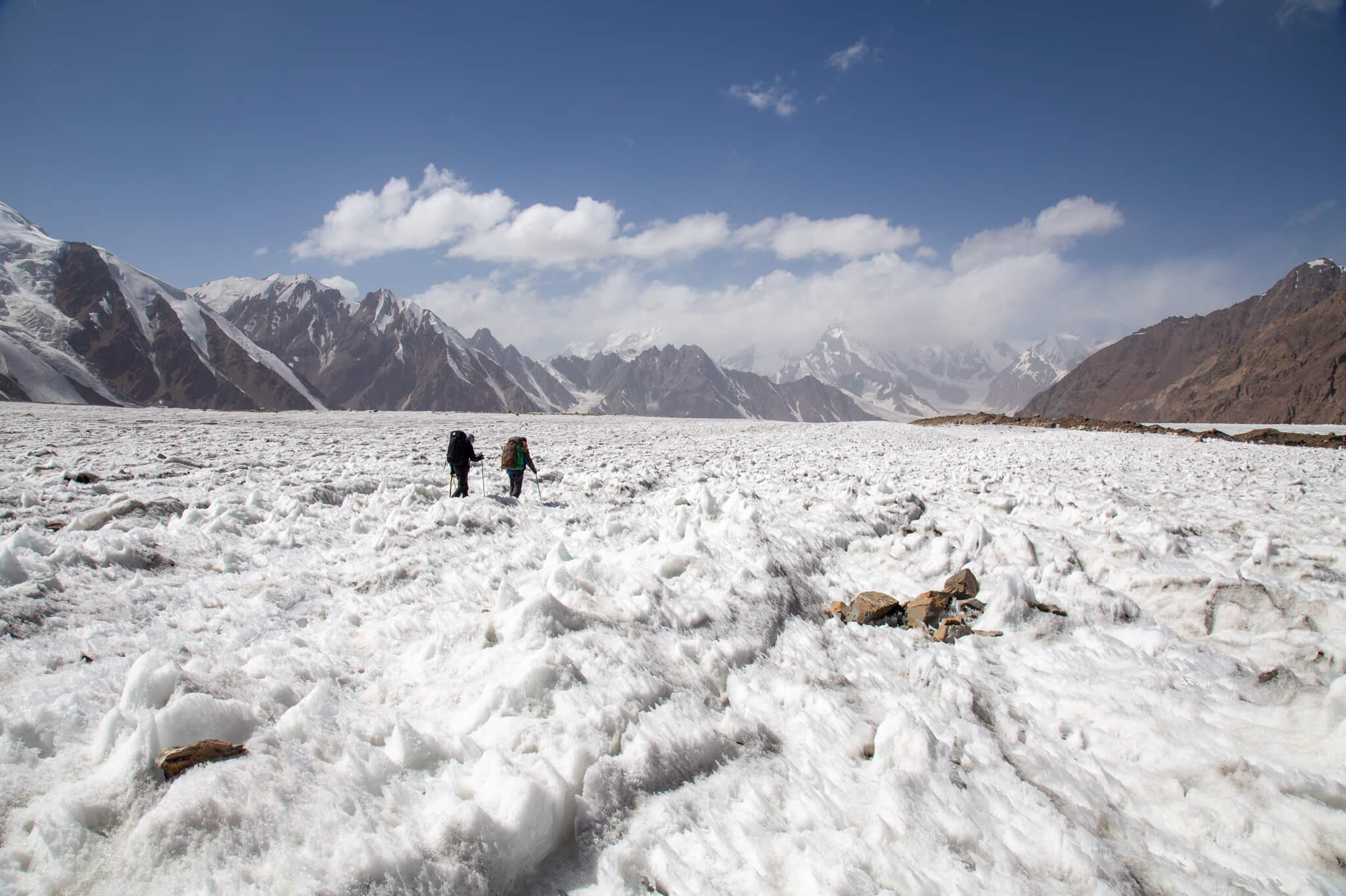
We descend the glacier for some twenty kilometers. Although the glacier is sometimes quite flat and allows us to make fast progress, we are regularly slowed down by crevasses and rivers of meltwater running through it.
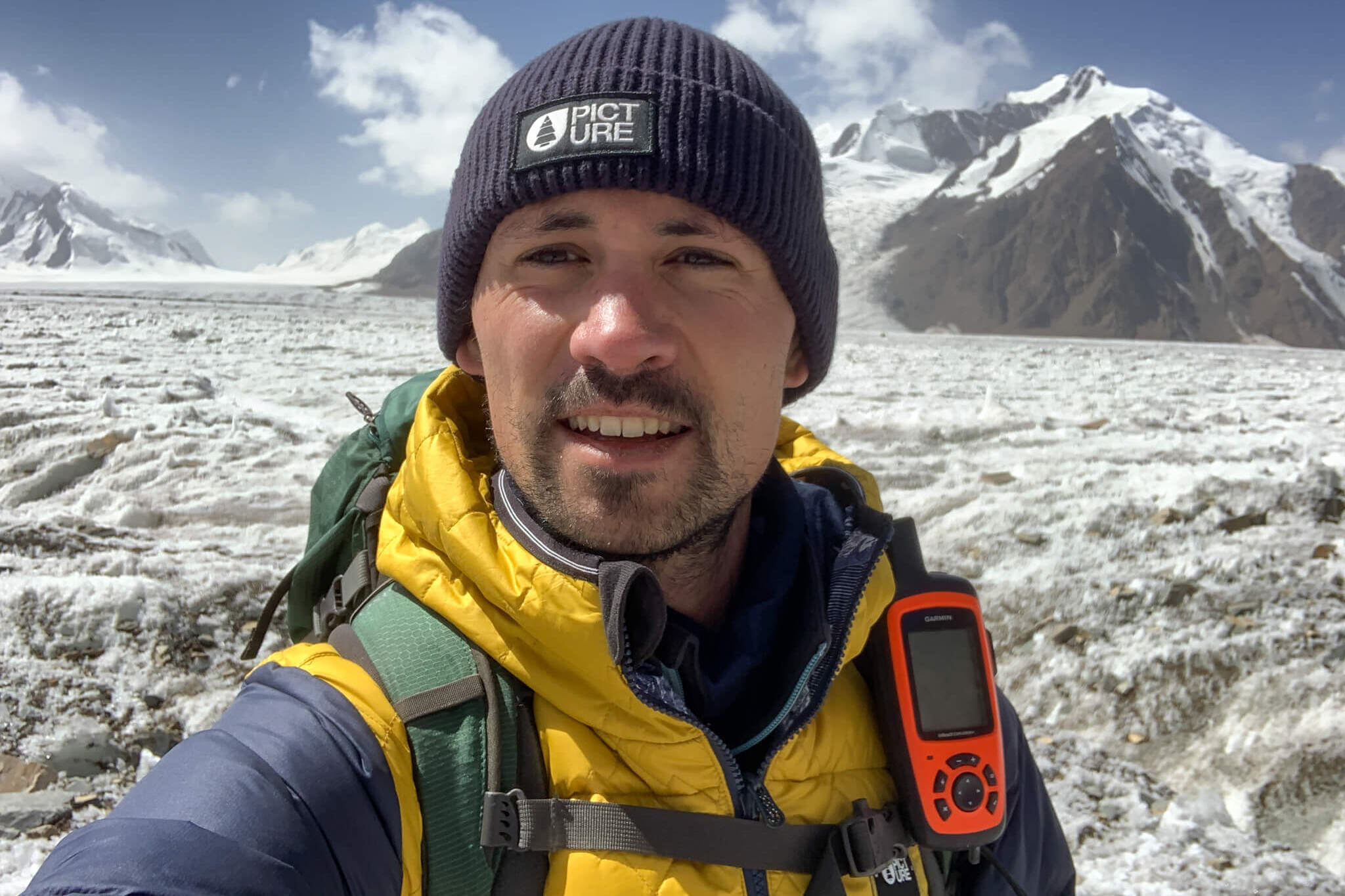
Beneath my feet, up to 1.5 km thick. The tongue of ice snakes as far as the eye can see, draining a gigantic massif. The glacier is so large that it reminds me of a polar ice cap.
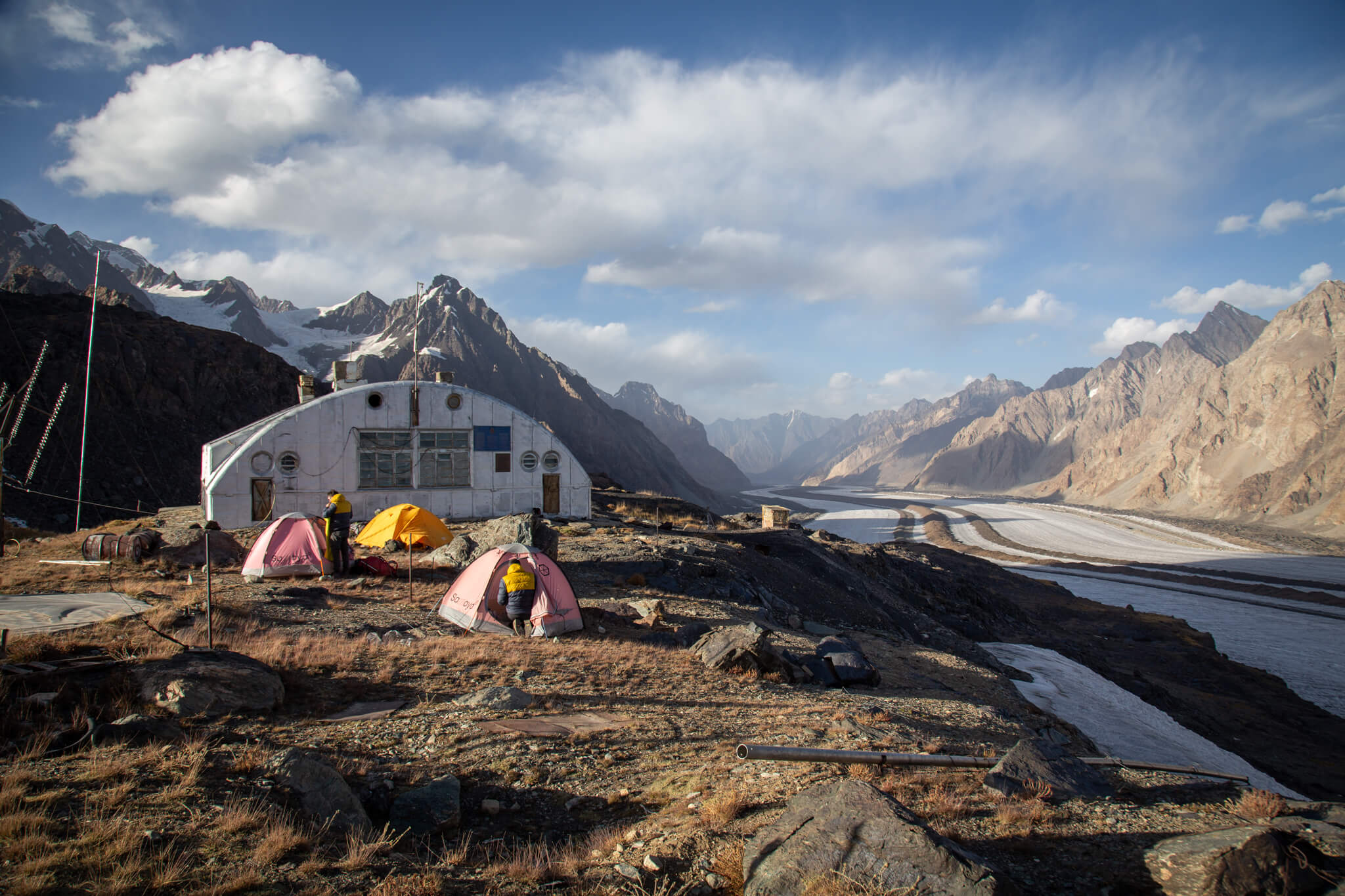
On the tenth day, we reach our goal, the Gorbunov scientific station. Built by the Soviets at an altitude of 4,230 metres during the International Polar Year of 1932, this now-abandoned weather station overlooks the Fedchenko Glacier. 4 people came to work here for a year (from November to November) to take meteorological readings: measuring temperature, precipitation, wind speed… With communism came the idea of advancing science.
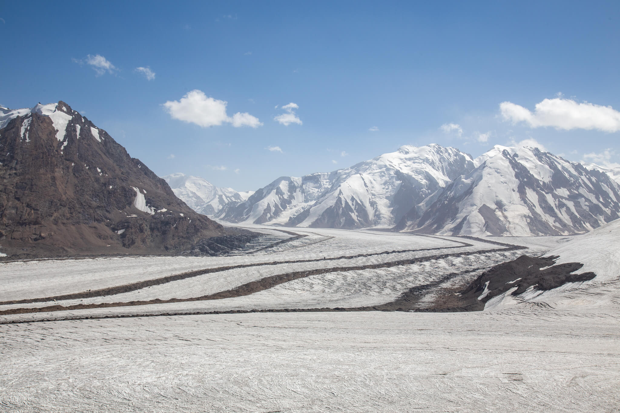
The Fedchenko Glacier and all the other glaciers of the Pamir are the water towers of Central Asia. They are gigantic reservoirs of fresh water that feed all the rivers downstream. Without them, it would be impossible for people to live in these desert regions.
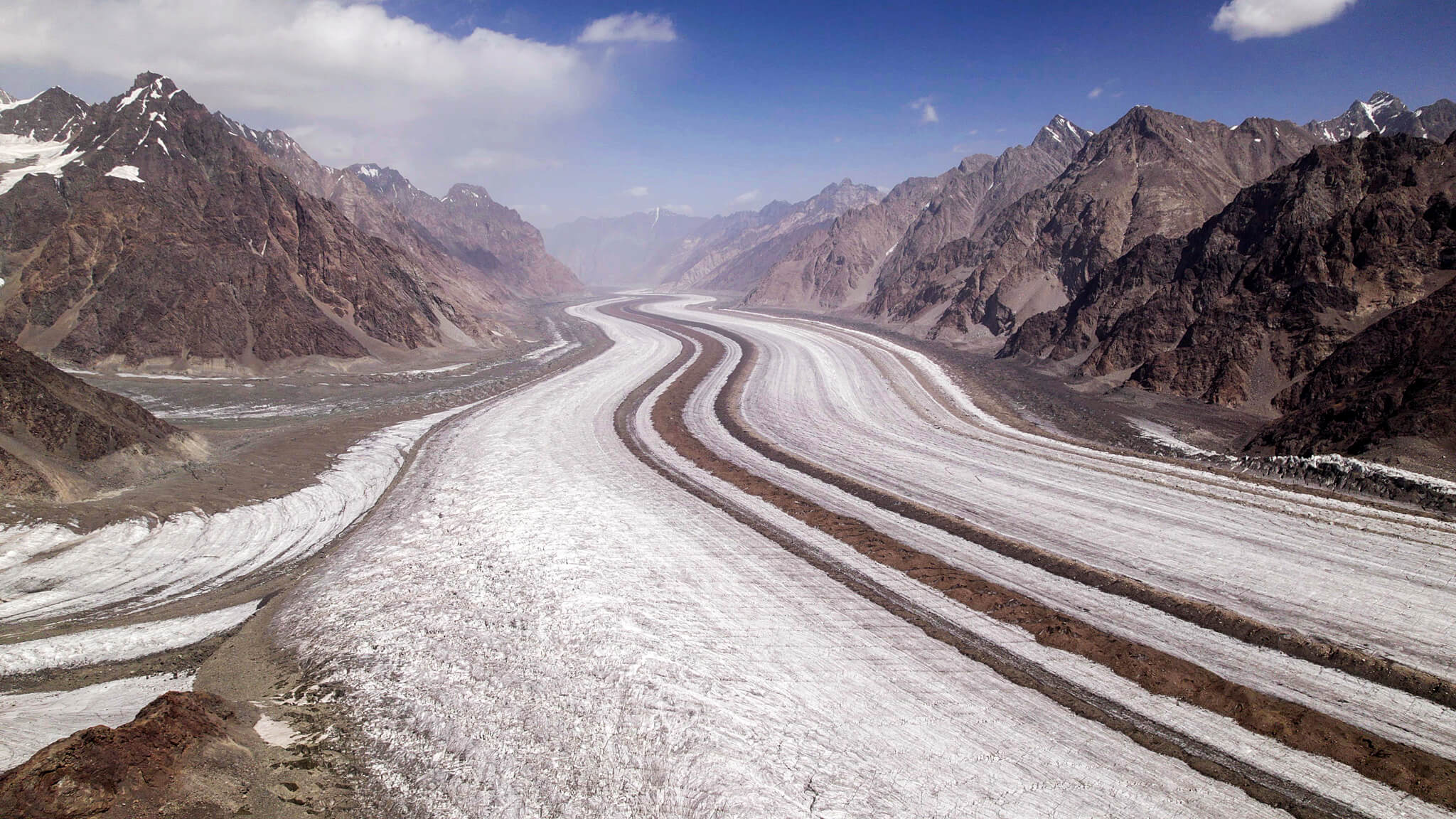
The Fedchenko is the longest mountain glacier in the world. That is, outside the polar ice caps, where glacier tongues can reach up to 400 kilometers (Antarctica). Over the last 80 years, the Fedchenko tongue has retreated 755 meters, with a total mass loss of 3.8%. Although global warming is making itself felt here as elsewhere, the massive melting has not yet begun. Within the next 2-3 decades, however, all the glaciers in the Pamir region are set to thin. This will first result in an excess of water in the valleys, and then in their inevitable drying up. If water consumption continues to rise in Central Asia, the end of the 21st century could see dramatic shortages.
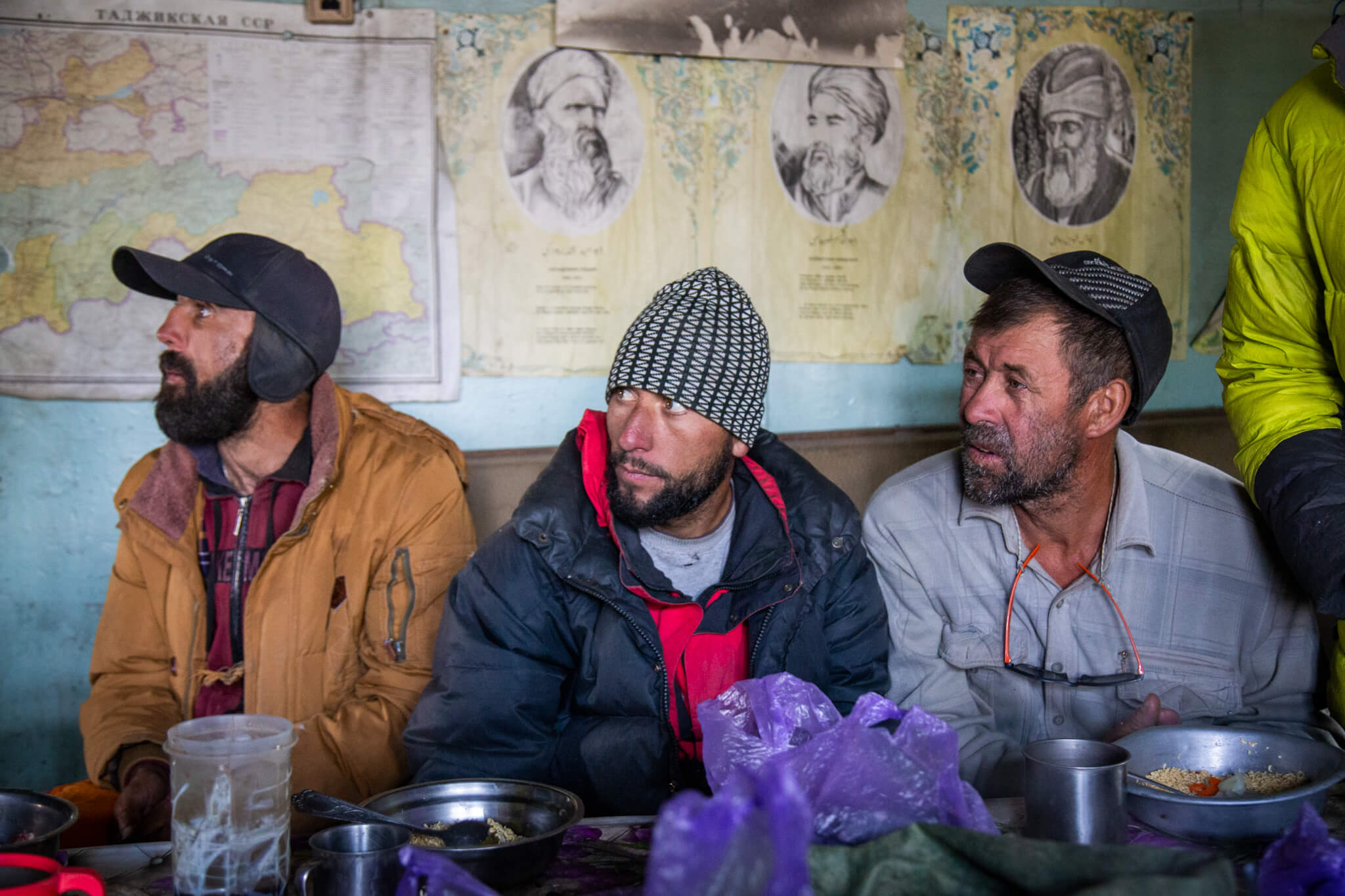
We take possession of the premises and our meals around a table, which is a small event after 10 days sitting on the ground. Tonight we sleep on site. Some in tents, others on the dusty mattresses still in the rooms…
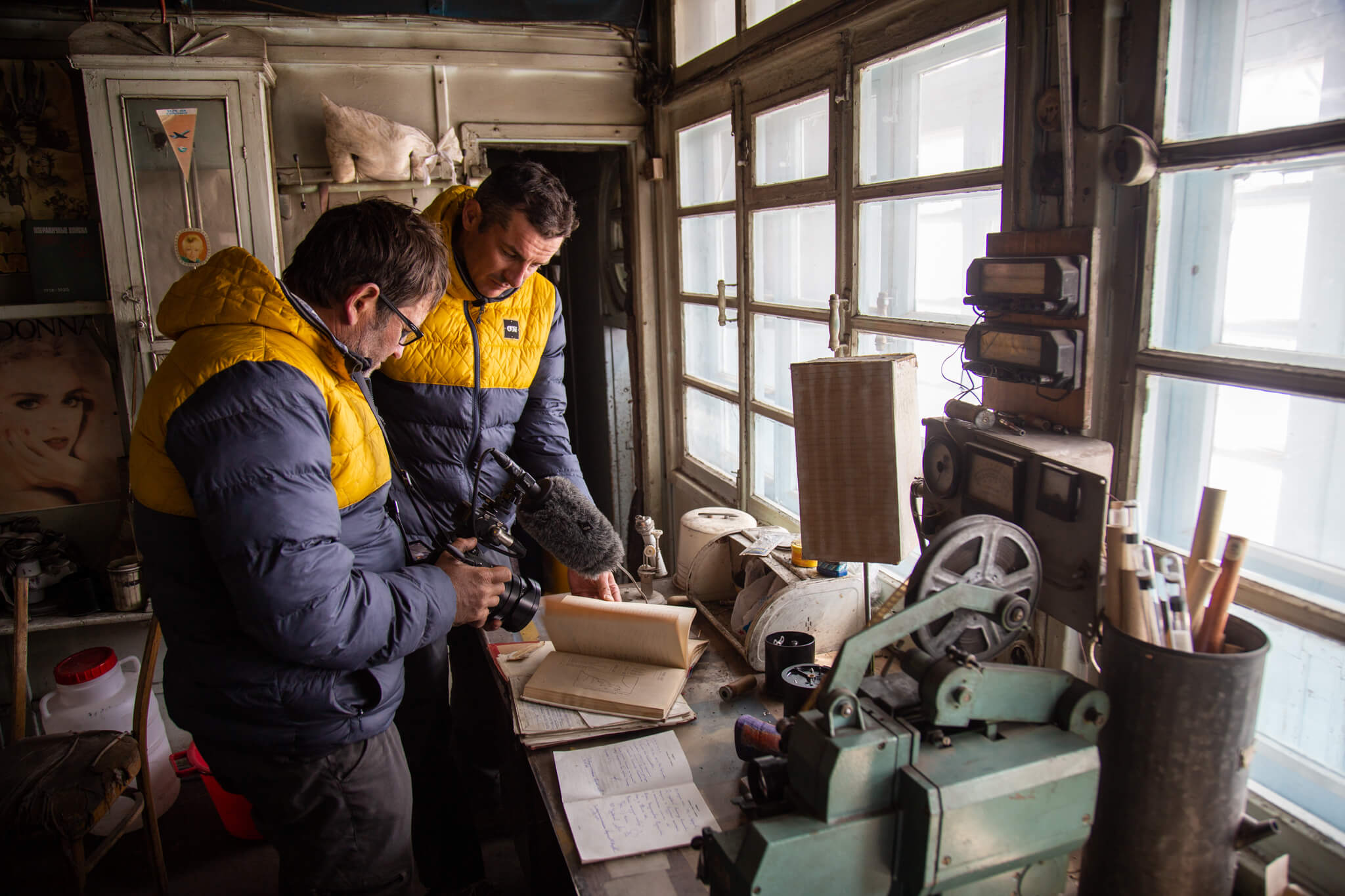
The station has remained unchanged since it was abruptly abandoned after the collapse of the USSR, with its measuring equipment, library, radio… The Soviets were well aware of the importance of these glaciers for life in Central Asia. A colossal reservoir that we’d like to believe will last forever, and which today stands in stark contrast to the drying-up of the Aral Sea, 2,000 kilometers away.
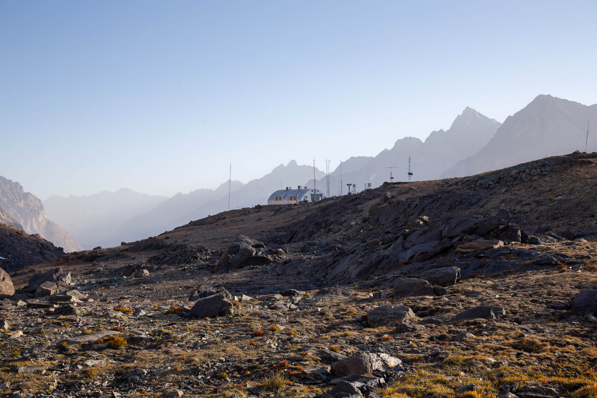
Today, an automatic weather station has been installed. The data it returns is crucial for observing the state of the Pamir’s glaciers.
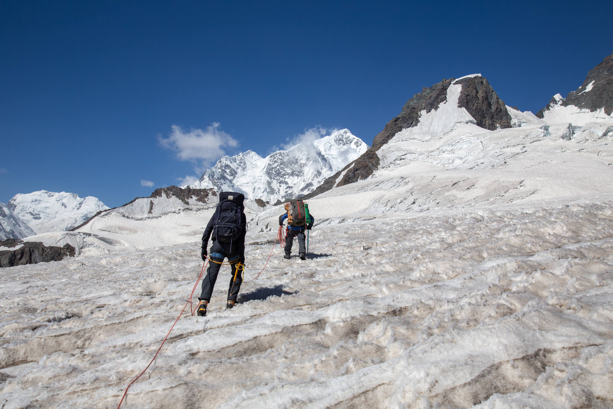
To reach the village of Poimazor, we first have to climb up a glacier and cross a pass over slightly technical terrain.
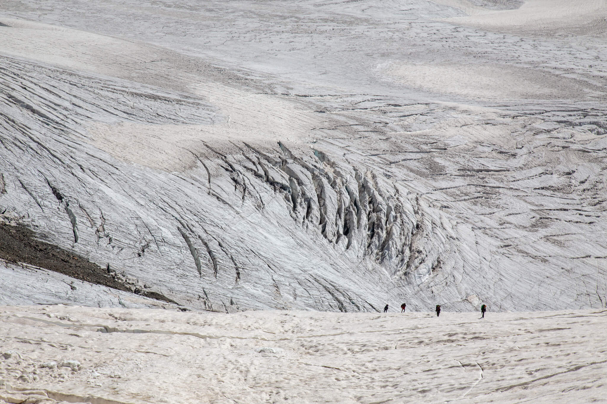
We divide the group into two roped parties. At the end of summer, the glacier is dangerous. Snow bridges and crevasses abound. Ice axe in one hand and walking stick in the other, we climb slowly, one step at a time. We straddle the crevasses, rope taut, without lingering.
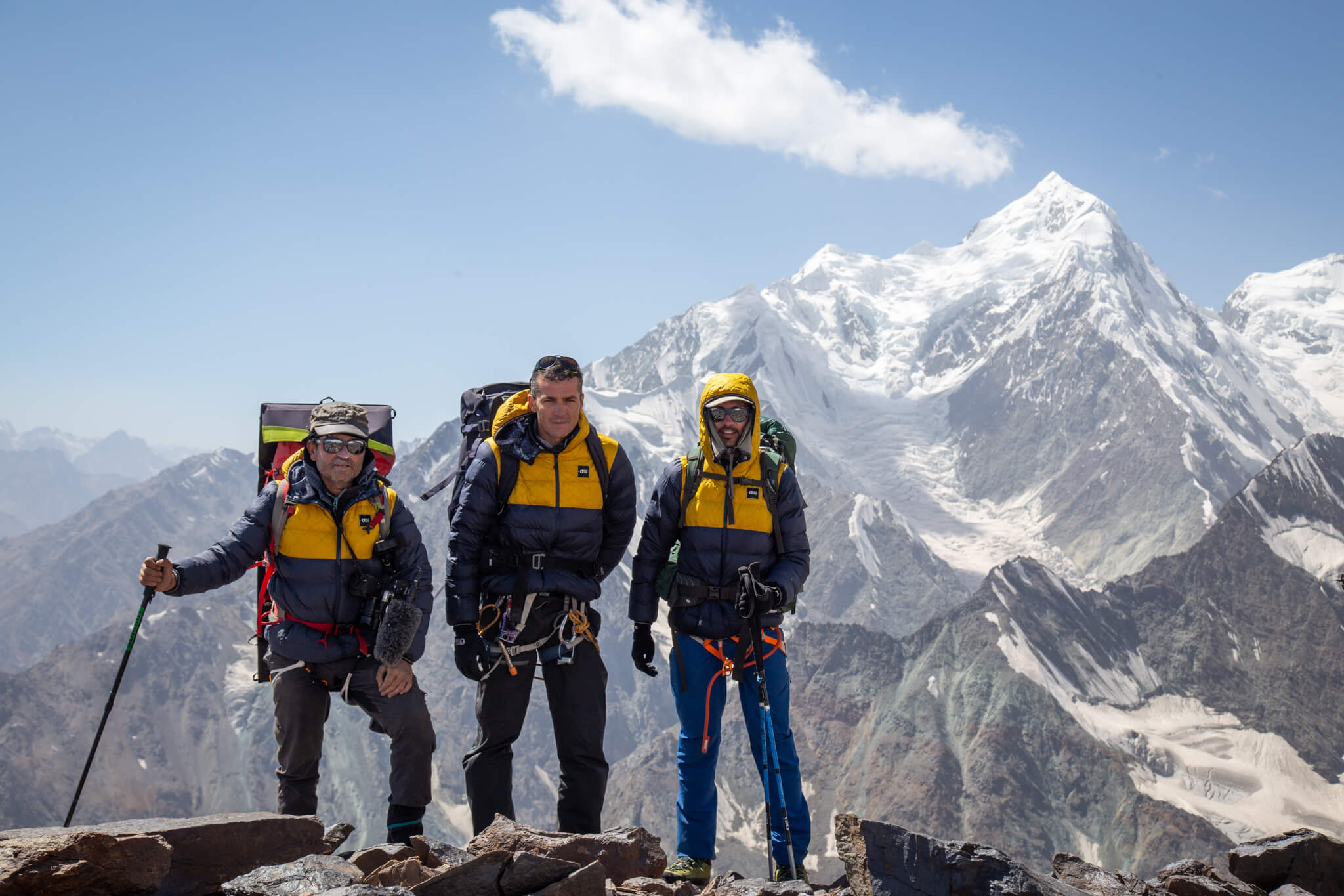
The Kashola-Yakh pass at an altitude of 4,400 metres is our escape route from the Fedchenko glacier. Christophe, Cédric and I are ready for the final descent.
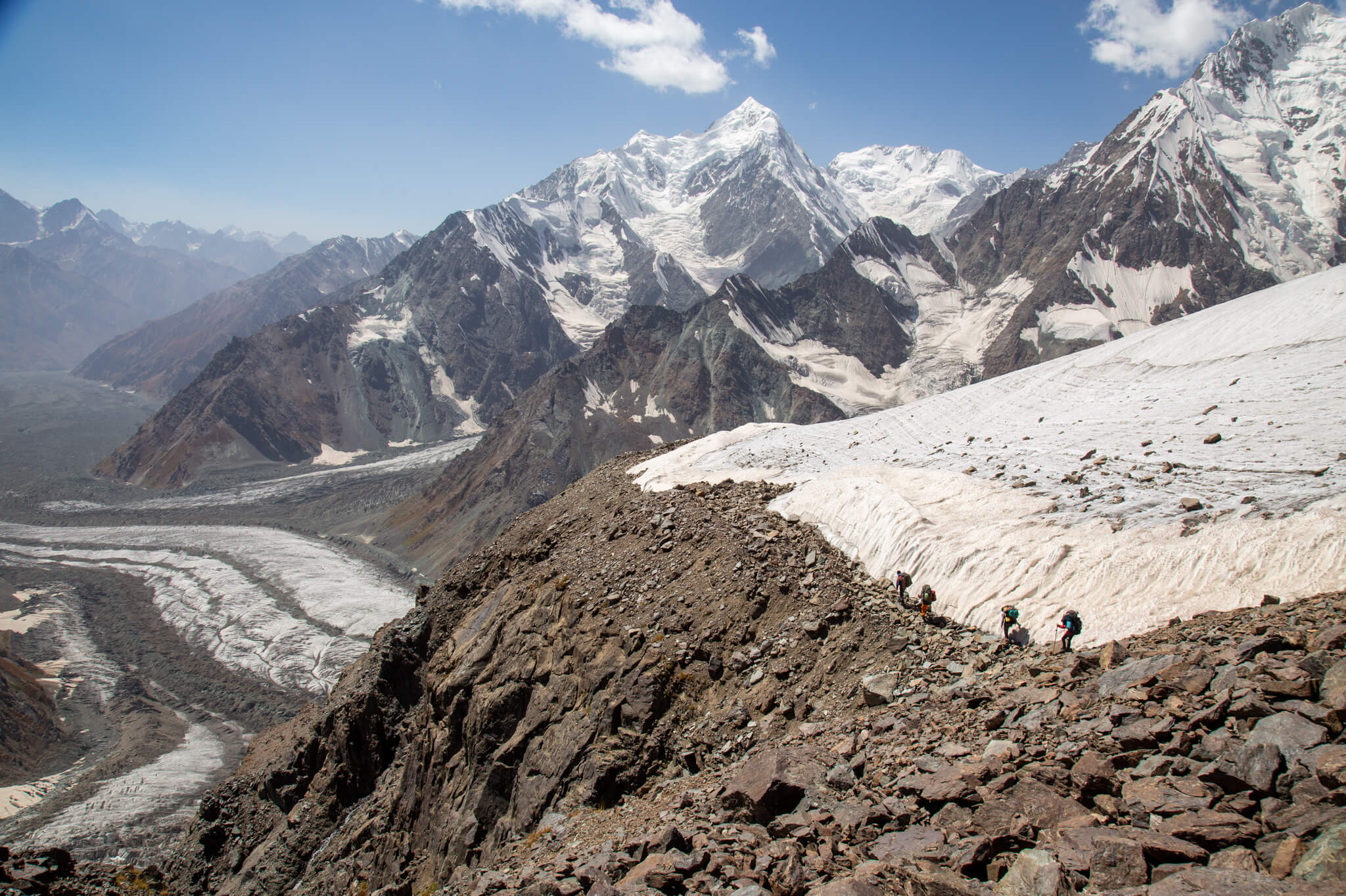
The descent into the rocks is slow.
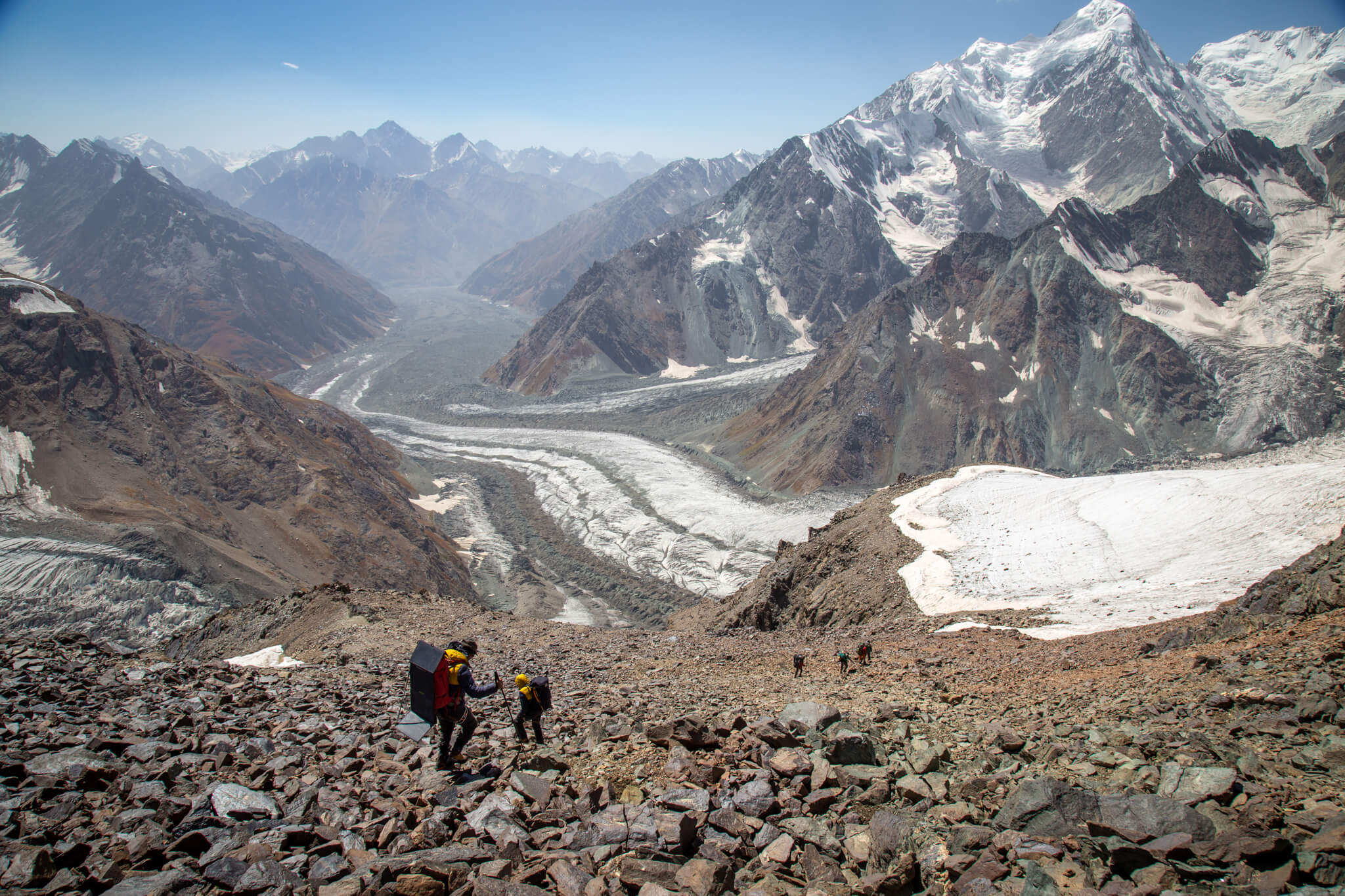
The view over the valley is breathtaking. With a glance, we take note of the program to come. We have to descend a whole section of mountain to reach a new glacier in the valley that will lead us to Poimazor.
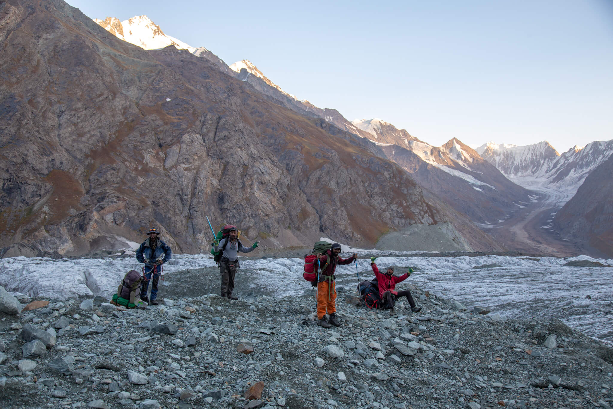
After a few rock falls and slips, we arrive at the glacier in a state of exhaustion.
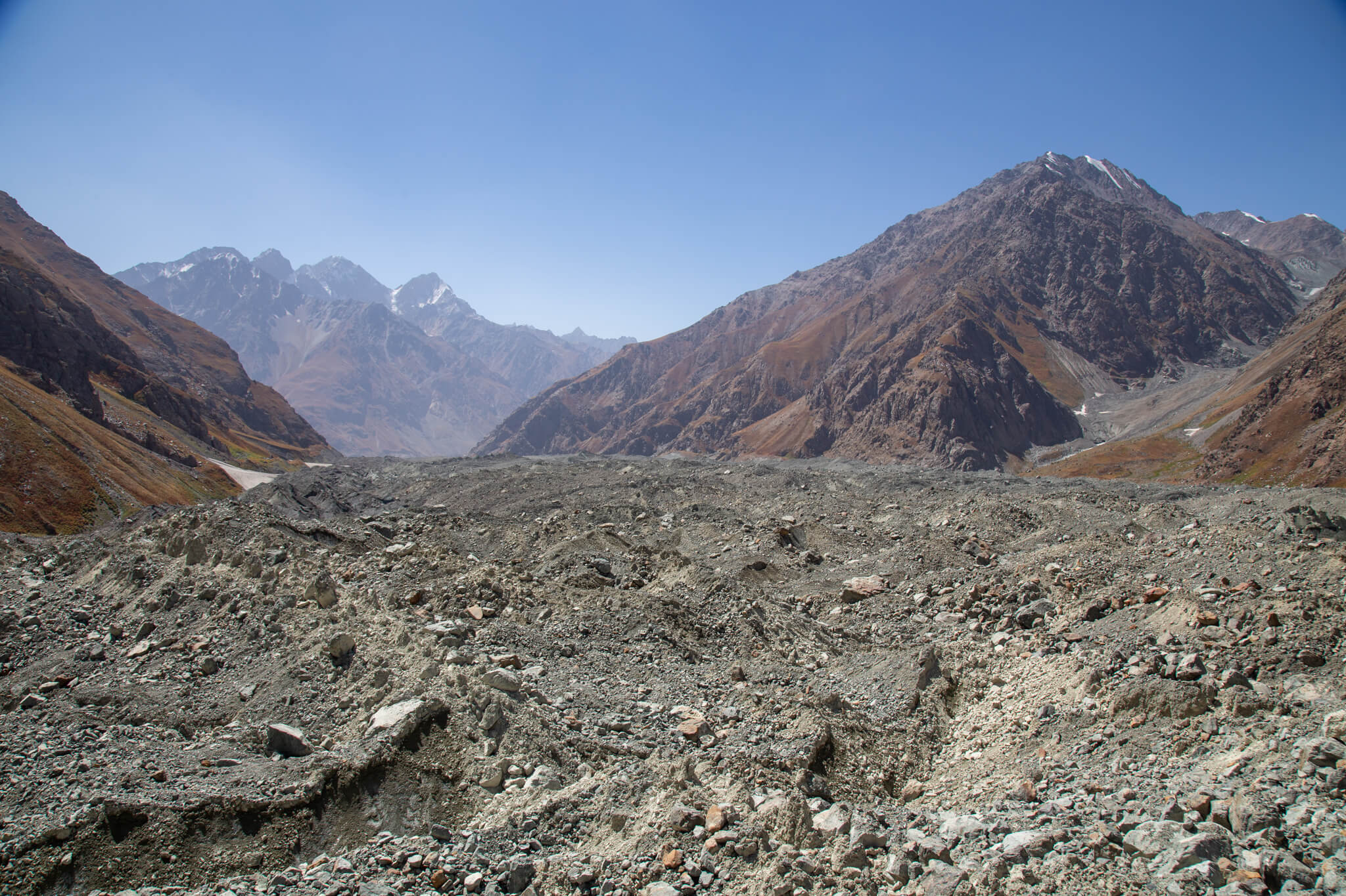
The long walk to Poimazor is endless. We play tightrope walker on the rocks covering a black glacier. As the glacier flows down the valley, it displaces a phenomenal quantity of sediment, creating hills of stone, earth and dust that we have to climb. The very unstable terrain is wearisome, with stones rolling under our feet, throwing us off balance and blocking our view of the horizon. In 10 hours, we cover 13 km as the crow flies and finally reach the river that leads to Poimazor, marking the end of this expedition.
It’s a little-known glacier, yet it’s the longest mountain glacier in the world. It’s so difficult to access that hardly anyone sets foot on it. It’s very demanding terrain, with abseiling, river crossings, scree slopes, crevasses and passes at 5,000 meters.
For a month, we travelled upstream along the Amou-Daria. From the Aral Sea in Uzbekistan, to its source: the Fedchenko glacier in Tajikistan.
The glaciers of the Pamir are the water tower of Central Asia. They are central to the region’s prosperity, stability and peace.
Thanks to my adventure companions Cedric and Christophe, to our guide Anatoli and to the whole team of porters: Hakim, Hamid, Zarballi, Rachim and Simeon. Thanks also to our official partner PICTURE, who made this adventure possible, and our logistical and material partners: Tamera, Telloc Satellite, Lyophilisé & Co, Goal Zéro, Samaya, Osprey, Petzl and Ledlenser.
See the interactive map of our adventure on LiveXplorer.